MyTopo
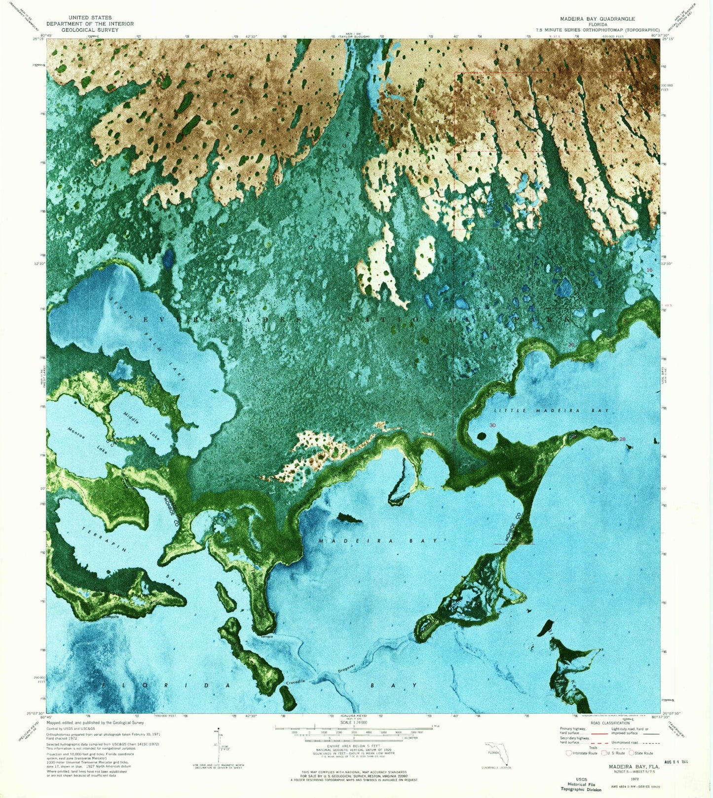
Classic USGS Madeira Bay Florida 7.5'x7.5' Topo Map
Couldn't load pickup availability
Historical USGS topographic quad map of Madeira Bay in the state of Florida. Map scale may vary for some years, but is generally around 1:24,000. Print size is approximately 24" x 27"
This quadrangle is in the following counties: Miami-Dade, Monroe.
The map contains contour lines, roads, rivers, towns, and lakes. Printed on high-quality waterproof paper with UV fade-resistant inks, and shipped rolled.
Contains the following named places: Big Key, Black Betsy Keys, Carrollton School, Coconut Grove United Methodist Church, Crocodile Dragover, Crocodile Point, Little Madeira Bay, Little Madeira Hammock, Madeira Bay, Maderia Hammock, Maderia Point, McCormick Creek, Middle Lake, Monroe Lake, Oyster Creek, Seven Palm Lake, Taylor River, Terrapin Bay, Terrapin Point