MyTopo
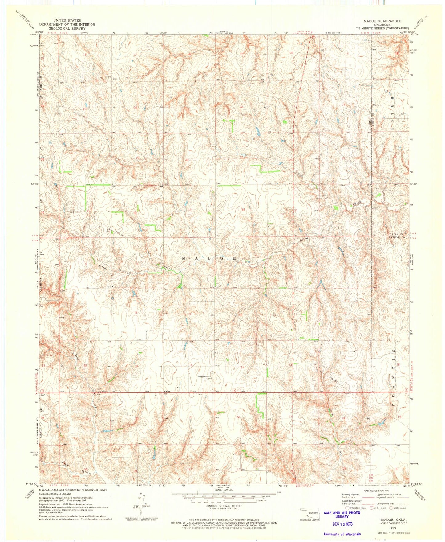
Classic USGS Madge Oklahoma 7.5'x7.5' Topo Map
Couldn't load pickup availability
Historical USGS topographic quad map of Madge in the state of Oklahoma. Map scale may vary for some years, but is generally around 1:24,000. Print size is approximately 24" x 27"
This quadrangle is in the following counties: Greer, Harmon.
The map contains contour lines, roads, rivers, towns, and lakes. Printed on high-quality waterproof paper with UV fade-resistant inks, and shipped rolled.
Contains the following named places: Carl, Dixon Hollow, Floyd Carter Dam, Floyd Carter Reservoir, Fred Yarbrough Dam, Fred Yarbrough Reservoir, Independence Cemetery, Jolly Bob Downs Dam, Jolly Bob Downs Reservoir, Madge, Rufus Sherrill Number 1 Dam, Rufus Sherrill Number 1 Lake, Rufus Sherrill Number 2 Dam, Rufus Sherrill Number 2 Lake, Township of Madge, ZIP Code: 73571