MyTopo
Classic USGS Madill Oklahoma 7.5'x7.5' Topo Map
Couldn't load pickup availability
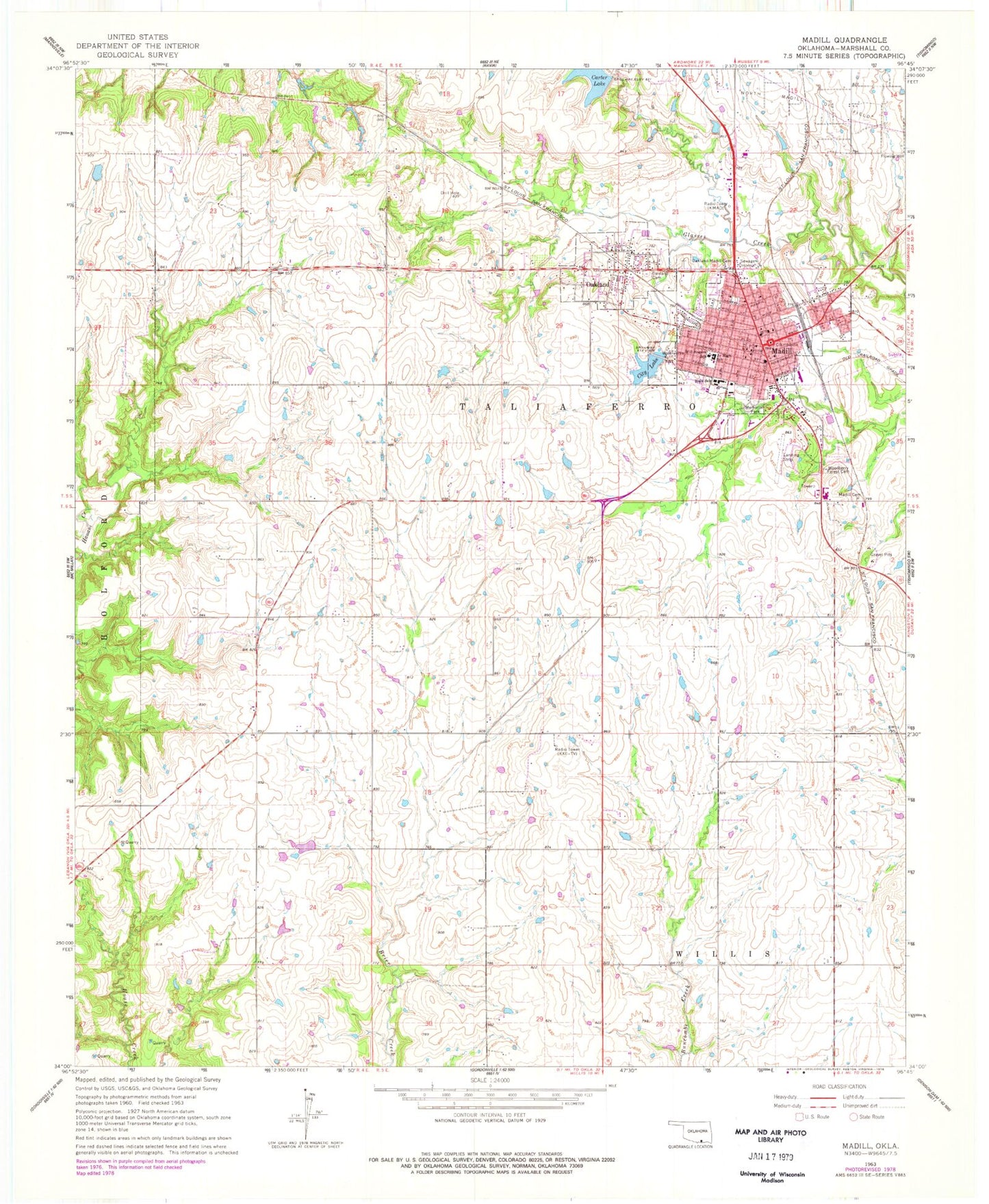
Historical USGS topographic quad map of Madill in the state of Oklahoma. Map scale may vary for some years, but is generally around 1:24,000. Print size is approximately 24" x 27"
This quadrangle is in the following counties: Marshall.
The map contains contour lines, roads, rivers, towns, and lakes. Printed on high-quality waterproof paper with UV fade-resistant inks, and shipped rolled.
Contains the following named places: Antioch, Carter Lake Dam, Church of Christ, Church of the Nazarene, City Lake, City of Madill, Flying M Airport, Grace Baptist Church, Holy Cross Catholic Church, Integris Marshall County Medical Center, KMAD-AM (Madill), KMAD-FM (Madill), KXII-TV (Ardmore), Madill, Madill Cemetery, Madill City Lake Dam, Madill Elementary School, Madill Fire Department, Madill High School, Madill Middle School, Madill Police Department, Madill Post Office, Marshall County, Marshall County Emergency Medical Services District, Marshall County Jail, Marshall County Sheriff's Office, Memorial Park, North Marshall Division, Oakland, Oakland Cemetery, Oakland-Madill Cemetery, Oknoname 095002 Dam, Oknoname 095002 Reservoir, Town of Oakland, Township of Taliaferro, Woodberry Forest Cemetery, ZIP Code: 73446