MyTopo
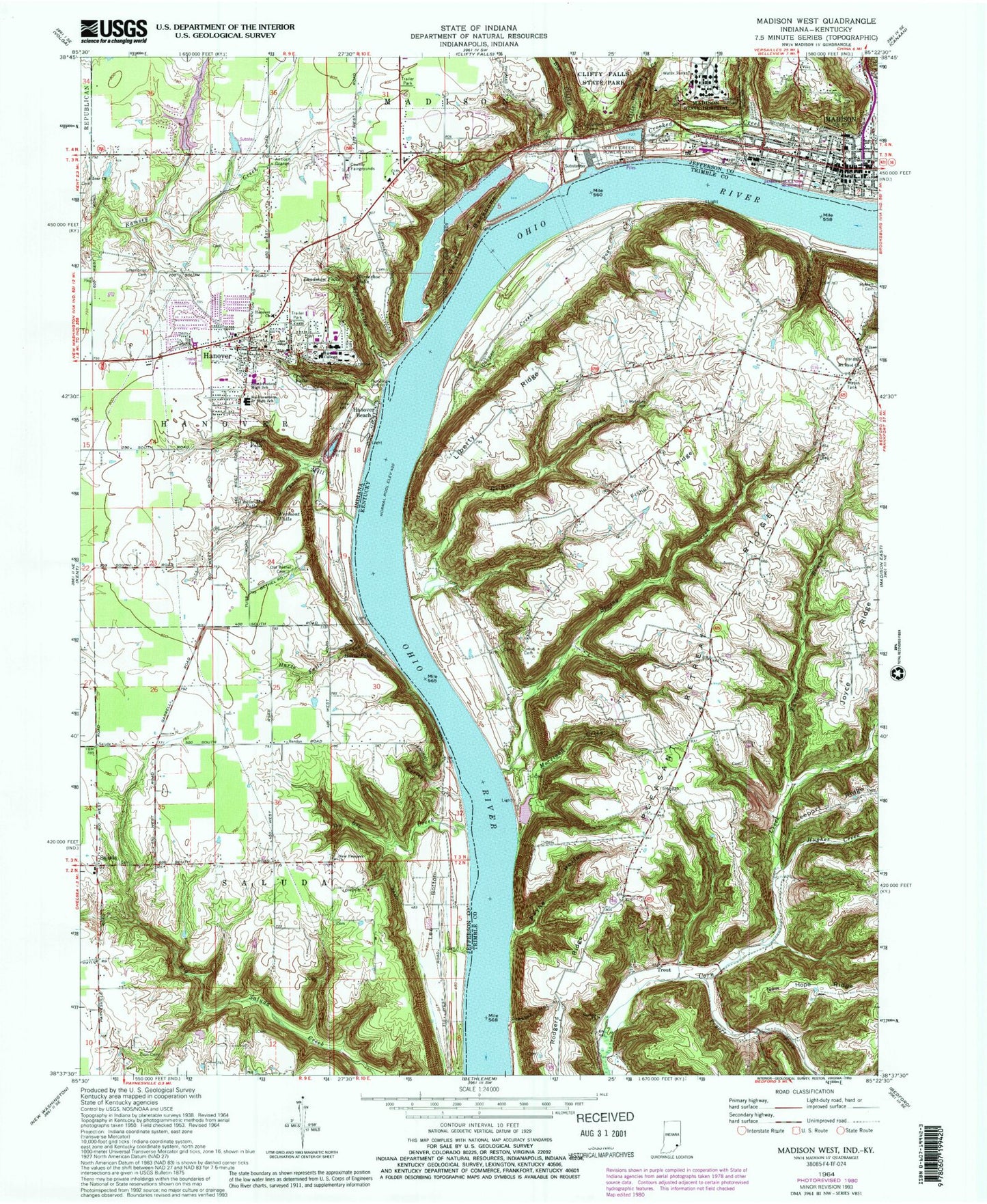
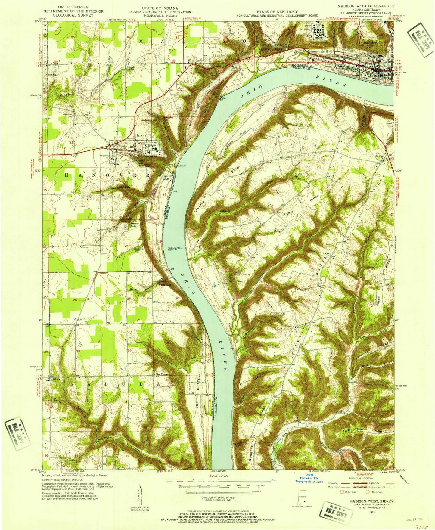
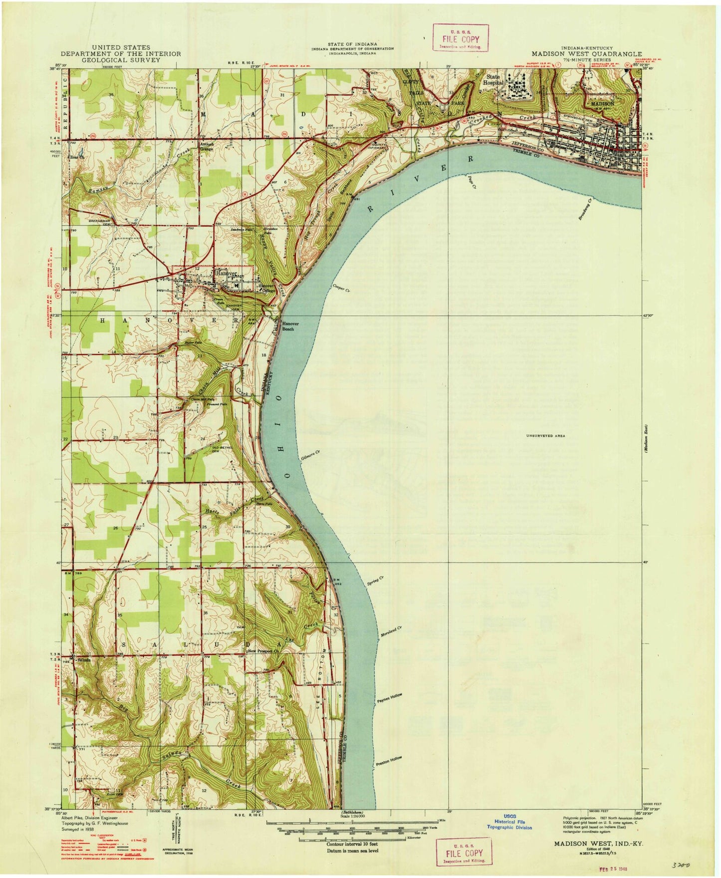
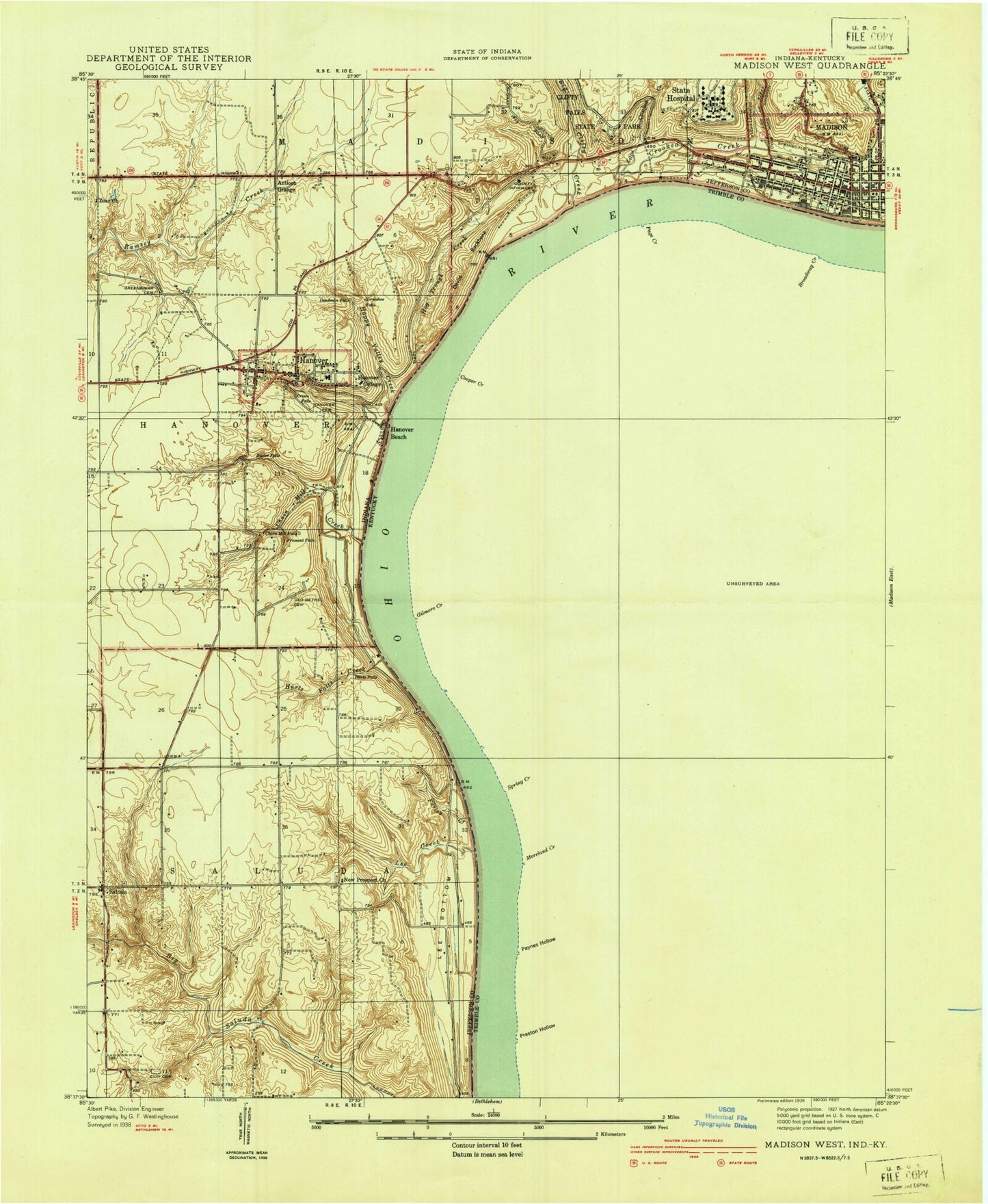
Classic USGS Madison West Indiana 7.5'x7.5' Topo Map
Couldn't load pickup availability
Historical USGS topographic quad map of Madison West in the states of Indiana, Kentucky. Map scale may vary for some years, but is generally around 1:24,000. Print size is approximately 24" x 27"
This quadrangle is in the following counties: Jefferson, Trimble.
The map contains contour lines, roads, rivers, towns, and lakes. Printed on high-quality waterproof paper with UV fade-resistant inks, and shipped rolled.
Contains the following named places: Antioch Grange, Big Clifty Creek, Broadway Hollow, Butler Falls, Chain Mill Creek, Chain Mill Falls, Christ Episcopal Church, City of Milton, Clifty Creek Power Plant, Cooper Creek, Coopers Bottom, Crooked Creek, Crowe Falls, Deadman Falls, Delia Webster Historical Marker, Devils Backbone, Faith Covenant Church, Farley Creek, First Baptist Church, First Christian Church, Fisher Ridge, Fremont Falls, Furnace Branch, Gilmore Creek, Greenbriar Cemetery, Hanover, Hanover Beach, Hanover Cemetery, Hanover Church, Hanover College, Hanover Landing, Hanover Police Department, Hanover Post Office, Hanover Volunteer Fire Company, Happy Valley Creek, Harts Falls, Harts Falls Creek, Horseshoe Falls, Hughes Creek, James F D Lanier Memorial, Jefferson County Sheriff's Office, Joyce Ridge, Lee Bottom, Lee Bottom Airport, Lee Creek, Liberty Ridge, Little Crooked Creek, Little Grand Theatre, Madison, Madison - Jefferson County Public Library, Madison Country Club, Madison Juvenile Correctional Facility, Madison Police Department, Madison Post Office, Madison Presbyterian Church, Madison State Hospital, Madison Theatre, Madison Volunteer Fire Department - Western Fire Company 3, Madison Volunteer Fire Department Fairplay Fire Company 1, Madison Volunteer Fire Department Walnut Street Fire Company 4, Madison Volunteer Fire Department Washington Engine Fire Company 2, McIntire Cemetery, Milton Church, Milton Division, Milton Hill, Milton Volunteer Fire and Rescue, Moreland Creek, Mount Bryd Church, Mount Byrd, New London, New Prospect Church, Norfolk Church, Ohio Theatre, Old Bethel Cemetery, Page Creek, Pleasant Retreat Ridge, Preston Hollow, Pryors Fork, Rider Lake, Rodgers Ridge, Saluda, Southwestern Elementary School, Southwestern High School, Spring Creek, Spring Creek Bottom, Springdale Cemetery, Town of Hanover, Township of Hanover, Township of Saluda, Trinity United Methodist Church, Trout, Trout Cemetery, Trout Ridge, Zion Cemetery, Zoar Church, ZIP Code: 47243


