MyTopo
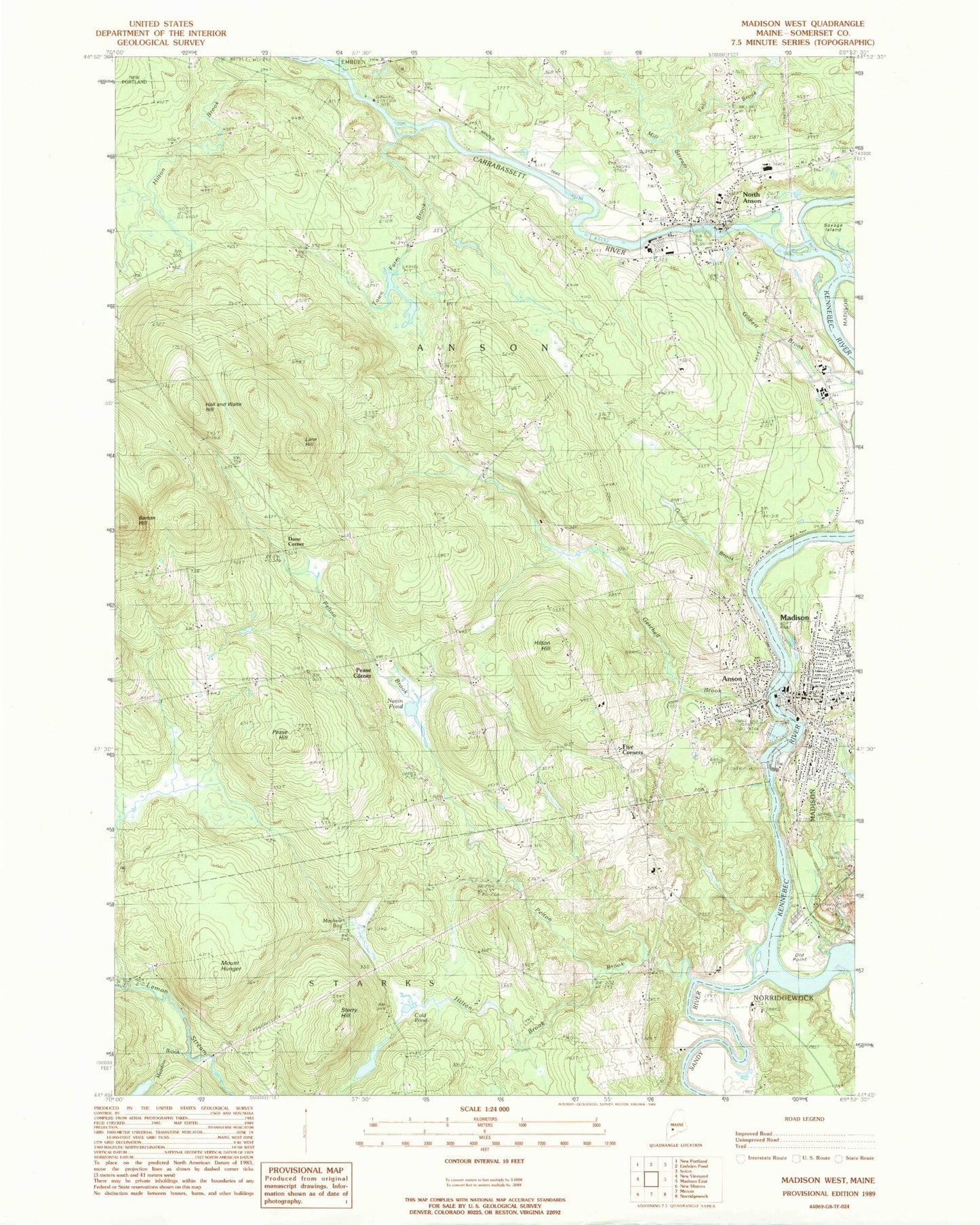
Classic USGS Madison West Maine 7.5'x7.5' Topo Map
Couldn't load pickup availability
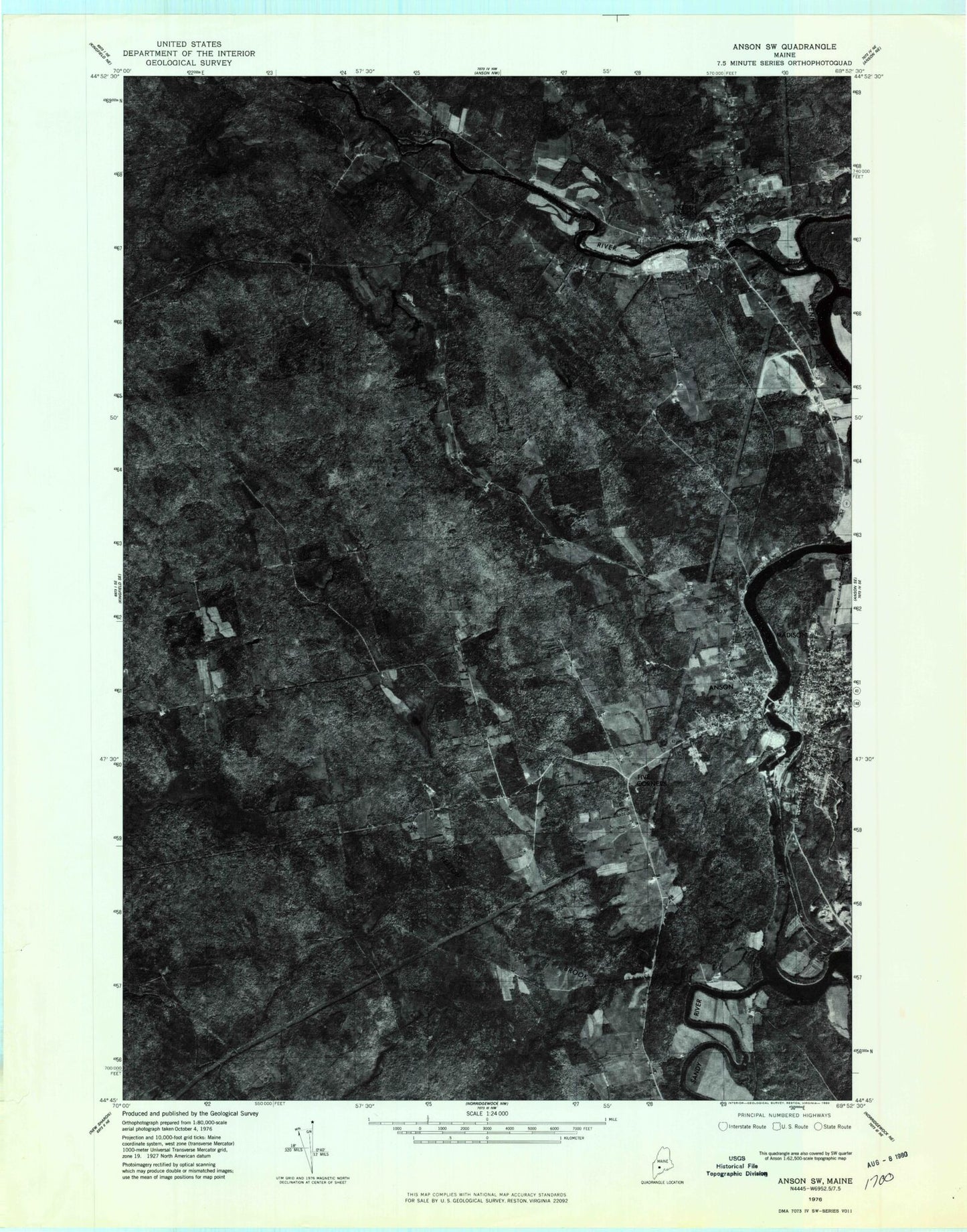
Historical USGS topographic quad map of Madison West in the state of Maine. Map scale may vary for some years, but is generally around 1:24,000. Print size is approximately 24" x 27"
This quadrangle is in the following counties: Somerset.
The map contains contour lines, roads, rivers, towns, and lakes. Printed on high-quality waterproof paper with UV fade-resistant inks, and shipped rolled.
Contains the following named places: Abenaquis Dam, Anson, Anson - Madison Starks Ambulance Service, Anson Census Designated Place, Anson Post Office, Anson Station Dam, Anson Volunteer Fire Department - North Station, Anson Volunteer Fire Department South Station, Athearn Cemetery, Barton Hill, Calvary Presbyterian Church, Carrabassett River, Carrabec Community School, Carrabec High School, Cold Pond, Dane Corner, Emery Cemetery, Fahi Brook, Falls Brook, First Congregational Church, Five Corners, Garret Schenck Elementary School, Getchell Brook, Gilbert Brook, Gilman Brook, Hilton Brook, Hilton Hill, Holland Waite Hill, Jones Brook, Kennebec River Reservoir, Lane Hill, Madison, Madison Congregational Church, Madison Elementary School, Madison Fire Department, Madison Methodist Church, Madison Paper Corporation Log Dam, Madison Police Department, Madison Post Office, Madison Public Library, Mayhew Bog, Meadow Brook, Mill Stream, Mount Hunger, Mutton Hill Cemetery, Nevens Pond, North Anson, North Anson Census Designated Place, North Anson Post Office, Old Point, Old Point Avenue School, Old Point Cemetery, Pease Corner, Pease Hill, Pelton Brook, Saint Sebastian Catholic Church, Saint Sebastian Cemetery, Saint Sebastian Parish Hall, Sandy River, Savage Island, Sterry Hill, Stewart Public Library, Sunset Cemetery, Town Farm Brook, Town of Anson, United Baptist Church of Madison, WIGY-FM (Madison), ZIP Code: 04911


