MyTopo
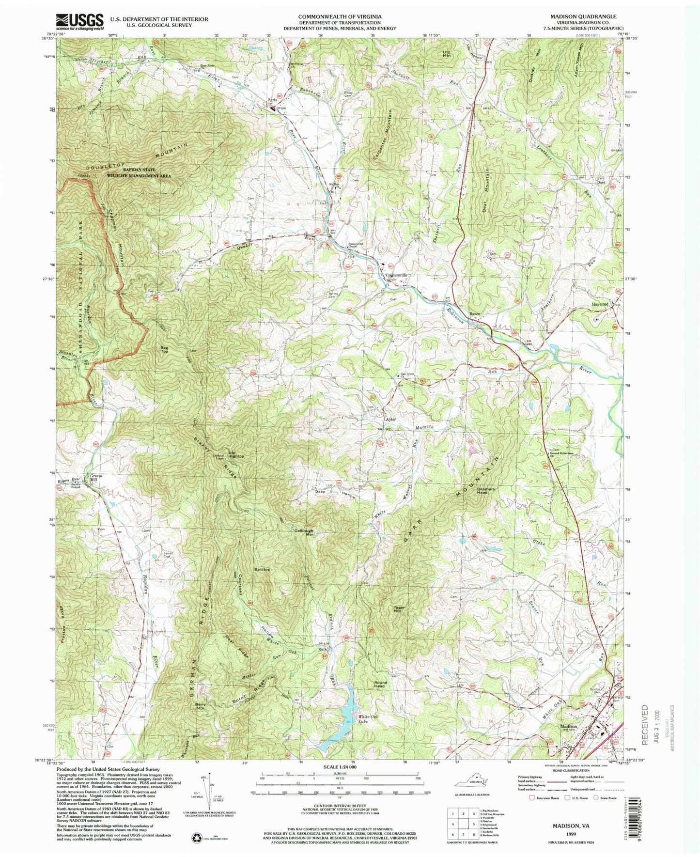
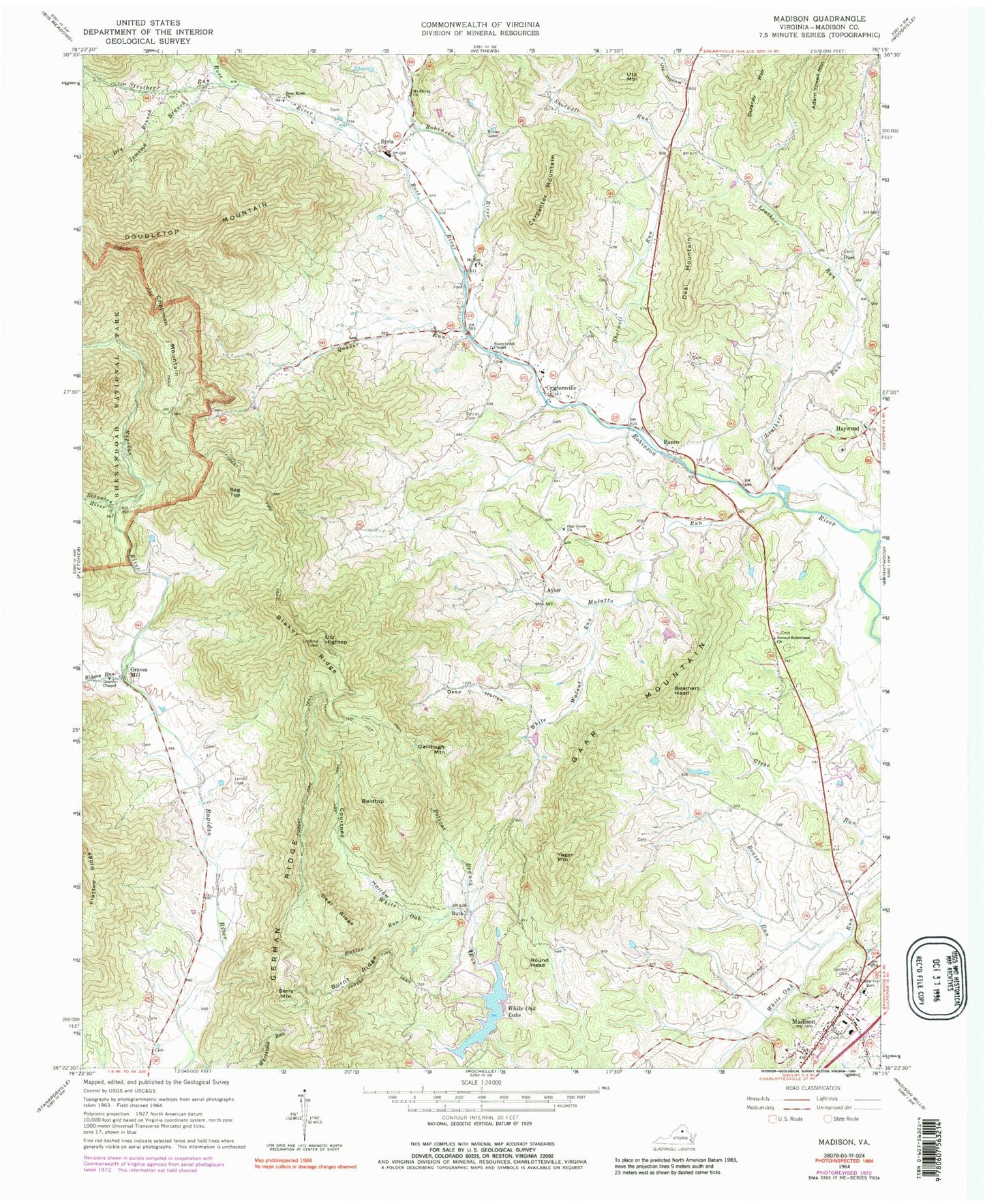
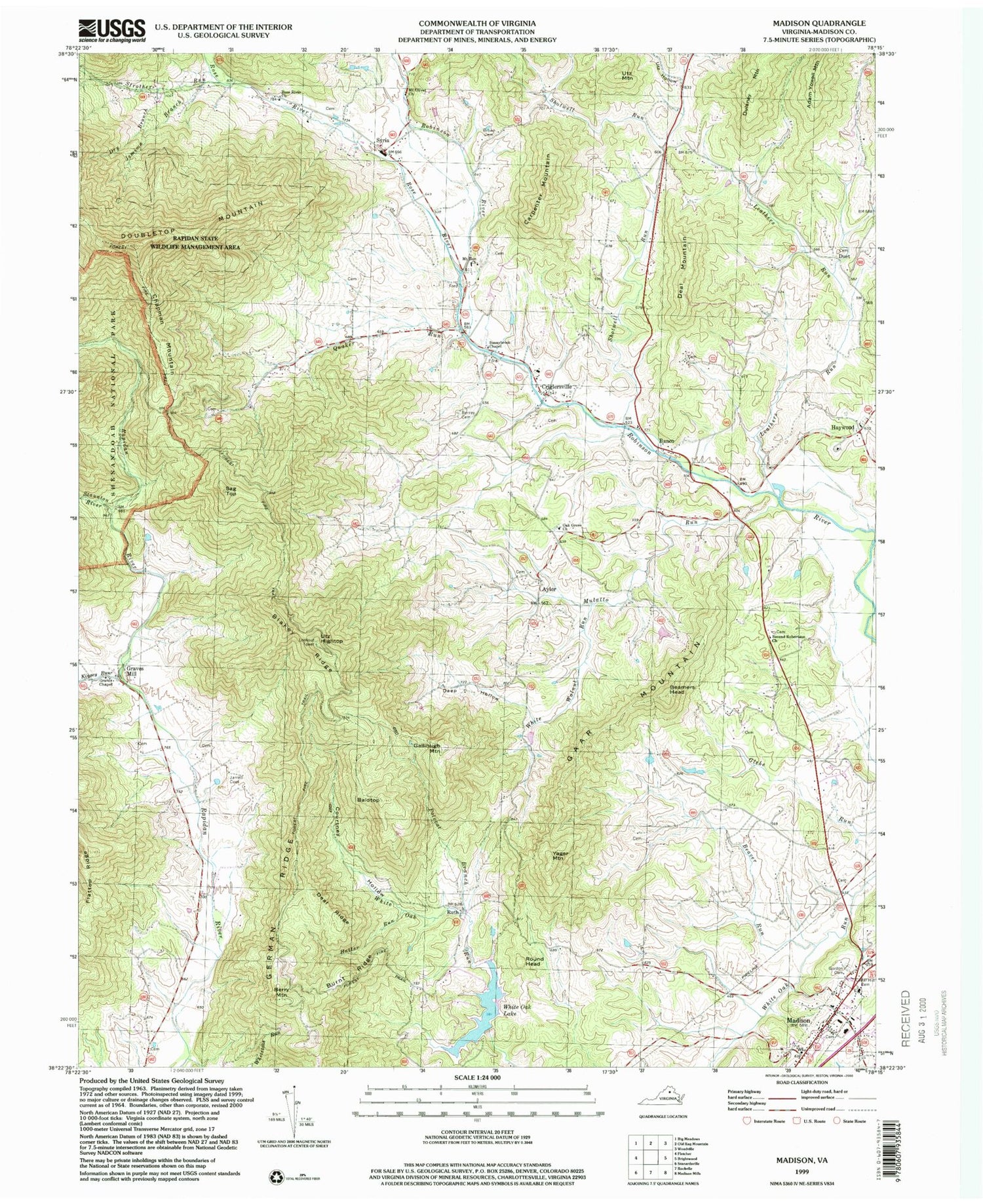
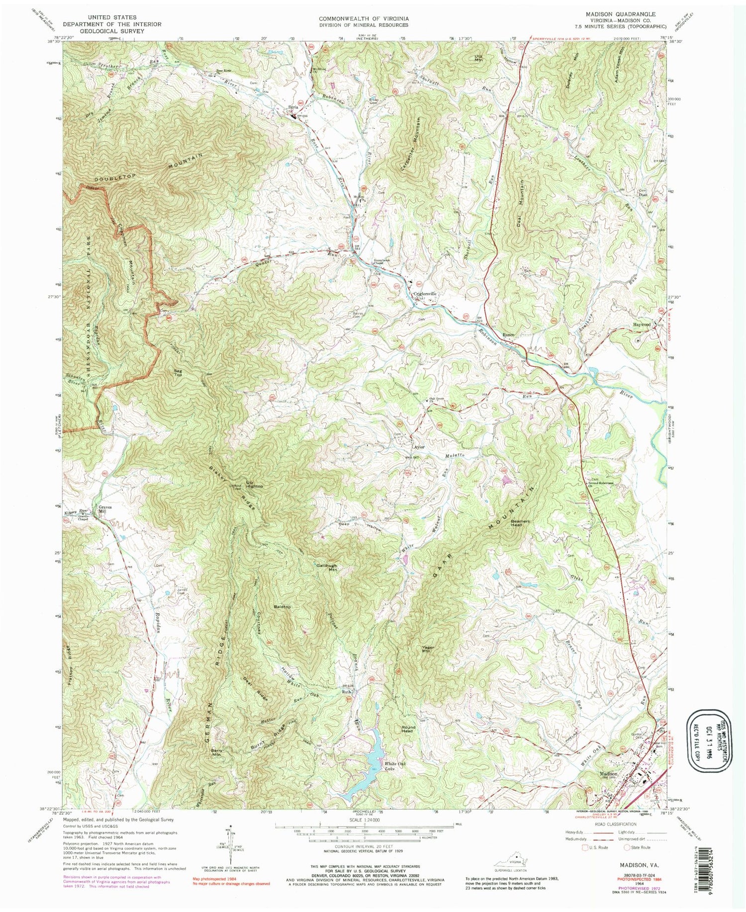
Classic USGS Madison Virginia 7.5'x7.5' Topo Map
Couldn't load pickup availability
Historical USGS topographic quad map of Madison in the state of Virginia. Typical map scale is 1:24,000, but may vary for certain years, if available. Print size: 24" x 27"
This quadrangle is in the following counties: Madison.
The map contains contour lines, roads, rivers, towns, and lakes. Printed on high-quality waterproof paper with UV fade-resistant inks, and shipped rolled.
Contains the following named places: Baldtop, Beamers Head, Beaver Run, Berry Cemetery, Berry Mountain, Blakey Ridge, Brown Cemetery, Burnt Ridge, Carpenter Mountain, Cedar Hill Cemetery, Courtney Hollow, Criglersville, Deal Ridge, Deep Hollow, Dry Branch, Gaar Mountain, German Ridge, Gordon Cemetery, Graves Chapel, Hatter Run, Jarrell Cemetery, Jemima Branch, Kinsey Run, Leathers Run, Mount Olivet United Methodist Church, Mount Zion Church, Mulatto Run, Oak Grove United Methodist Church, Polecat Branch, Quaker Run, Rose River, Rose River Church, Second Robertson Church, Shotwell Run, Staunton River, Strother Run, Sunnybrook Chapel, Utz Hollow, White Walnut Run, Finks Run, Haywood, Ruth, Syria, White Oak Dam, Criglersville Elementary School, Finks Run, German Ridge Church (historical), Madison County, Mount Pisgah Church (historical), Mount Zion Cemetery, Ruth School (historical), Second Robertson Cemetery, Shotwell School (historical), Swift Ford School (historical), Aylor, Banco, Chapman Mountain, Deal Mountain, Duet, Gallihugh Mountain, Graves Mill, Round Head, Sag Top, Yager Mountain, Utz Hightop, Utz Mountain, Madison, White Oak Lake, Rapidan District, Robertson District, Gallihugh Cemetery, Madison County Sheriffs Office, Town of Madison, The Flock of Madison Church, Waverly Yowell Elementary School, Richards Hollow, Syria Post Office, Madison County Sheriff's Office


