MyTopo
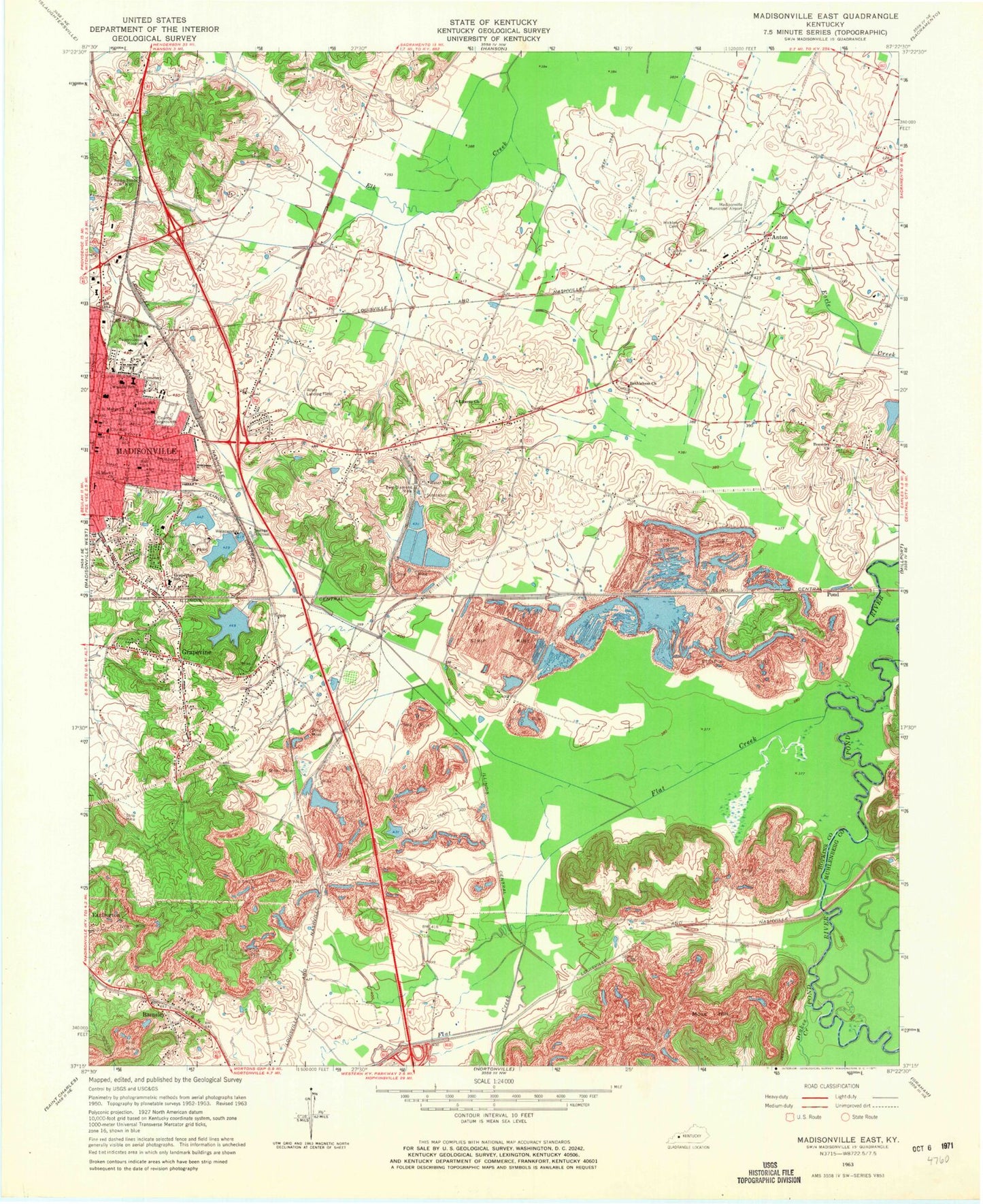
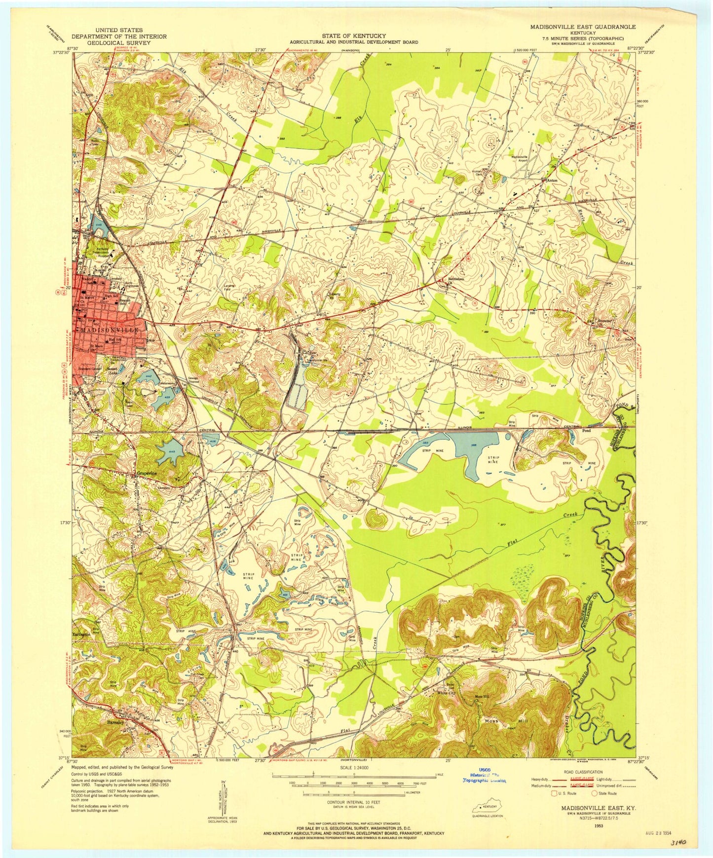
Classic USGS Madisonville East Kentucky 7.5'x7.5' Topo Map
Couldn't load pickup availability
Historical USGS topographic quad map of Madisonville East in the state of Kentucky. Map scale may vary for some years, but is generally around 1:24,000. Print size is approximately 24" x 27"
This quadrangle is in the following counties: Hopkins, Muhlenberg.
The map contains contour lines, roads, rivers, towns, and lakes. Printed on high-quality waterproof paper with UV fade-resistant inks, and shipped rolled.
Contains the following named places: Anton, Anton Fire Department, Baptist Health Madisonville Hospital, Barnsley, Barnsley Census Designated Place, Bethlehem Christian Church, Branch School, Browder Methodist Church, Carlows Stone Wall Historical Marker, Drakes Creek, East Diamond, East Diamond Mine, Flat Creek, Flat Creek Cemetery, Governor Ruby Laffoon Historical Marker, Grapevine, Grapevine Baptist Church, Grapevine Cemetery, Grapevine Christian Church, Grapevine Community Fire Department, Grapevine Lake, Grapevine School, Hall School, Hicklin Cemetery, Hockersmith House Historical Marker, Hopkins County Historical Marker, Hopkins County Sheriff's Office, Kentucky Division of Forestry Green River District, Liberty, Liberty Church, Madisonville, Madisonville Courthouse Burning Historical Marker, Madisonville Division, Madisonville Fire Department Station 1, Madisonville Fire Department Station 2, Madisonville Police Department, Madisonville Regional Airport, Moss Hill, Nathan Bedford Forrest Foraging Historical Marker, Pond, RMC Heliport, Saint Marks Church, Saint Marys Church, Waddill School, WFMW-AM (Madisonville), WKTG-FM (Madisonville), WSOF-FM (Madisonville), ZIP Code: 42431


