MyTopo
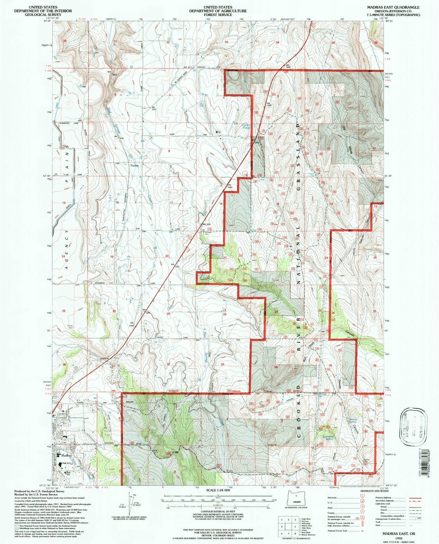
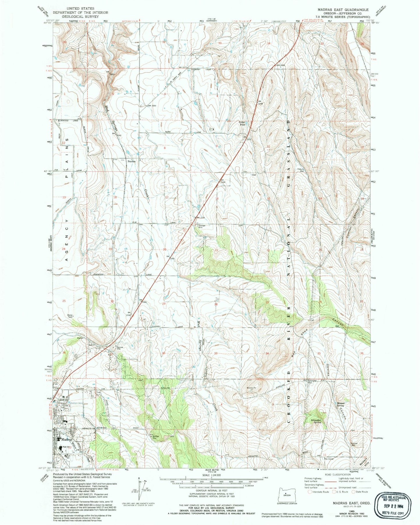
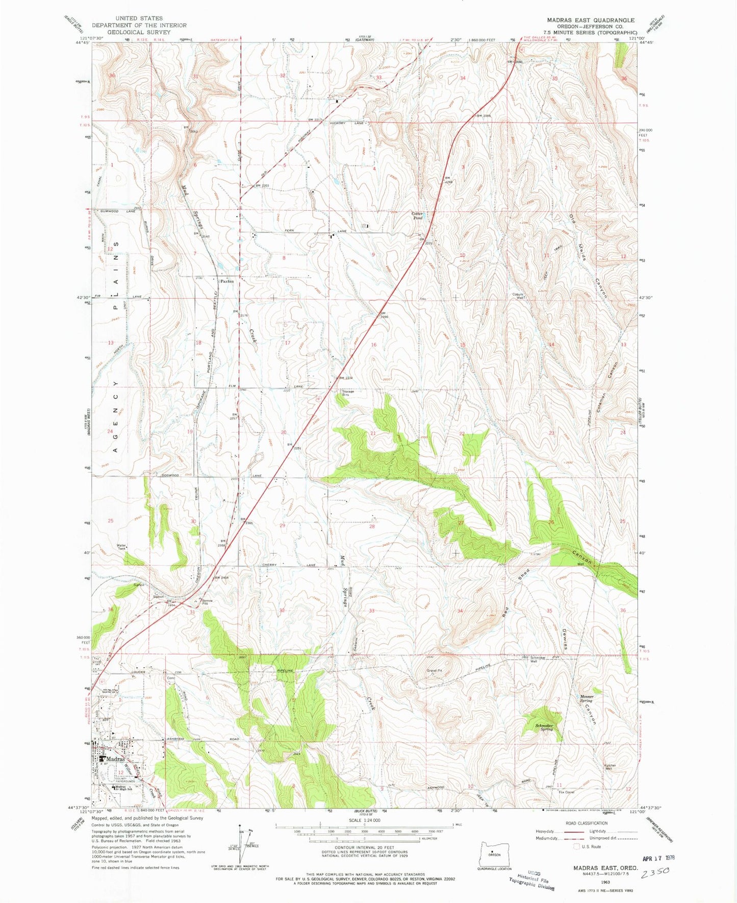
Classic USGS Madras East Oregon 7.5'x7.5' Topo Map
Couldn't load pickup availability
Historical USGS topographic quad map of Madras East in the state of Oregon. Map scale may vary for some years, but is generally around 1:24,000. Print size is approximately 24" x 27"
This quadrangle is in the following counties: Jefferson.
The map contains contour lines, roads, rivers, towns, and lakes. Printed on high-quality waterproof paper with UV fade-resistant inks, and shipped rolled.
Contains the following named places: Bean Park, Buff Elementary School, Coburn Well, Coleman Canyon, Cotter Pond, Cowden Park, Deer Ridge Correctional Institution, Dewies Canyon, Fox Corral, Jefferson County Middle School, Jefferson County Public Works, Juniper Hill Park, Kutcher Well, Madras Elementary School, Madras High School, Monner Spring, Mount Jefferson IOOF Cemetery, Mountain View Hospital, Mountain View Hospital Heliport, Mud Springs Valley, Oak Street Park, Paxton, Red Shed Canyon, Schmoker Spring, Schmoker Well, ZIP Code: 97741


