MyTopo
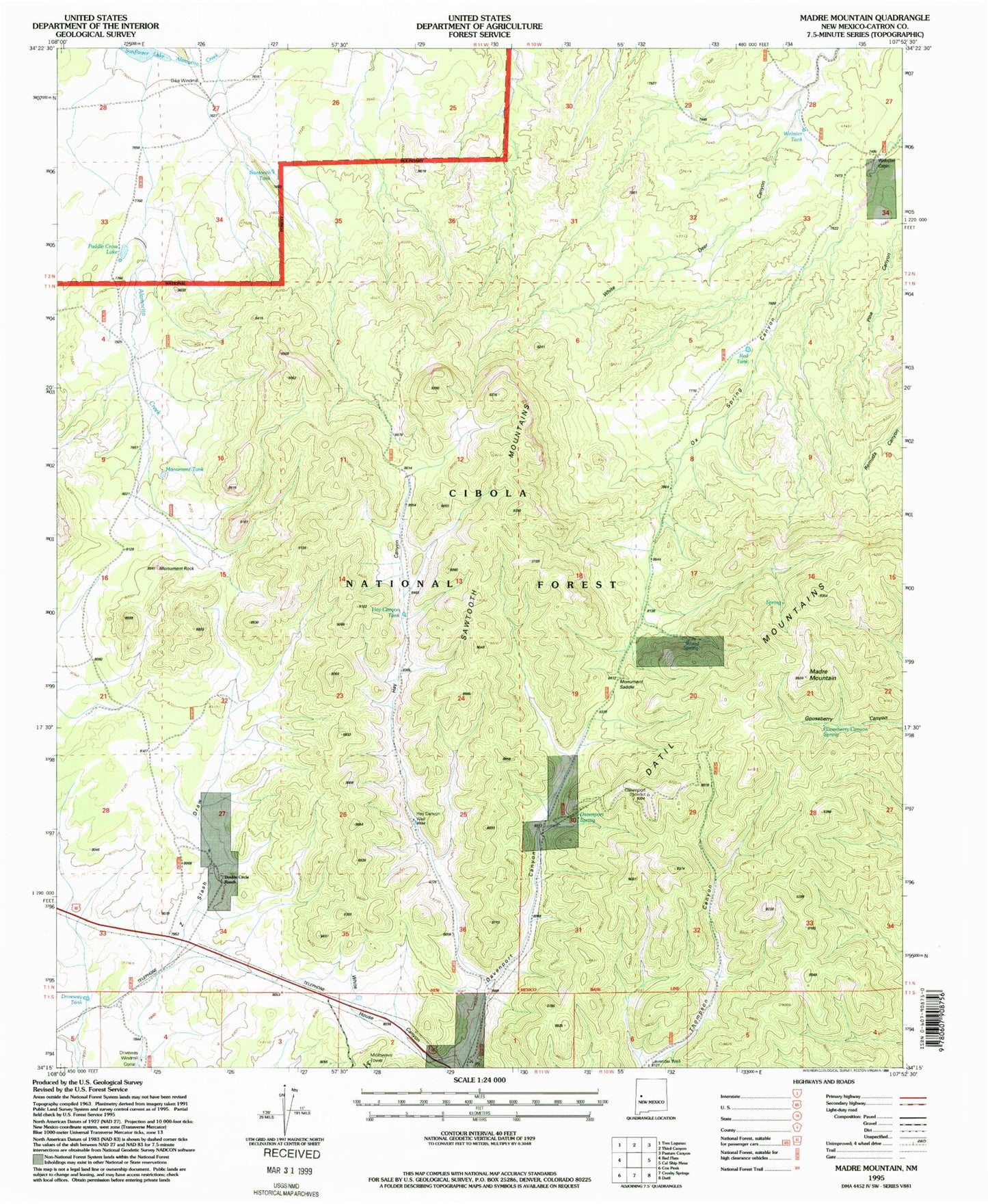
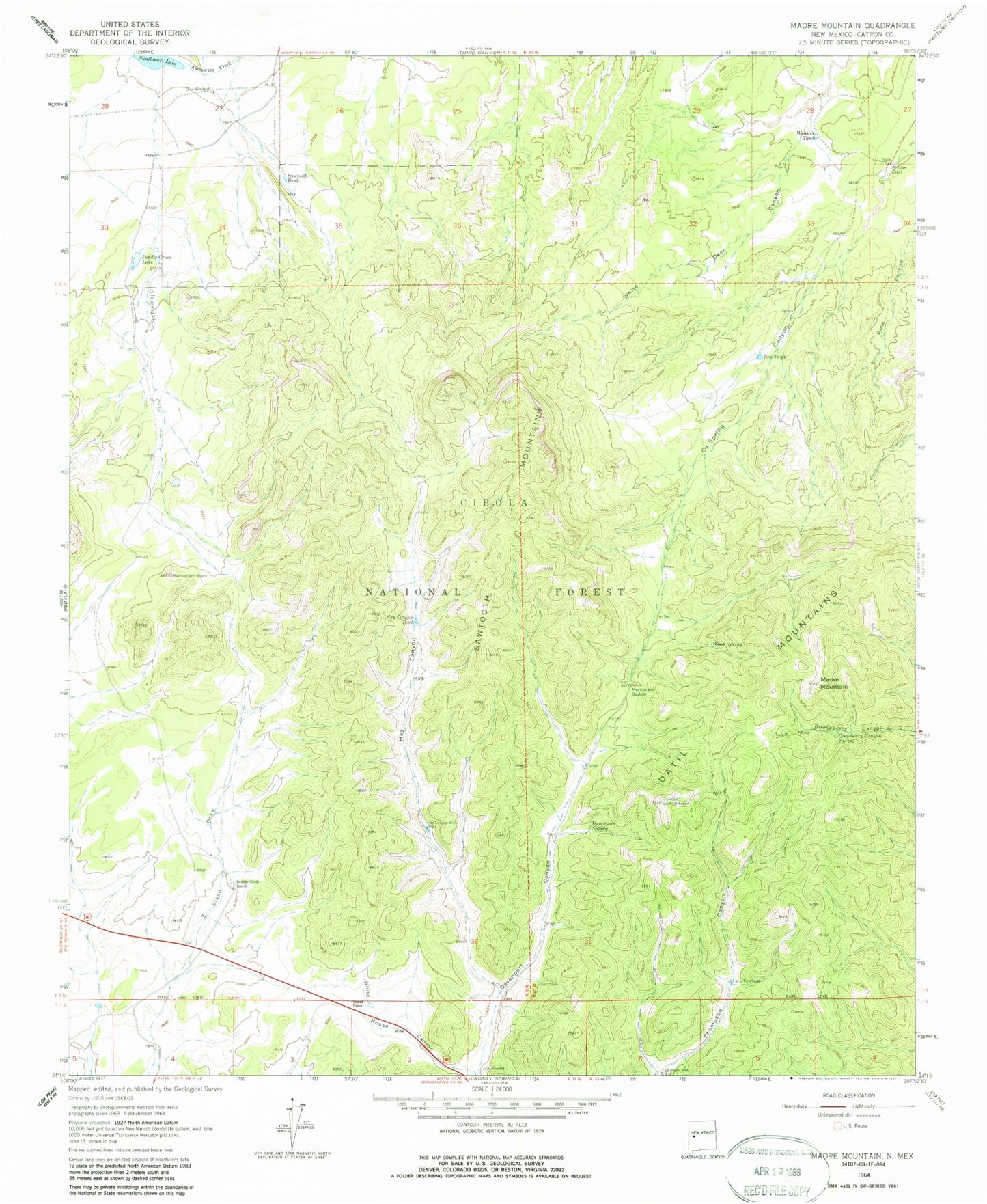
Classic USGS Madre Mountain New Mexico 7.5'x7.5' Topo Map
Couldn't load pickup availability
Historical USGS topographic quad map of Madre Mountain in the state of New Mexico. Typical map scale is 1:24,000, but may vary for certain years, if available. Print size: 24" x 27"
This quadrangle is in the following counties: Catron.
The map contains contour lines, roads, rivers, towns, and lakes. Printed on high-quality waterproof paper with UV fade-resistant inks, and shipped rolled.
Contains the following named places: Davenport Canyon, Davenport Spring, Dike Windmill, Double Circle Ranch, Driveway Well, Gooseberry Canyon Spring, Hay Canyon, Hay Canyon Tank, Hay Canyon Well, Lavender Well, Little Tom Well, Madre Mountain, Monument Rock, Monument Saddle, Paddle Cross Lake, Red Tank, Sawtooth Mountains, Sawtooth Tank, Webster Tank, Wood Spring, West Pass, Webster Place, Paddle Cross Tank, Monument Tank, Driveway Tank, Driveway Windmill, Little Tom Water Well, Davenport Lookout Tower