MyTopo
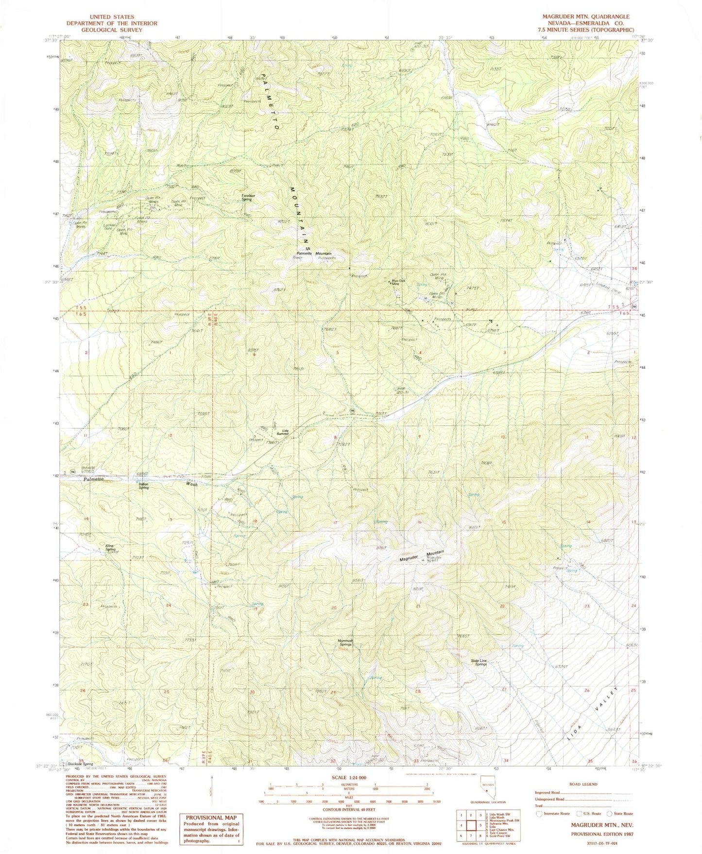
Classic USGS Magruder Mountain Nevada 7.5'x7.5' Topo Map
Couldn't load pickup availability
Historical USGS topographic quad map of Magruder Mountain in the state of Nevada. Map scale may vary for some years, but is generally around 1:24,000. Print size is approximately 24" x 27"
This quadrangle is in the following counties: Esmeralda.
The map contains contour lines, roads, rivers, towns, and lakes. Printed on high-quality waterproof paper with UV fade-resistant inks, and shipped rolled.
Contains the following named places: Blue Dick Mine, Buster Mine, Champion Mine, Excelsior Spring, Indian Spring, Kentucky Mine, Kline Spring, Lida Summit, Magruder Mountain, Mammoth Springs, Mattmueller Mine, Nevada Silver State Mine, New York Mine, Palmetto Mining District, Palmetto Mountain, Palmetto Mountains, State Line Springs, Virginia Mine