MyTopo
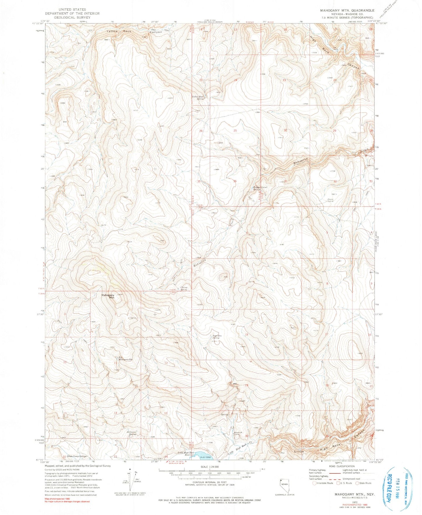
Classic USGS Mahogany Mountain Nevada 7.5'x7.5' Topo Map
Regular price
$16.95
Regular price
Sale price
$16.95
Unit price
per
Couldn't load pickup availability
Historical USGS topographic quad map of Mahogany Mountain in the state of Nevada. Map scale may vary for some years, but is generally around 1:24,000. Print size is approximately 24" x 27"
This quadrangle is in the following counties: Washoe.
The map contains contour lines, roads, rivers, towns, and lakes. Printed on high-quality waterproof paper with UV fade-resistant inks, and shipped rolled.
Contains the following named places: Al Owens Spring, Big Mahogany Reservoir, Brush Corral, Cherry Spring, Denio Camp Springs, Hog Ranch Creek, Little High Rock Mountains, Mahogany Mountain, Pappys Corral, Pappys Corral Spring, Sage Hen Spring, Woodruff Camp, Yellow Rock Spring