MyTopo
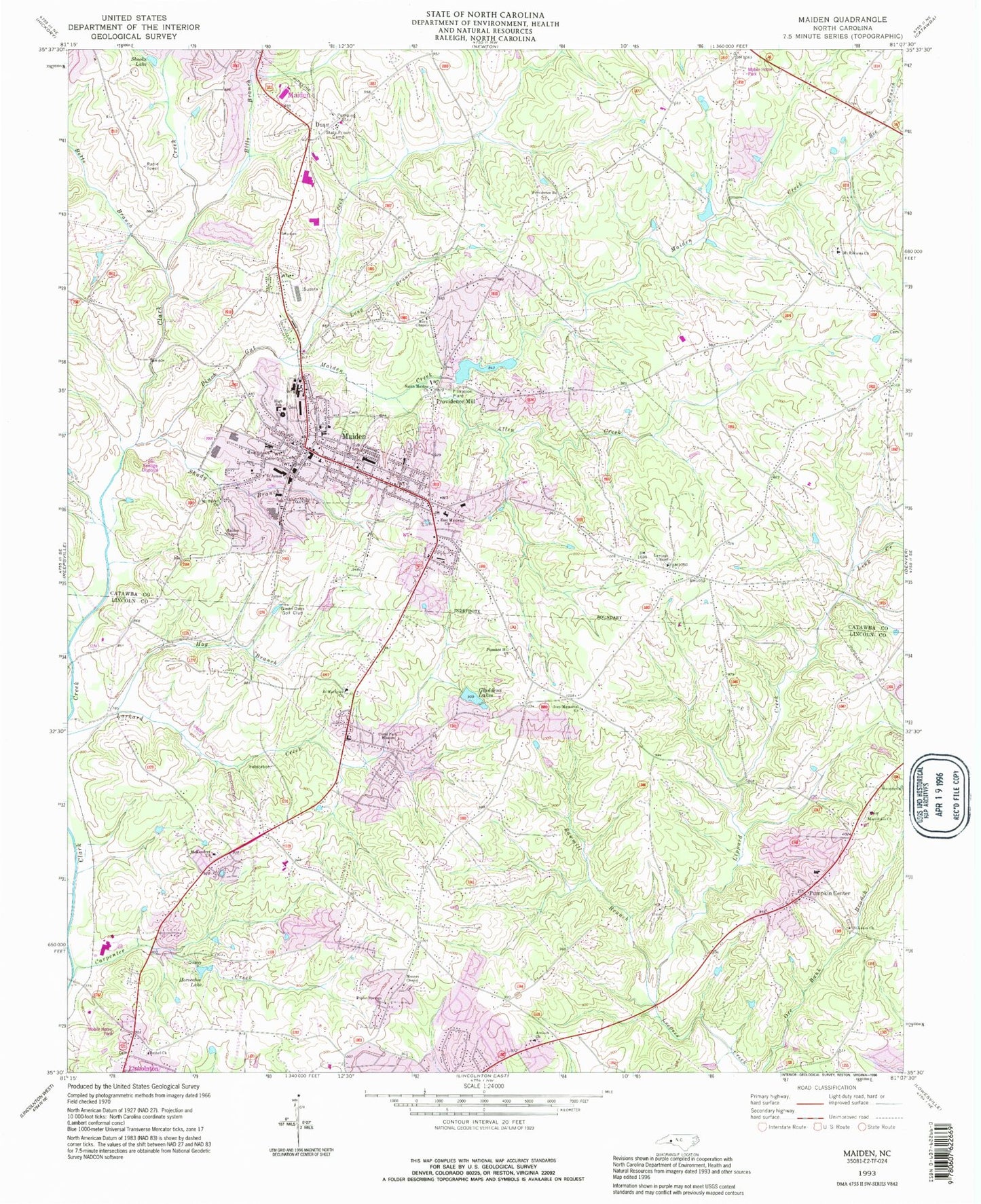
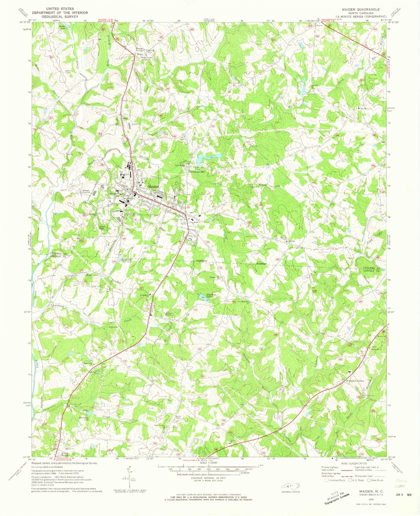
Classic USGS Maiden North Carolina 7.5'x7.5' Topo Map
Couldn't load pickup availability
Historical USGS topographic quad map of Maiden in the state of North Carolina. Map scale may vary for some years, but is generally around 1:24,000. Print size is approximately 24" x 27"
This quadrangle is in the following counties: Catawba, Lincoln.
The map contains contour lines, roads, rivers, towns, and lakes. Printed on high-quality waterproof paper with UV fade-resistant inks, and shipped rolled.
Contains the following named places: Allen Creek, Antioch Church, Antioch Church Cemetery, Bandy's Crossroads Volunteer Fire Department Station 9 Base 2, Bee Branch, Bethel Church, Betts Branch, Bills Branch, Catawba Correctional Center, Coral Park Baptist Church, Duan, East Maiden Church, Gladdens Lake, Glenn Oaks Golf Club, Hog Branch, Horseshoe Lake, Ivey Memorial Church, Knolls Association Dam, Knolls Association Lake, Lawings Chapel, Link Creek, Lippard Creek, Long Branch, Macedonia Church, Maiden, Maiden Chapel, Maiden Creek, Maiden Elementary School, Maiden Fire Department Station 10, Maiden High School, Maiden Police Department, Maiden Post Office, Maiden Rescue Squad, Maiden Water Plant Lake, Maiden Water Plant Lake Dam, Mays Chapel, Mc Kendree Church, McKendree Church Cemetery, Moores Chapel, Mount Oliver Church, Mount Ruhama Church, North 321 Volunteer Fire Department, North Maided Church, Pinch Gut Creek, Pleasant Hill Church, Poplar Springs Church, Poplar Springs Church Cemetery, Providence Mill, Providence Road Church, Pumpkin Center, Saint James Church, Saint Lukes Church, Saint Mathews Church, Sawmill Branch, Shady Branch, Shooks Lake, Town of Maiden, Township of Caldwell, West Side Church, ZIP Code: 28650


