MyTopo
Classic USGS Mailbox Hill Montana 7.5'x7.5' Topo Map
Regular price
$16.95
Regular price
Sale price
$16.95
Unit price
per
Couldn't load pickup availability
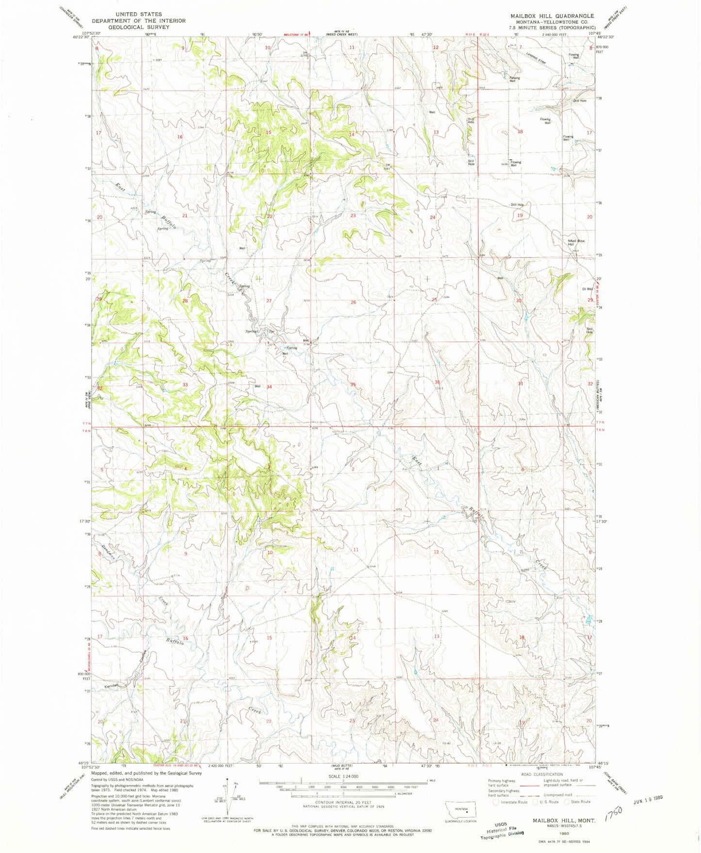
Historical USGS topographic quad map of Mailbox Hill in the state of Montana. Map scale may vary for some years, but is generally around 1:24,000. Print size is approximately 24" x 27"
This quadrangle is in the following counties: Yellowstone.
The map contains contour lines, roads, rivers, towns, and lakes. Printed on high-quality waterproof paper with UV fade-resistant inks, and shipped rolled.
Contains the following named places: 06N31E01CADB01 Well, 06N31E02BBAA01 Well, 06N31E13CAAC01 Well, 06N31E14BACD01 Well, 06N31E14DBAC01 Well, 07N32E17C___01 Well, 08N31E09CCCC01 Well, 59024, Deadman Creek, Kendall Coulee, Mail Box Hill