MyTopo
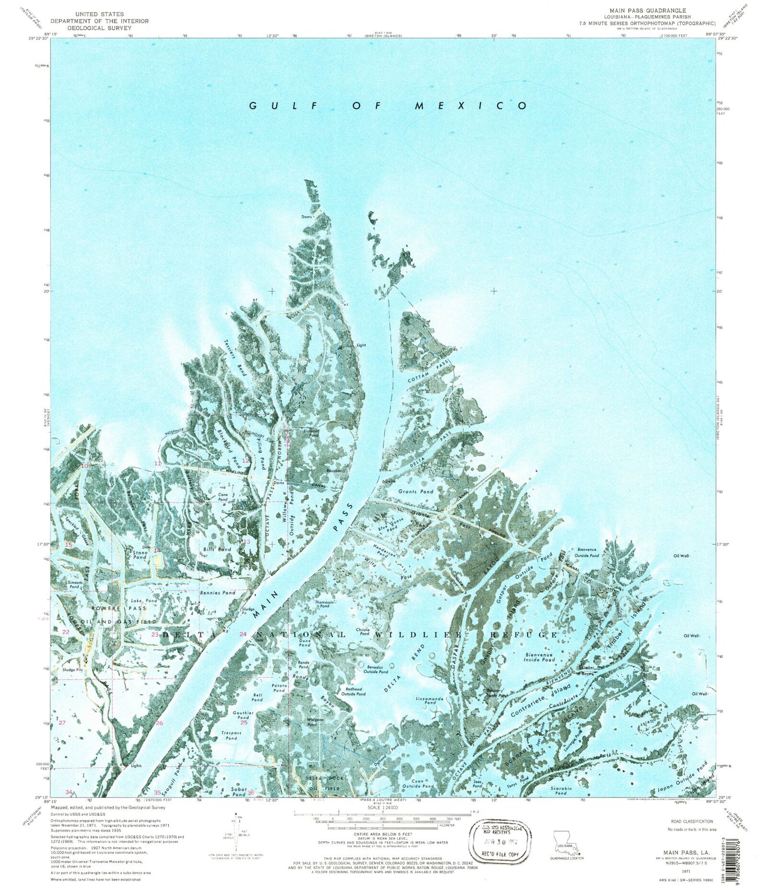
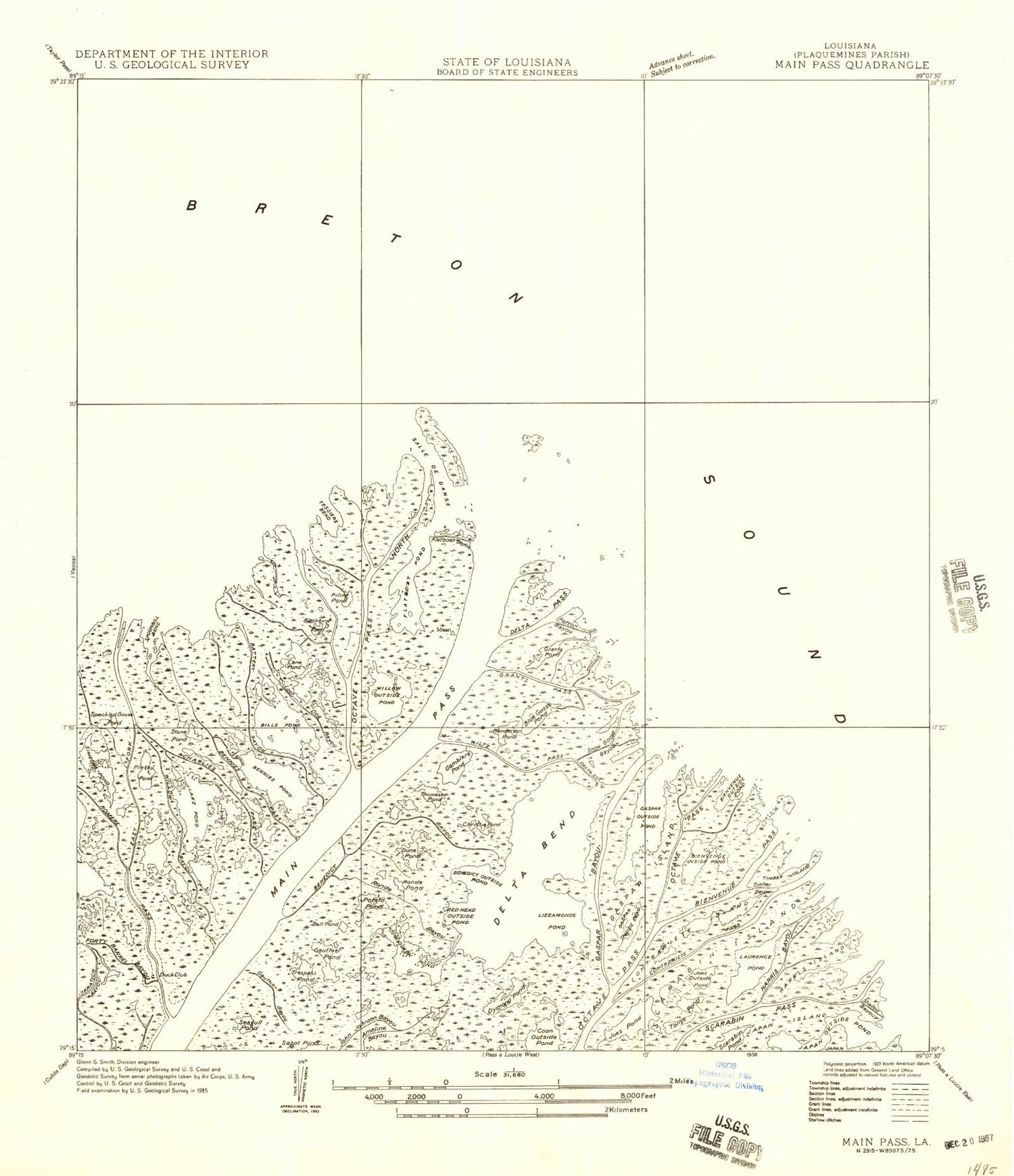
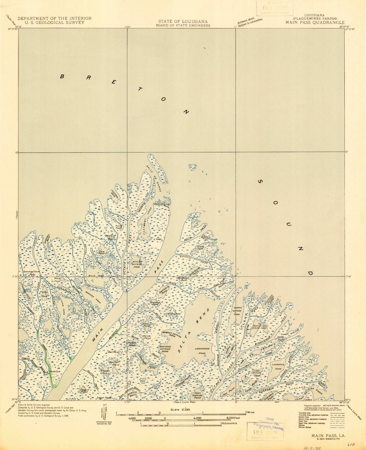
Classic USGS Main Pass Louisiana 7.5'x7.5' Topo Map
Couldn't load pickup availability
Historical USGS topographic quad map of Main Pass in the state of Louisiana. Map scale may vary for some years, but is generally around 1:24,000. Print size is approximately 24" x 27"
This quadrangle is in the following counties: Plaquemines.
The map contains contour lines, roads, rivers, towns, and lakes. Printed on high-quality waterproof paper with UV fade-resistant inks, and shipped rolled.
Contains the following named places: Battery Bayou, Bell Pond, Benedict Bayou, Benedict Outside Pond, Bennies Pass, Bennies Pond, Bienvenue Inside Pond, Bienvenue Outside Pond, Bienvenue Pass, Bills Pond, Blackbird Pond, Blue Goose Pond, Cane Pond, Charlies Pass, Christie Pond, Contrariete Island, Contrariete Pass, Coon Outside Pond, Cottam Pass, Delta Bend, Delta Cut, Delta Pass, Dune Pond, Dymond Pond, East Fork, Flatboat Bayou, Flatboat Pond, Gaspar Bayou, Gaspar Inside Pond, Gaspar Island, Gaspar Outside Pond, Gauthier Pond, Grants Pass, Grants Pond, Harris Island, Henderson Pond, Japan Outside Pond, Joes Outside Pond, Joes Pond, Lake Pond, Laurence Pond, Lizzamonde Pond, Main Pass, Octave Pass, Octave Pass North, Piling Pond, Pintail Pond, Potato Pond, Redhead Outside Pond, Romere Pass, Romere Pass Oil and Gas Field, Romere Pass Seaplane Base, Ronde Bayou, Ronde Pond, Scarabin Island, Scarabin Pass, Scarabin Pond, Simeons Pond, Snow Goose Bayou, Speckled Goose Pond, Spoonbill Bend, Stone Pond, Tessiers Bend, Thomassin Pond, Timber Bayou, Timber Island, Tonys Pond, Trespass Pond, Widgeon Pond, Willow Bayou, Willow Outside Pond, Wiltz Pass


