MyTopo
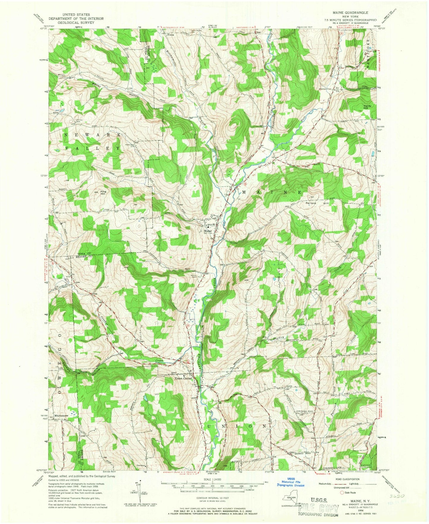
Classic USGS Maine New York 7.5'x7.5' Topo Map
Couldn't load pickup availability
Historical USGS topographic quad map of Maine in the state of New York. Map scale may vary for some years, but is generally around 1:24,000. Print size is approximately 24" x 27"
This quadrangle is in the following counties: Broome, Tioga.
The map contains contour lines, roads, rivers, towns, and lakes. Printed on high-quality waterproof paper with UV fade-resistant inks, and shipped rolled.
Contains the following named places: Allentown Cemetery, Bailey Hollow, Berean Church, Bradley Creek, Broas Family Cemetery, Chrysler Road Cemetery, Cornell Hollow, Crocker Creek, Crocker Creek Buffalo Farm, East Branch Nanticoke Creek, Endwell Fire Department Station 3, Endwell Greens Golf Club, Endwell Junior High School, First Baptist Church of Maine, Hardy Hill, Hollenbeck Cemetery, Holy Rosary Church, Ingalls School, Ketchumville Branch, Ketchumville State Forest, King Hill, Maine, Maine Cemetery, Maine Emergency Squad, Maine Federated Church, Maine Fire Company, Maine Mobile Park, Maine Post Office, Maine Town Hall, Maine-Endwell High School, Memorial School, Molyneaux Plantation, Nanticoke Valley Cemetery, Northminster Presbyterian Church, Oak Hill Cemetery, Oakwoods Mobile Home Court, Our Savior Church, Pine Valley Campsite, Pine Valley Recreational Vehicle Park and Campground, Pollard Hill, Quick Mobile Home Park, Tiona, Tiona Cemetery, Town of Maine, Town of Union, Twining Trailer Park, Union Center, Union Center Christian Church, Union Center Fire Company Station 1, Union Center Fire Company Station 2, Union Center United Methodist Church, Whittemore, Whittemore Hill Methodist Church, Zimmer Cemetery, ZIP Codes: 13760, 13790, 13802