MyTopo
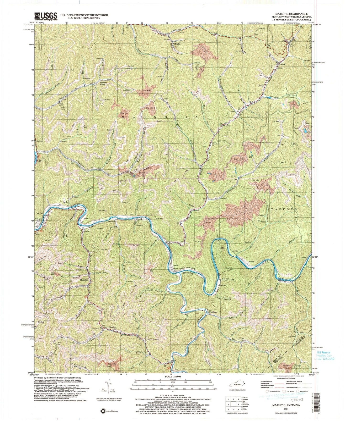
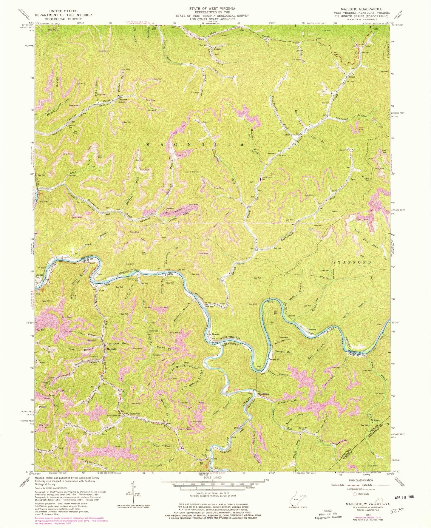
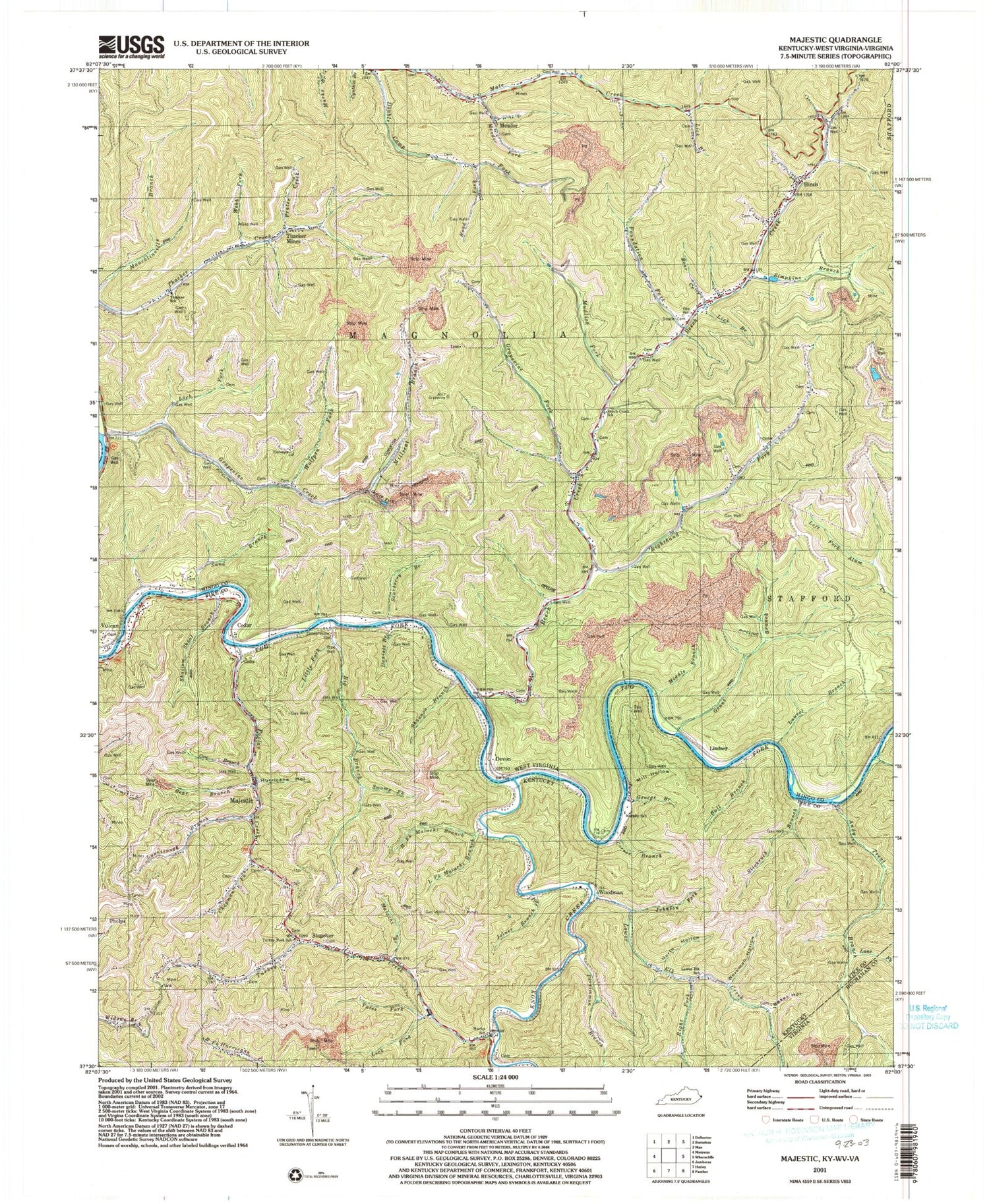
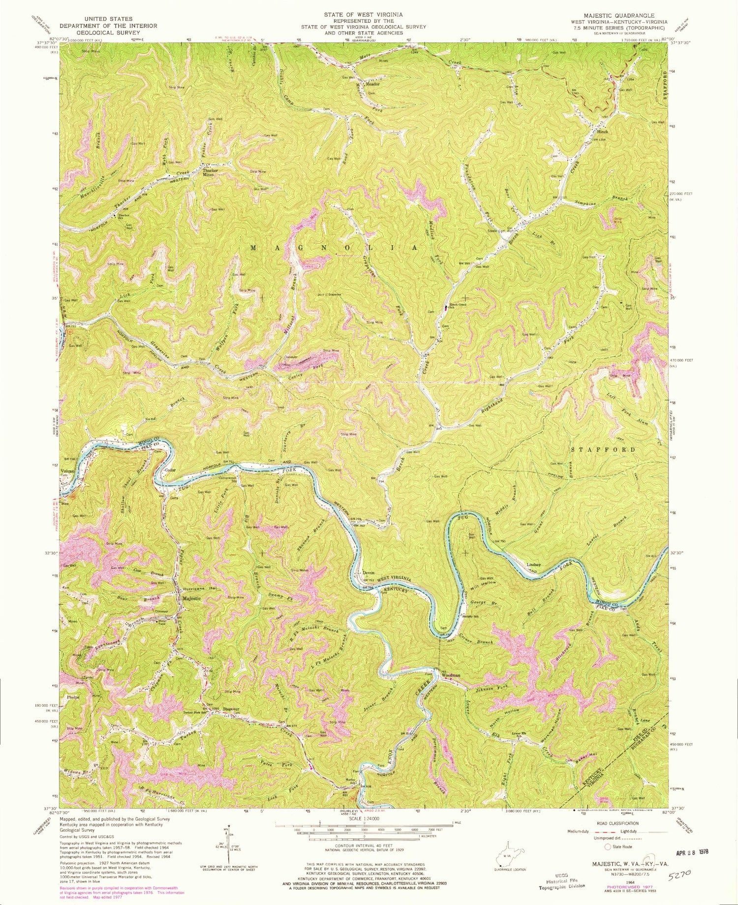
Classic USGS Majestic Kentucky 7.5'x7.5' Topo Map
Couldn't load pickup availability
Historical USGS topographic quad map of Majestic in the states of Kentucky, West Virginia. Map scale may vary for some years, but is generally around 1:24,000. Print size is approximately 24" x 27"
This quadrangle is in the following counties: Buchanan, Mingo, Pike.
The map contains contour lines, roads, rivers, towns, and lakes. Printed on high-quality waterproof paper with UV fade-resistant inks, and shipped rolled.
Contains the following named places: Andy Trent Branch, Baker Hollow, Bear Branch, Bear Creek, Beech Ben Mate District, Beech Creek, Beech Creek School, Beech Creek Volunteer Fire Department, Big Branch, Bull Branch, Cedar, Chapman Fork, Conley Fork, Corner Branch, Cow Branch, Daniels Branch, Devon, Foundation Fork, George Branch, Gibson Hollow, Grant Branch, Grapevine Creek, Grapevine Fork, Hinch, Hurley School, Hurricane Creek, Hurricane Hollow, Italy Hollow Cemetery, Johnson Fork, Joiner Branch, Knox Creek, Lane Fork, Laurel Branch, Left Fork Andy Trent Branch, Left Fork Malachi Branch, Lick Branch, Lick Fork, Lick Fork Siding, Lindsey, Little Fork, Lower Elk Creek, Lower Elk School, Lynntrough Branch, Magnolia District, Majestic, Majestic Post Office, Malachi Branch, Meador, Meador Fork, Middle Branch, Mill Hollow, Millseat Branch, Mouth of Popular School, Mudlick Fork, Murphy School, New Thacker, North Hollow, Persimmon Branch, Phelps Volunteer Fire Department Station 3, Poplar Creek, Pounding Mill Branch, Prater Creek, Right Fork Lower Elk Creek, Right Fork Malachi Branch, Righthand Fork Beech Creek, Righthand Fork School, Road Fork, Sand Branch, Scarberry Branch, Shallow Shoal Branch, Shannon Branch, Simkins Family Cemetery, Simpkins Branch, Simpkins School, Slickrock Branch, Steele Cemetery, Stopover, Stopover Post Office, Straight Fork, Sumpkins Branch, Swamp Fork, Thacker Mines, Thacker School, Turkey Creek, Turkey Fork School, Webb Fork, Wolfpen Fork, Woodman, Workman Hollow, Yates Fork, ZIP Codes: 25672, 25678, 25688, 41547


