MyTopo
Classic USGS Makalawena Hawaii 7.5'x7.5' Topo Map
Couldn't load pickup availability
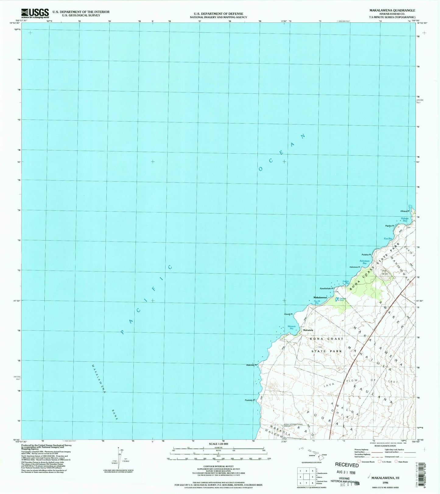
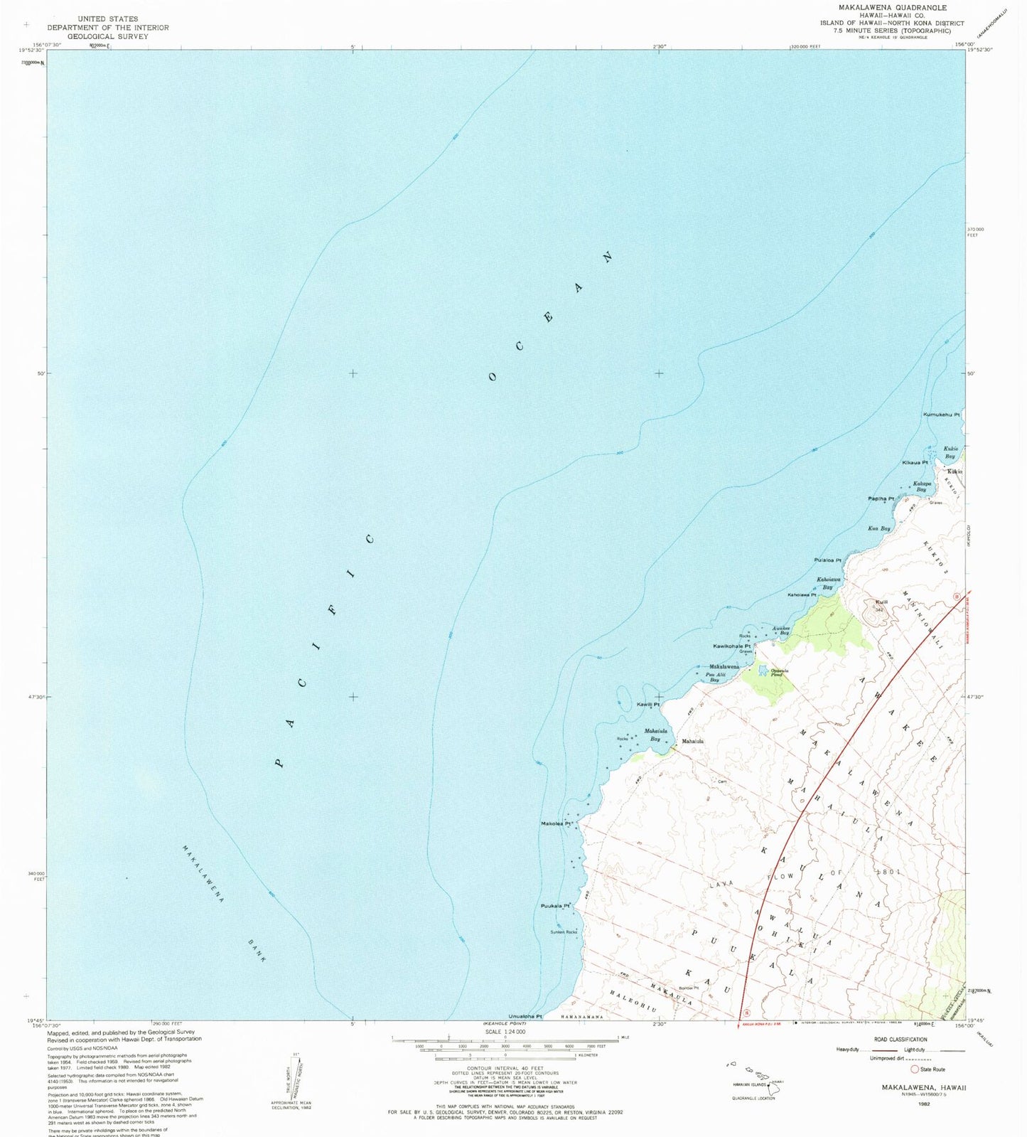
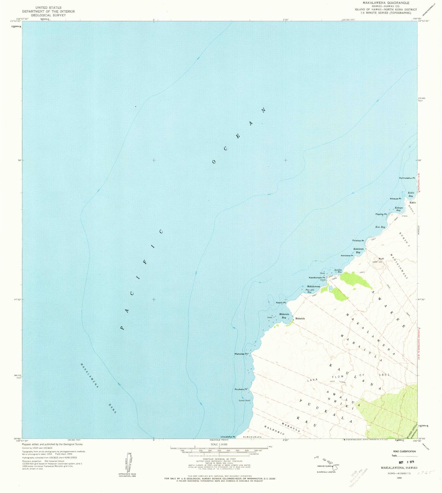
Historical USGS topographic quad map of Makalawena in the state of Hawaii. Map scale may vary for some years, but is generally around 1:24,000. Print size is approximately 24" x 27"
This quadrangle is in the following counties: Hawaii.
The map contains contour lines, roads, rivers, towns, and lakes. Printed on high-quality waterproof paper with UV fade-resistant inks, and shipped rolled.
Contains the following named places: Awakee, Awake'e Bay, Awalua Ohiki, Ka'elehuluhulu, Kahoiawa Bay, Kahoiawa Point, Kakapa Bay, Kaulana, Kawikohale Point, Kawili Point, Kikaua Point, Kona Coast State Park, Kua Bay, Kuili, Kuki'o Bay, Lava Flow of 1801, Mahaiula, Mahai'ula, Mahai'ula Bay, Mahai'ula Beach, Makalawena, Makalawena Bank, Makalawena Beach, Makole'a Beach, Makole'a Point, Manini'owali Beach, 'Opae'ula Pond, Papiha Point, Puialoa Point, Pu'uali'i Bay, Pu'uali'i Beach, Pu'ukala, Pu'ukala Point