MyTopo
Classic USGS Makaopuhi Crater Hawaii 7.5'x7.5' Topo Map
Couldn't load pickup availability
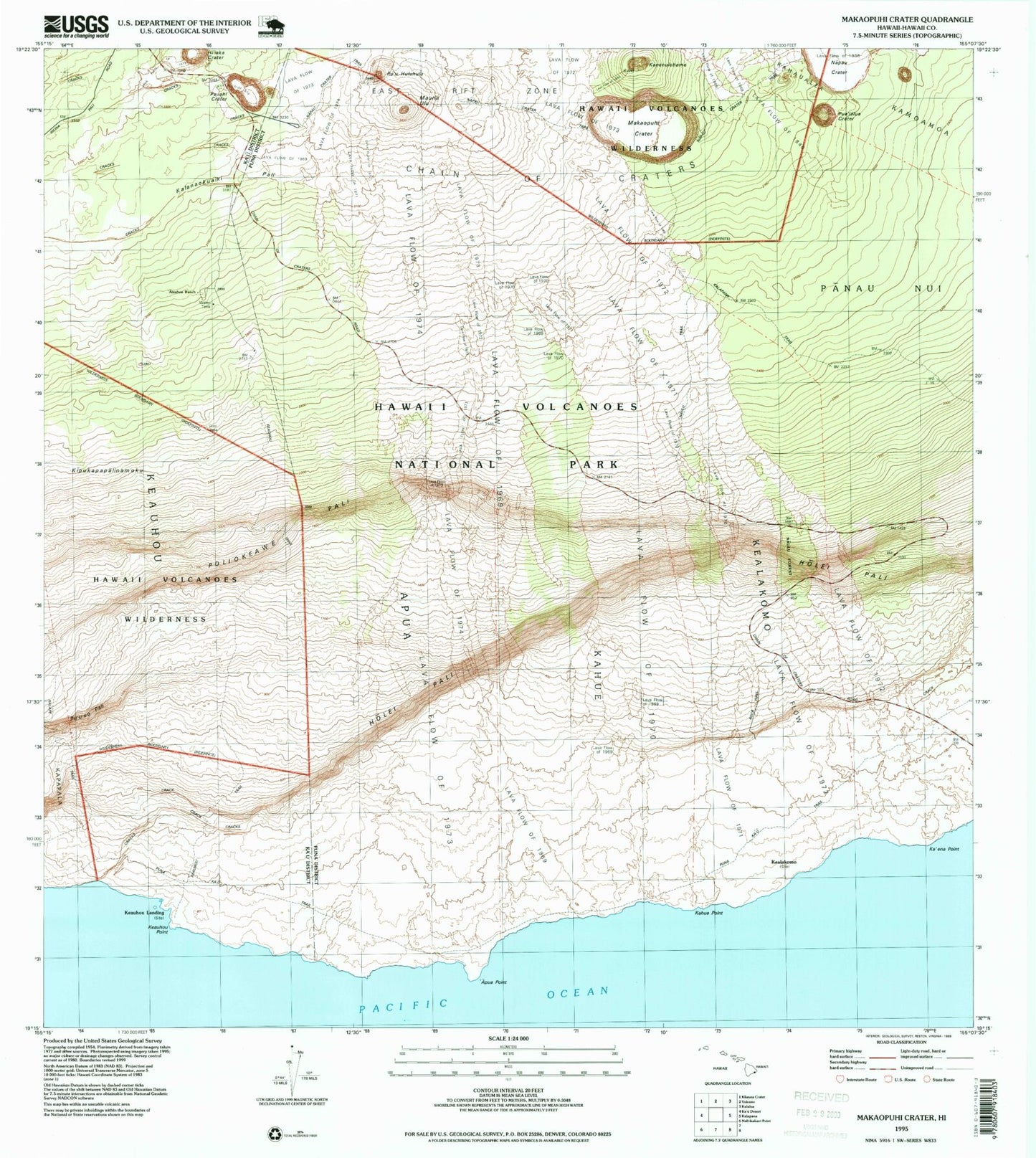
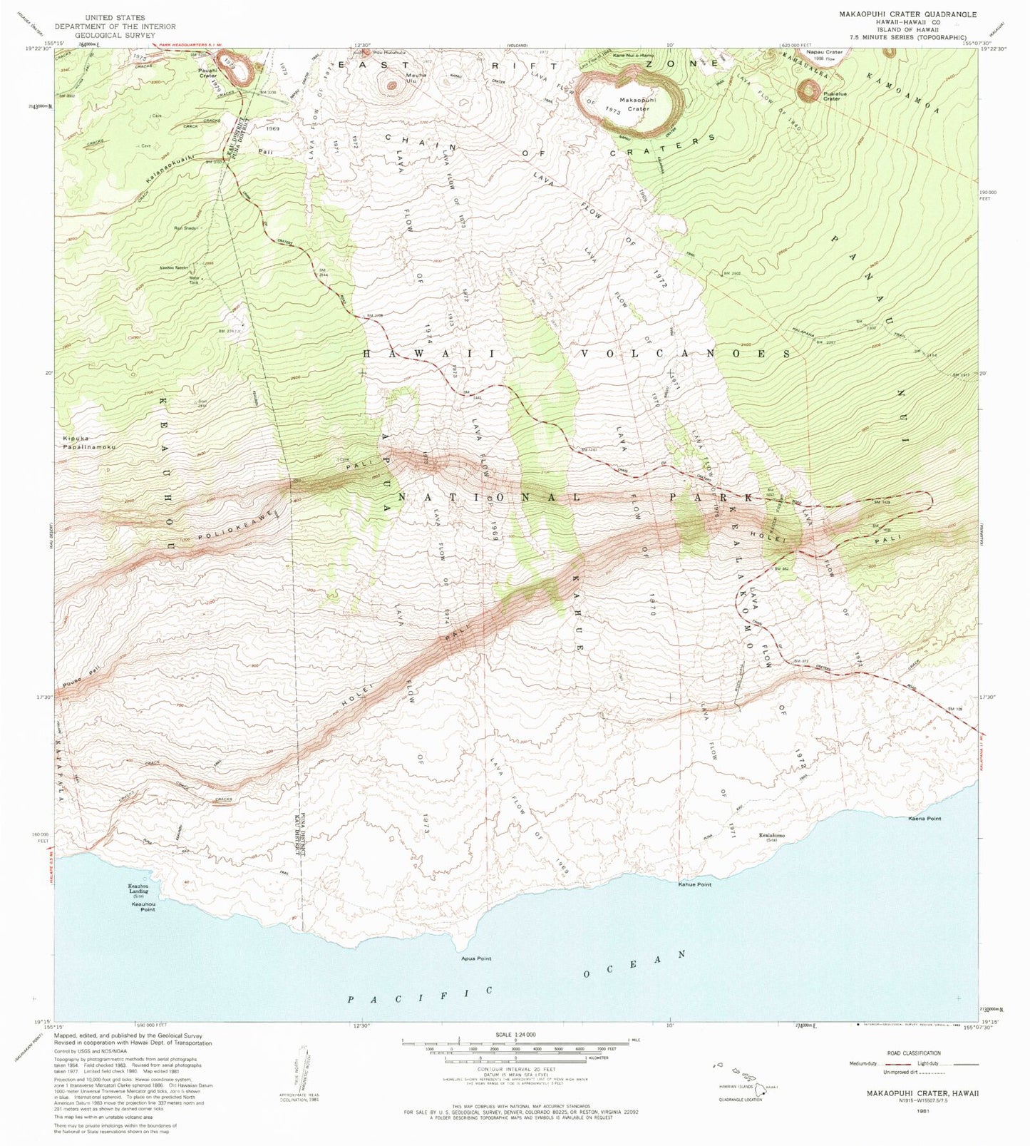
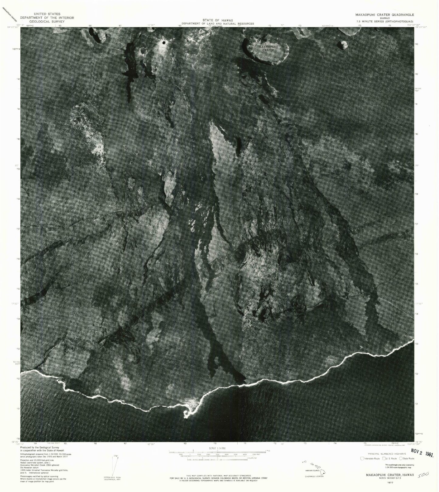
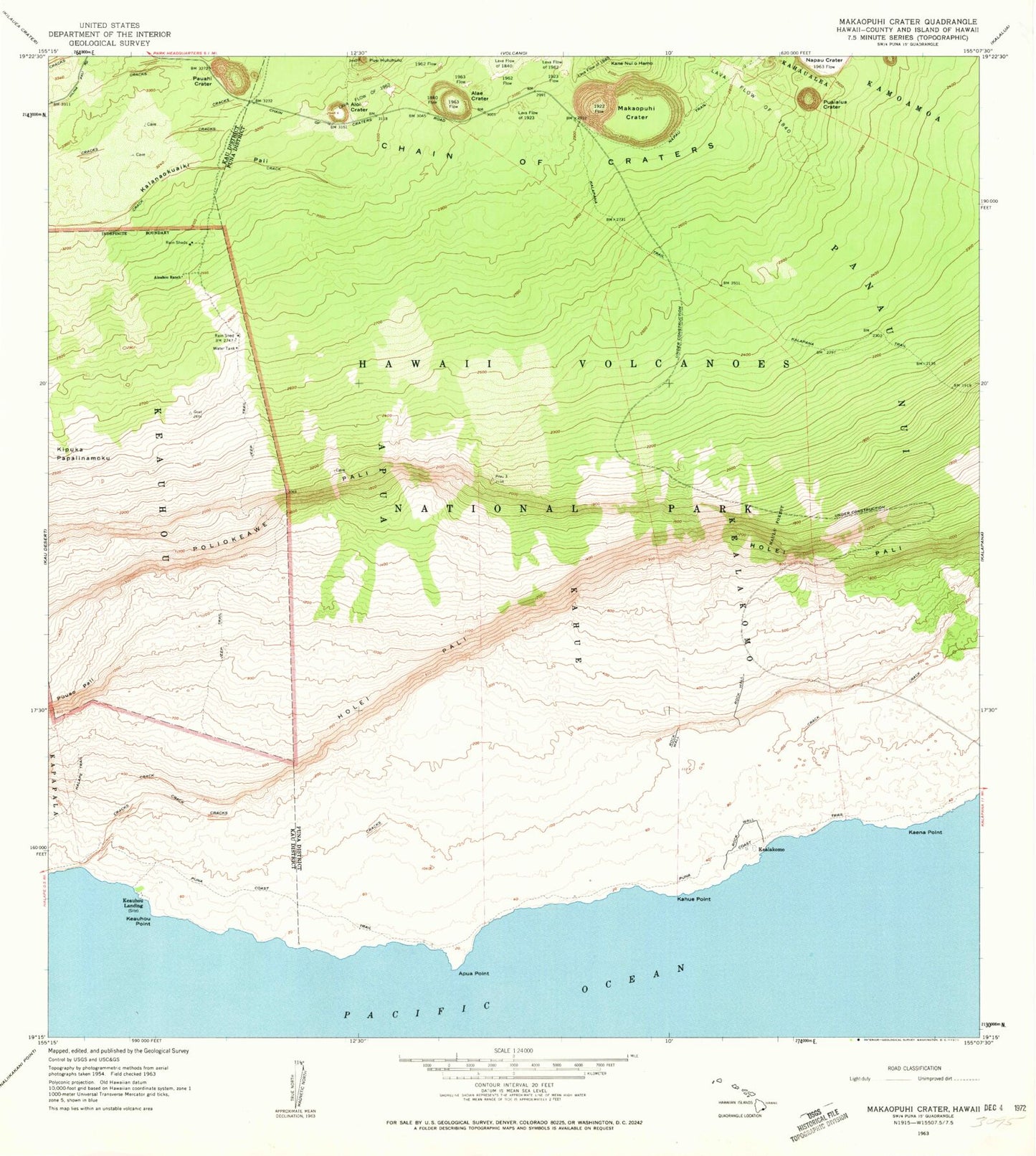
Historical USGS topographic quad map of Makaopuhi Crater in the state of Hawaii. Map scale may vary for some years, but is generally around 1:24,000. Print size is approximately 24" x 27"
This quadrangle is in the following counties: Hawaii.
The map contains contour lines, roads, rivers, towns, and lakes. Printed on high-quality waterproof paper with UV fade-resistant inks, and shipped rolled.
Contains the following named places: Ainahou Ranch, 'Alae Crater, Alanui Kahiko Overlook, 'Alo'i Crater, 'Apua, 'Apua Point, Chain of Craters, Halona Kahakai Overlook, Hi'iaka Crater, Holei Pali, Holei Pali Overlook, Ka'ena Point, Kahue, Kahue Point, Kanenuiohamo, Kealakomo, Keauhou Landing, Keauhou Point, Keauhou Shelter, Keauhou Trail, Kipuka Kahali'i Overlook, Kulanaokuaiki Pali, Lava Flow of 1840, Lava Flow of 1923, Lava Flow of 1968, Lava Flow of 1972, Makaopuhi Crater, Mau Loa o Maunaulu, Maunaulu, Maunaulu Lava Shield, Muliwai a Pele Overlook, Napau Crater, Napau Crater Trail, Naulu Forest, Naulu Trail, Panau Nui, Pauahi Crater, Poliokeawe Pali, Pua'ialua Crater, Puna Ka'u Trail, Pu'u'eo Pali, Pu'uhuluhulu