MyTopo
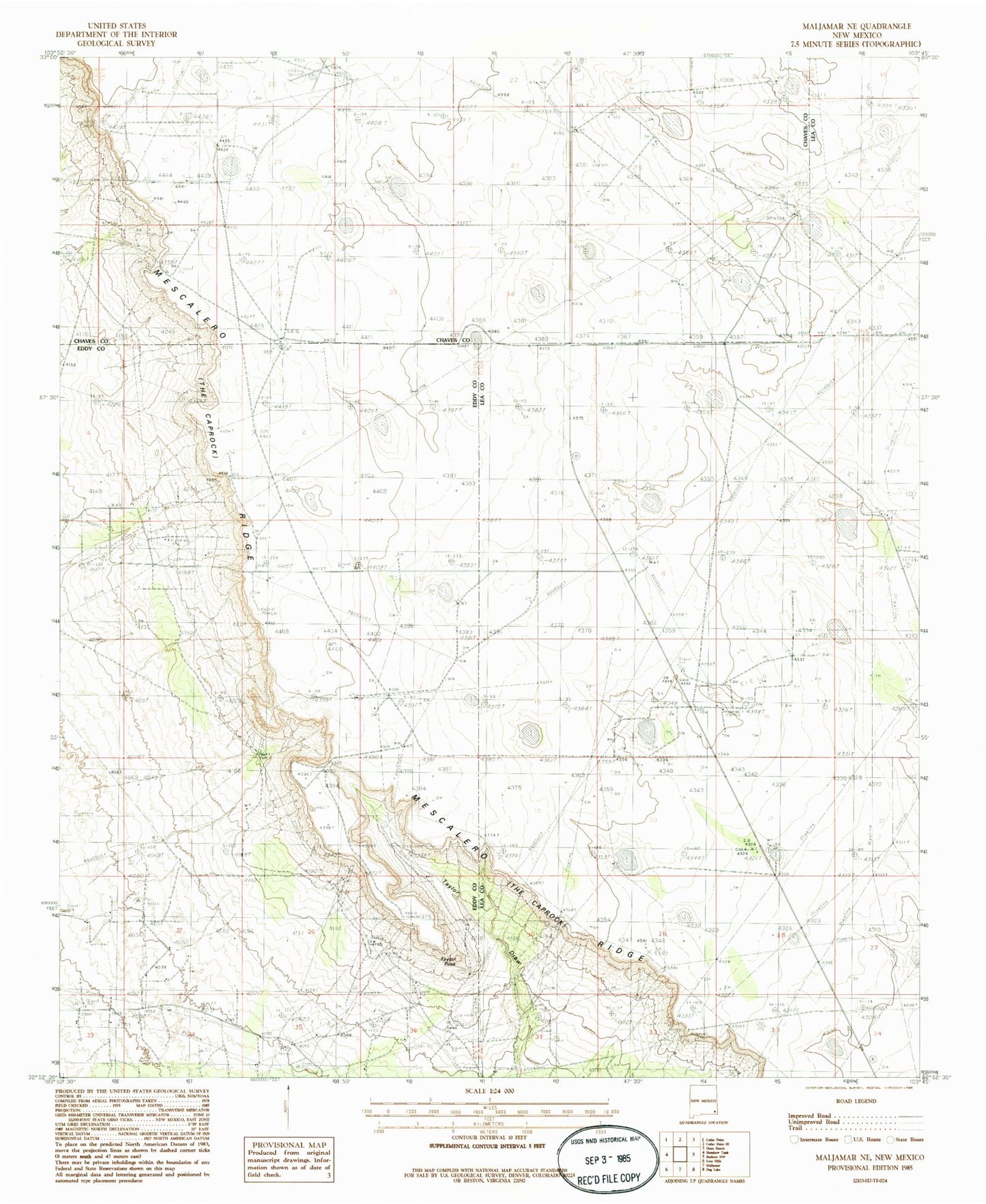
Classic USGS Maljamar NE New Mexico 7.5'x7.5' Topo Map
Couldn't load pickup availability
Historical USGS topographic quad map of Maljamar NE in the state of New Mexico. Map scale may vary for some years, but is generally around 1:24,000. Print size is approximately 24" x 27"
This quadrangle is in the following counties: Chaves, Eddy, Lea.
The map contains contour lines, roads, rivers, towns, and lakes. Printed on high-quality waterproof paper with UV fade-resistant inks, and shipped rolled.
Contains the following named places: 12355 Water Well, 12358 Water Well, 12360 Water Well, 12361 Water Well, 12758 Water Well, 13605 Water Well, Anderson Ranch, Bond Ranch, Four Bac Windmill, Holeman-Taylor Ranch, KMTH-FM (Maljamar), Liman Windmill, Lone Well, New Fletcher Well, Old Fletcher Well, Old Ranch Windmill, Pipeline Windmill, Robinson Oil Field, South Caprock Oil Field, Taylor Peak, West Anderson Oil Field