MyTopo
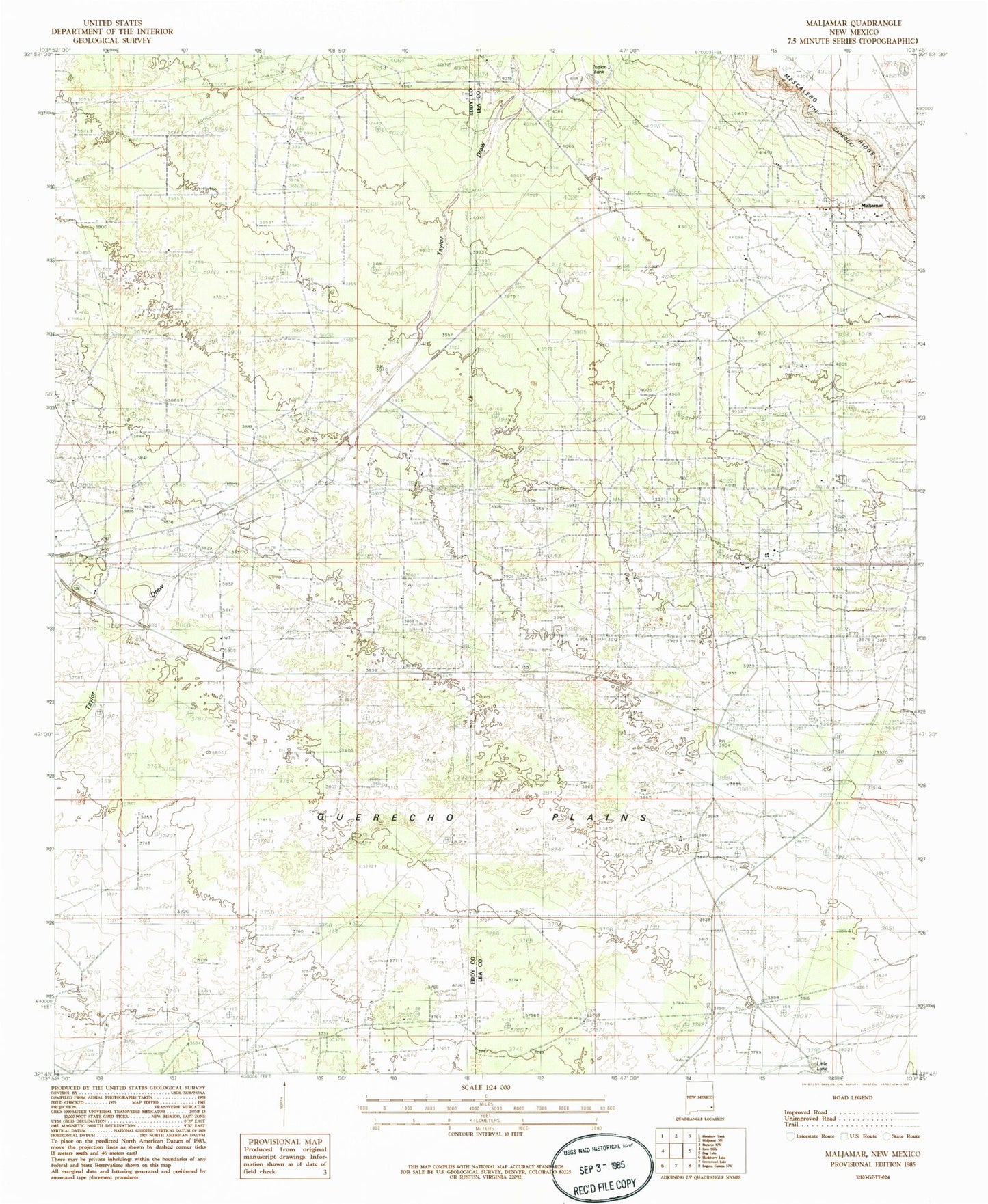
Classic USGS Maljamar New Mexico 7.5'x7.5' Topo Map
Couldn't load pickup availability
Historical USGS topographic quad map of Maljamar in the state of New Mexico. Map scale may vary for some years, but is generally around 1:24,000. Print size is approximately 24" x 27"
This quadrangle is in the following counties: Eddy, Lea.
The map contains contour lines, roads, rivers, towns, and lakes. Printed on high-quality waterproof paper with UV fade-resistant inks, and shipped rolled.
Contains the following named places: Baish Oil Field, Banish Oil Well Number One Historic Site, Burro Tanks Site, Highway Well, Little Lake, Maljamar, Maljamar Post Office, Maljamar Volunteer Fire Department, Maljamar Weather Station, North Maljamar Oil Field, North Shugart Oil Field, Taylor Draw, Taylor Peak Site, Young Oil Field