
MyTopo
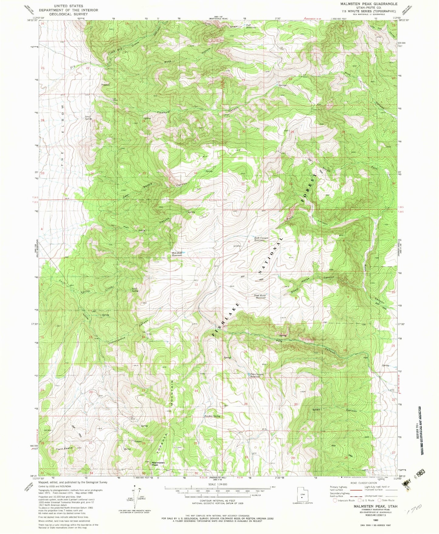
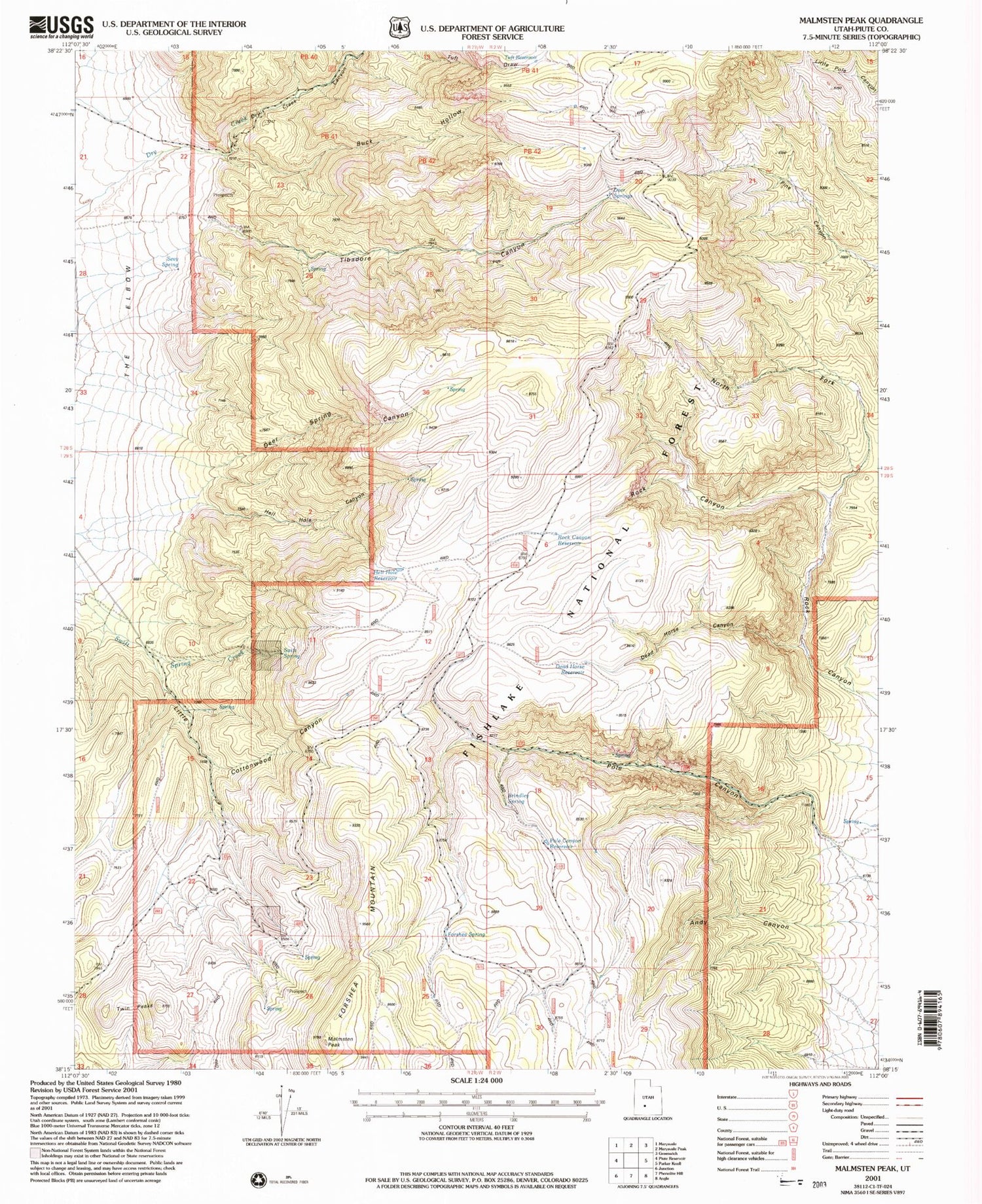
Classic USGS Malmsten Peak Utah 7.5'x7.5' Topo Map
Couldn't load pickup availability
Historical USGS topographic quad map of Malmsten Peak in the state of Utah. Map scale may vary for some years, but is generally around 1:24,000. Print size is approximately 24" x 27"
This quadrangle is in the following counties: Piute.
The map contains contour lines, roads, rivers, towns, and lakes. Printed on high-quality waterproof paper with UV fade-resistant inks, and shipped rolled.
Contains the following named places: Brindley Spring, Buck Hollow, Circleville Division, Dead Horse Canyon, Dead Horse Reservoir, Deer Spring Canyon, Deer Springs, Dry Creek Canyon, Forshea Mountain, Forshea Pasture, Forshea Spring, Forshea Trough, Hell Hole Canyon, Hell Hole Reservoir, Little Cottonwood Canyon, Malmsten Peak, North Fork Rock Canyon, Pole Canyon Reservoir, Rock Canyon Reservoir, Sevy Spring, Swift Spring, Tibadore Canyon, Tuft Reservoir, Twin Peaks