MyTopo
Classic USGS Malone Bay Michigan 7.5'x7.5' Topo Map
Couldn't load pickup availability
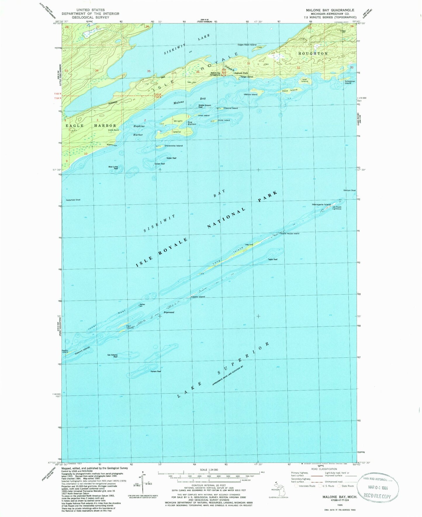
Historical USGS topographic quad map of Malone Bay in the state of Michigan. Map scale may vary for some years, but is generally around 1:24,000. Print size is approximately 24" x 27"
This quadrangle is in the following counties: Keweenaw.
The map contains contour lines, roads, rivers, towns, and lakes. Printed on high-quality waterproof paper with UV fade-resistant inks, and shipped rolled.
Contains the following named places: Bryersund, Castle Island, Channel Island, Crow Point, Doden Reef, Dog Harbor, Domen Reef, Eagle Nest Island, Harlem Reef, Hat Island, Hopkins Harbor, Inner Island, Inner Reef, Ishpeming Trail, Isle Royale Lighthouse, Isle Royale Natinal Park Post Office, Long Island, Malone Bay, Malone Bay Campground, Malone Island, Menagerie Island, Middle Ground Reef, Outer Island, Paul Islands, Redfin Island, Ross Island, San Antonio Reef, Schooner Island, Shiverette Island, Siskiwit Falls, Siskiwit Islands, Siskiwit River, Stone House Island, Taylor Reef, West Lump Reef, Wright Island