MyTopo
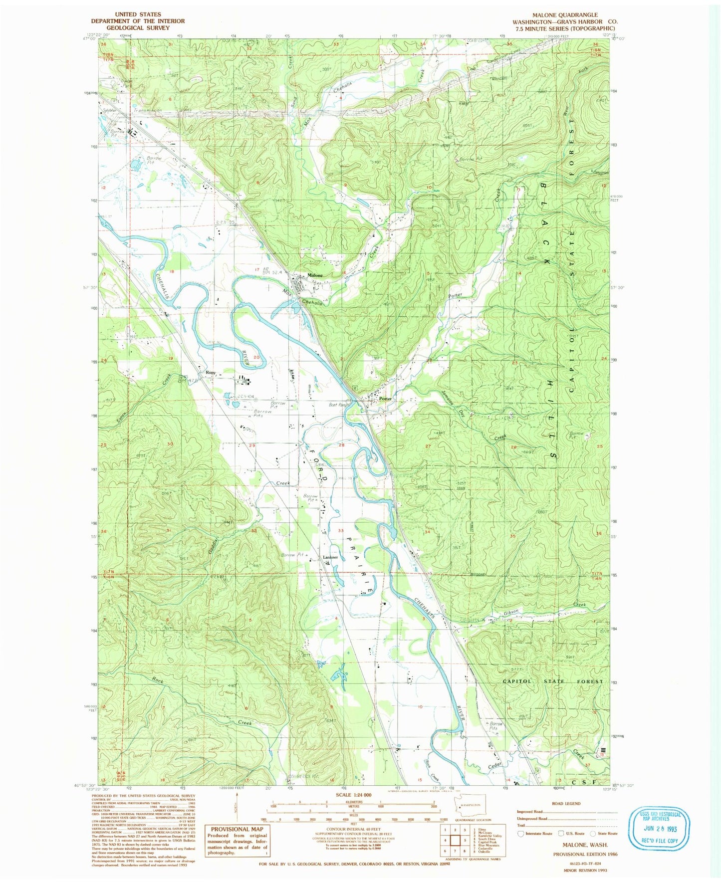
Classic USGS Malone Washington 7.5'x7.5' Topo Map
Couldn't load pickup availability
Historical USGS topographic quad map of Malone in the state of Washington. Map scale may vary for some years, but is generally around 1:24,000. Print size is approximately 24" x 27"
This quadrangle is in the following counties: Grays Harbor.
The map contains contour lines, roads, rivers, towns, and lakes. Printed on high-quality waterproof paper with UV fade-resistant inks, and shipped rolled.
Contains the following named places: Cedar Creek, Eaton Creek, Ford Prairie, Gaddis Creek, Gibson Creek, Grays Harbor Fire District 5 Station 52 Porter, Greenwood, Greenwood Mobile Home Park, Jamaica Day Creek, Lankner, Little Spur Truck Trail, Malone, Malone Assembly of God Church, Malone Census Designated Place, Malone Village Post Office, Malone-Porter Census Designated Place, Malone-Porter Division, Mox Chehalis Creek, Porter, Porter Census Designated Place, Porter Creek, Rock Creek, Rony, Sand Creek, Sharon Cemetery, Sharon Grange, Shelton Creek, West Fork Porter Creek, ZIP Code: 98559