MyTopo
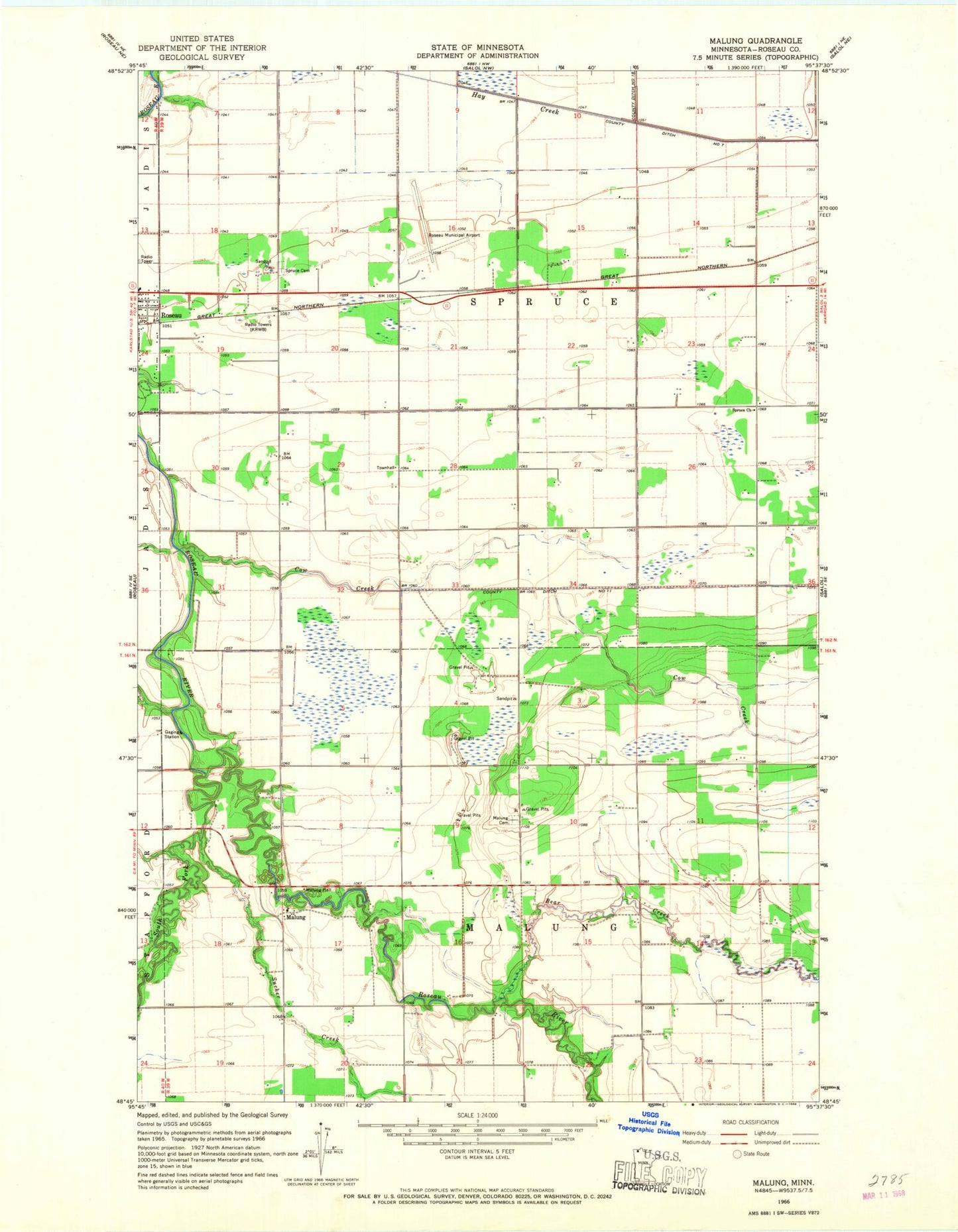
Classic USGS Malung Minnesota 7.5'x7.5' Topo Map
Couldn't load pickup availability
Historical USGS topographic quad map of Malung in the state of Minnesota. Map scale may vary for some years, but is generally around 1:24,000. Print size is approximately 24" x 27"
This quadrangle is in the following counties: Roseau.
The map contains contour lines, roads, rivers, towns, and lakes. Printed on high-quality waterproof paper with UV fade-resistant inks, and shipped rolled.
Contains the following named places: Bear Creek, County Ditch Number Eleven, Cow Creek, First Baptist Church, KRWB-AM (Roseau), Malung, Malung Cemetery, Malung Elementary School, Malung Hall, Malung Post Office, Mandus Post Office, Mandus Station, Mobile Court East, Roseau Community Church, Roseau Municipal Airport/Rudy Billberg Field, South Fork Roseau River, Spruce Cemetery, Spruce Church, Sucker Creek, Township of Malung, Township of Spruce, ZIP Code: 56751