MyTopo
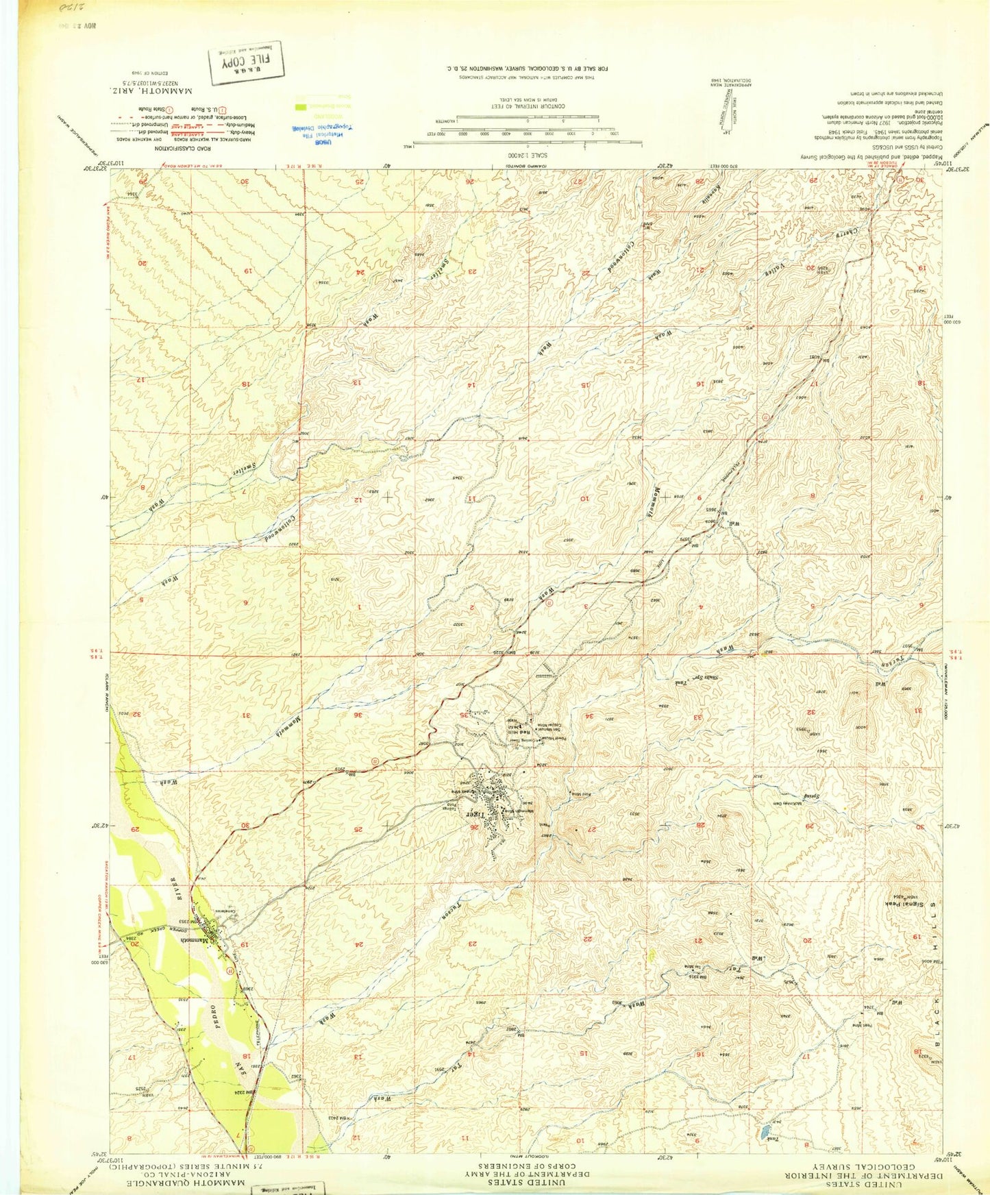
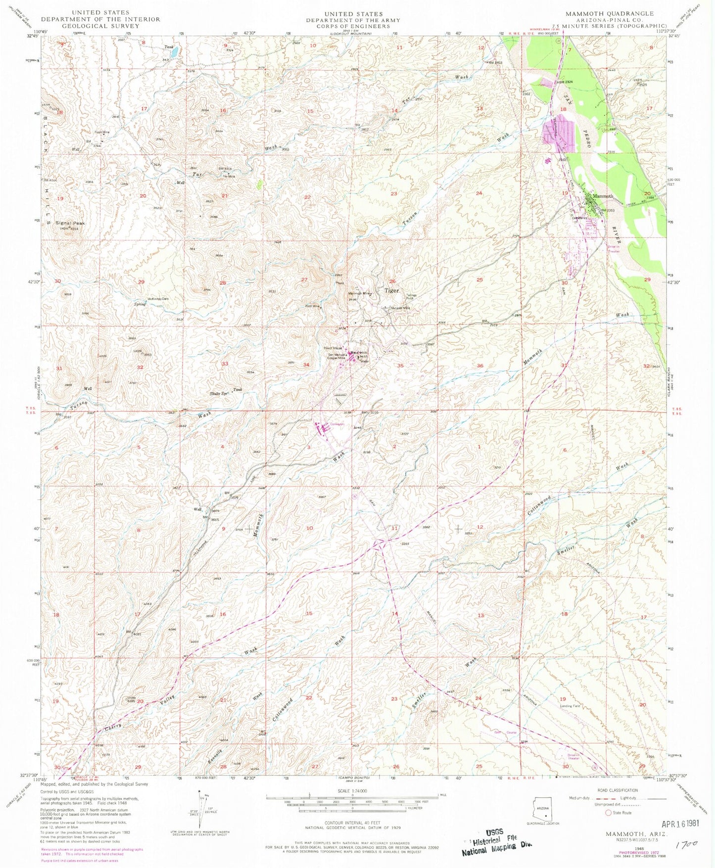
Classic USGS Mammoth Arizona 7.5'x7.5' Topo Map
Couldn't load pickup availability
Historical USGS topographic quad map of Mammoth in the state of Arizona. Map scale may vary for some years, but is generally around 1:24,000. Print size is approximately 24" x 27"
This quadrangle is in the following counties: Pinal.
The map contains contour lines, roads, rivers, towns, and lakes. Printed on high-quality waterproof paper with UV fade-resistant inks, and shipped rolled.
Contains the following named places: Black Hills, Blessed Sacrament Catholic Church, Cherry Valley Wash, Cielo Wastewater Treatment Plant, First Southern Baptist Church, Ford Mine, Fordville, Kannally Wash, Mammoth, Mammoth Assembly of God, Mammoth Community Center, Mammoth Elementary School, Mammoth Mine, Mammoth Police Department, Mammoth Post Office, Mammoth Public Library, Mammoth Softball Field Park, Mammoth Swimming Pool, Mammoth Valley View Cemetery, Mammoth Volunteer Fire Department, Mammoth Wash, McKinney Cemetery, McKinney Dam, Mohawk Mine, North Mammoth, Pearl Mine, Pinal County Health Department Mammoth Clinic, Red Hill, San Manuel Airport, San Manuel Copper Mine, San Manuel Country Club, Shultz Spring, Signal Peak, Sunward Mobile Home Park, Tar Mine, Tar Wash, Tiger, Town of Mammoth, Tucson Wash


