MyTopo
Classic USGS Mammoth Pennsylvania 7.5'x7.5' Topo Map
Couldn't load pickup availability
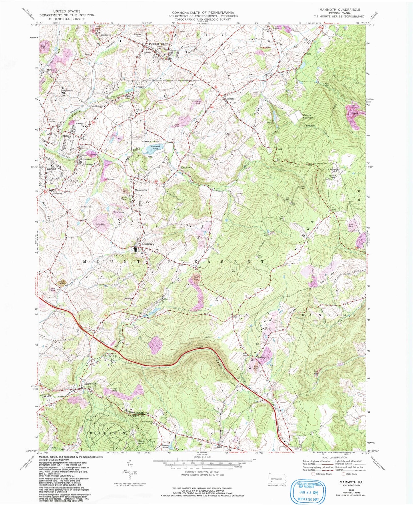
Historical USGS topographic quad map of Mammoth in the state of Pennsylvania. Map scale may vary for some years, but is generally around 1:24,000. Print size is approximately 24" x 27"
This quadrangle is in the following counties: Fayette, Westmoreland.
The map contains contour lines, roads, rivers, towns, and lakes. Printed on high-quality waterproof paper with UV fade-resistant inks, and shipped rolled.
Contains the following named places: Acme, Acme Lake, Acme Post Office, Alice, Bear Rocks Census Designated Place, Brothers Cemetery, Calumet, Calumet Census Designated Place, Calumet Volunteer Fire Department, Calumet-Norvelt Census Designated Place, County Reservoir, Fairview Church, Forest Lake, Forty Mourners Church, Franklin School, Humphreys, Humphreys Run, Hurst Junior High School, Immel Dam, Kecksburg, Kecksburg Volunteer Fire Department, Laurel Run, Laurel Run School, Laurelville, Loyalhanna Dam, Loyalhanna Lake, Lycippus, Mammoth, Mammoth Census Designated Place, Mammoth County Park, Mammoth Lake, Mammoth Lake Dam, Mammoth Post Office, Mutual, Mutual Aid Ambulance Service Pleasant Unity, Mutual Volunteer Fire Department, North Branch Sewickley Creek, Norvelt, Norvelt / Westmoreland Homesteads Volunteer Fire Department, Norvelt Census Designated Place, Norvelt Emergency Medical Services, Norvelt Golf Course, Norvelt Post Office, Oakdale School, Pa-657 Dam, Pleasant Unity, Pleasant Unity Post Office, Pleasant Unity Volunteer Fire Department, Porch Mine, Possum Hollow, Rodney, Rumbaugh, Saint Boniface Chapel, Saint Boniface Lookout Tower, Saint Florian School, Saint Lukes Cemetery, Saint Lukes Church, Saint Marys Church, Saint Pauls Church, Saint Stanislaus Church, Southerwood, Southerwood Church, Township of Mount Pleasant, Trauger, Trauger Volunteer Fire Department, United, United Post Office, Welty Run, Weltytown, Whitney Ridge Dam, Whitney School, ZIP Codes: 15610, 15621, 15676, 15689


