MyTopo
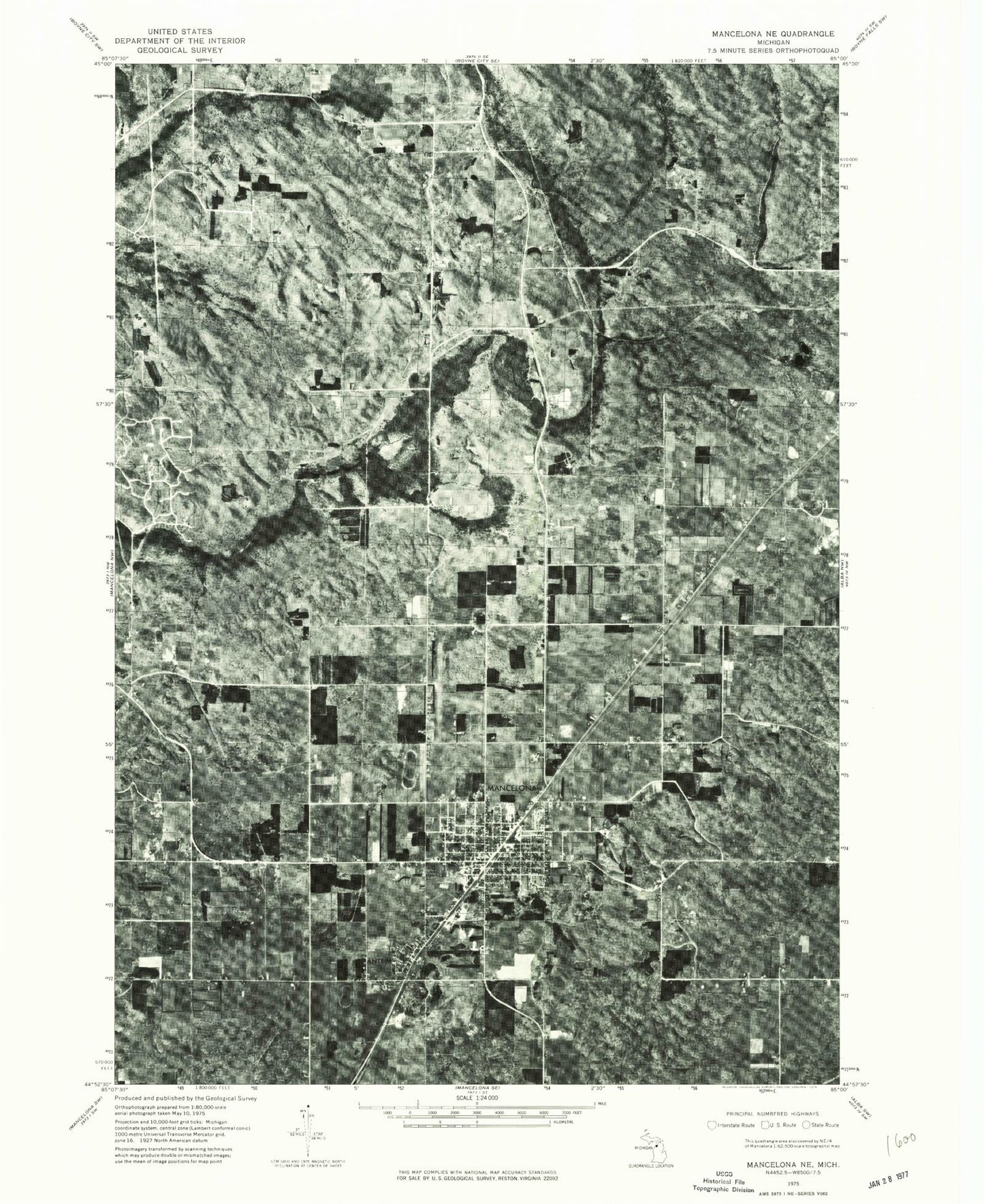
Classic USGS Mancelona Michigan 7.5'x7.5' Topo Map
Couldn't load pickup availability
Historical USGS topographic quad map of Mancelona in the state of Michigan. Map scale may vary for some years, but is generally around 1:24,000. Print size is approximately 24" x 27"
This quadrangle is in the following counties: Antrim.
The map contains contour lines, roads, rivers, towns, and lakes. Printed on high-quality waterproof paper with UV fade-resistant inks, and shipped rolled.
Contains the following named places: Antrim, Antrim Church of Christ, Bryden Cemetery, Chestonia Township Number Two Cemetery, Church of the Nazarene, Fairview Cemetery, Free Methodist Church, Green River, Green River Station, Greenriver Post Office, Johnson Pond, Kingdom Hall of Jehovah's Witnesses, Mancelona, Mancelona Area Historical Society Museum, Mancelona Baptist Church, Mancelona Elementary School, Mancelona Family Practice, Mancelona Fire District, Mancelona High School, Mancelona Middle School, Mancelona Municipal Airport, Mancelona Police Department, Mancelona Post Office, Mancelona Public Library, Mancelona Station, Mancelona United Methodist Church, Mancelona Village Hall, Mount Bundy, Nelson Lake, Palmer Park, Pathway Community Church, Peckham Lake, Railroad Park, Rapid River Campground, Sacred Heart Church, Saint Anthony Catholic Church, Saint Anthony Cemetery, Saint Matthews Lutheran Church, Satterly Lake, Scotts Spring, Tar Lake, Township Ambulance Authority, Township of Chestonia, Triangle Park, Village of Mancelona, Village of Wetzell Historical Marker, Wetzel, Wetzel Station, Wetzell Post Office, Whispering Pines Family Campgrounds, Windmill Farms Golf Course, ZIP Code: 49659


