MyTopo
Classic USGS Manchester Alabama 7.5'x7.5' Topo Map
Couldn't load pickup availability
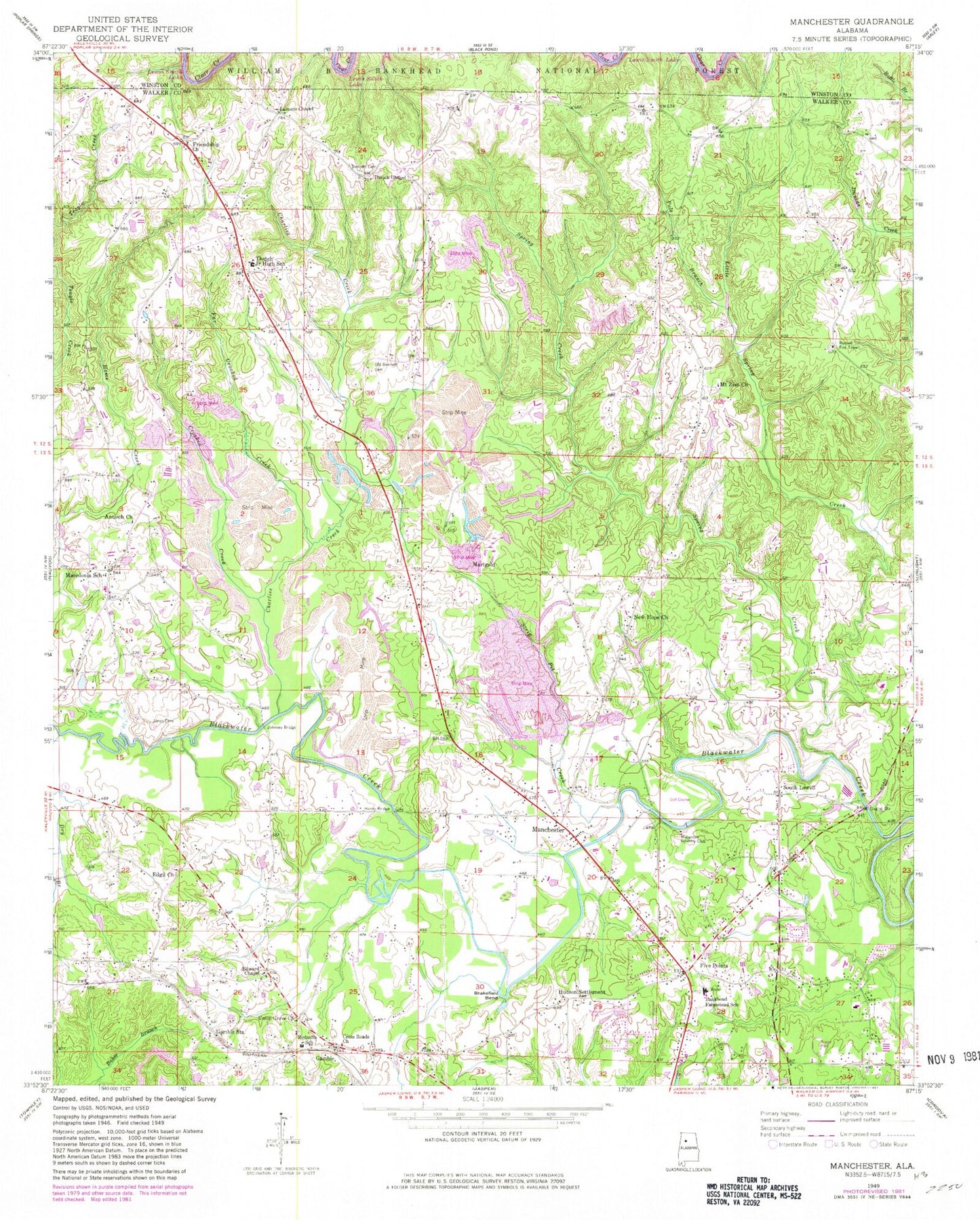
Historical USGS topographic quad map of Manchester in the state of Alabama. Map scale may vary for some years, but is generally around 1:24,000. Print size is approximately 24" x 27"
This quadrangle is in the following counties: Walker, Winston.
The map contains contour lines, roads, rivers, towns, and lakes. Printed on high-quality waterproof paper with UV fade-resistant inks, and shipped rolled.
Contains the following named places: Antioch Church, Bankhead Farmstead School, Bennett Cemetery, Bennett Chapel, Bennett Chapel Cemetery, Bennett Coal Bed Mine, Bennett School, Blackwater Macedonia Church of Christ, Brakefield Bend, Camak Mills, Cedar Valley Mine, Charlies Creek, Crooked Creek, Cross Roads Cemetery, Crossroads Church of Christ, Dry Creek, Edgil, Edgil Church, Edgil Grove Baptist Church Cemetery, Edward Chapel, Far Crooked Creek, Farmstead Baptist Church, Five Points, Friendship Church, Gaddy Cemetery, Gamble, Gamble Station, Glory Hill Church, Gods Church, Harmony Church, Harris Bridge, House of Prayer Church, Hudson Settlement, I AMS Temple, Jasper Gas Field, Johnsey Bridge, Jones Cemetery, Lamon Chapel Baptist Church, Little Spring Creek, Macedonia, Macedonia Number 5 Mine, Macedonia School, Mammouth Church, Manchester, Manchester Church, Manchester Division, Manchester Mine, Marigold, Marigold Mines, Mount Zion Church, Mount Zion Fire and Rescue, Mount Zion Volunteer Fire and Rescue, Musgrove Country Club, New Hope Church, New Jerusalem Church, New Zion Church, Pole Branch, Red Mill Junior High School, Russell Fire Tower, Shields Bridge, South Lowell, South Lowell Cemetery, Spring Creek, Strip Pit Creek, Thach, Thach Volunteer Fire Department, Thatch Chapel, Thatch Junior High School, Trinity Church, Twin Lakes Golf Course, Union Grove Church, Union Hill Church, Walker County Airport-Bevill Field, West Jasper Gas Field, ZIP Code: 35503


