MyTopo
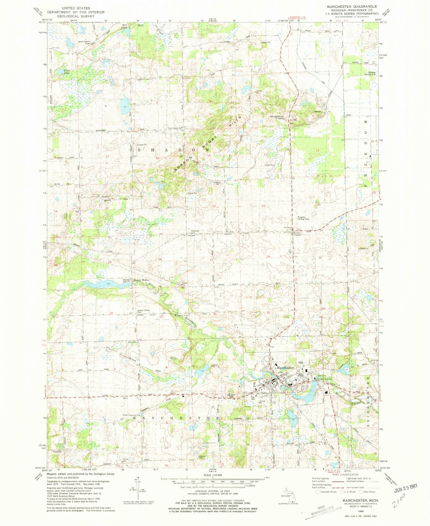
Classic USGS Manchester Michigan 7.5'x7.5' Topo Map
Couldn't load pickup availability
Historical USGS topographic quad map of Manchester in the state of Michigan. Map scale may vary for some years, but is generally around 1:24,000. Print size is approximately 24" x 27"
This quadrangle is in the following counties: Washtenaw.
The map contains contour lines, roads, rivers, towns, and lakes. Printed on high-quality waterproof paper with UV fade-resistant inks, and shipped rolled.
Contains the following named places: Blacksmith Shop Historical Marker, Carr Park, Chi-Bro Park, Craft School, Davider School, Dorr School, Emanuel United Church of Christ, Everett School, Faith Community Church, Fountain-Bessac House Historical Marker, Irwin School, James A Lynch House Historical Marker, Kirk Park, Klager Elementary School, Manchester, Manchester District Library, Manchester High School, Manchester Manor Mobile Home Park, Manchester Middle School, Manchester Police Department, Manchester Post Office, Manchester Station, Manchester Township Fire Department, Manchester Township Library Historical Marker, Mill Pond, Mynning Landing Strip, North Sharon Baptist Church, North Sharon Church, North Sharon School, Oak Grove Cemetery, Park Washtenaw of Sharon, Pierce School, Raymond Cemetery, Rossettie Airport, Rowes Corner, Rowes Corners Cemetery, Saint Mary Church Historical Marker, Saint Mary's Catholic Cemetery, Saint Mary's Church of Manchester, Salem Church Historical Marker, Sharon Church, Sharon Hill School, Sharon Hollow, Sharon Hollow Cemetery, Sharon Lutheran Cemetery, Sharon Mills Park, Sharon Post Office, Sharon Short Hills, Sharon Township Cemetery, Spafard School, The German Church Historical Marker, Tisch Lake, Township of Sharon, Victory Baptist Church, Village of Manchester, ZIP Code: 48158


