MyTopo
Classic USGS Manchester North Carolina 7.5'x7.5' Topo Map
Couldn't load pickup availability
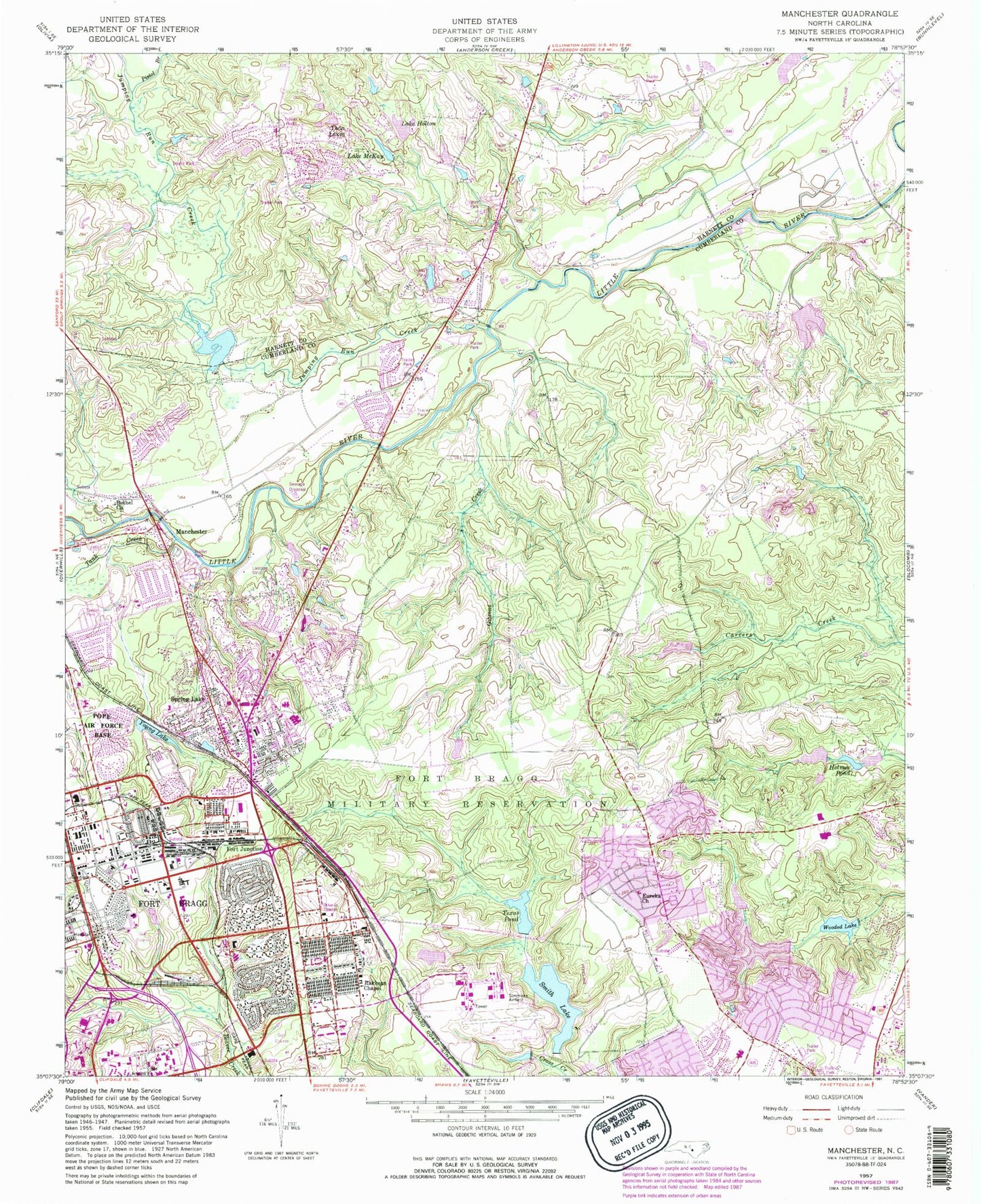
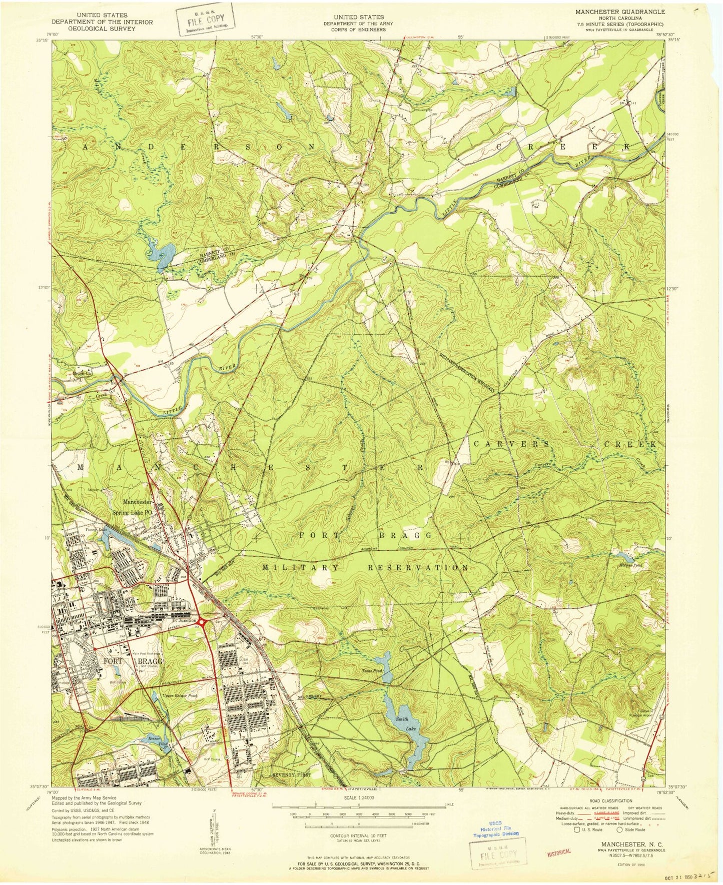
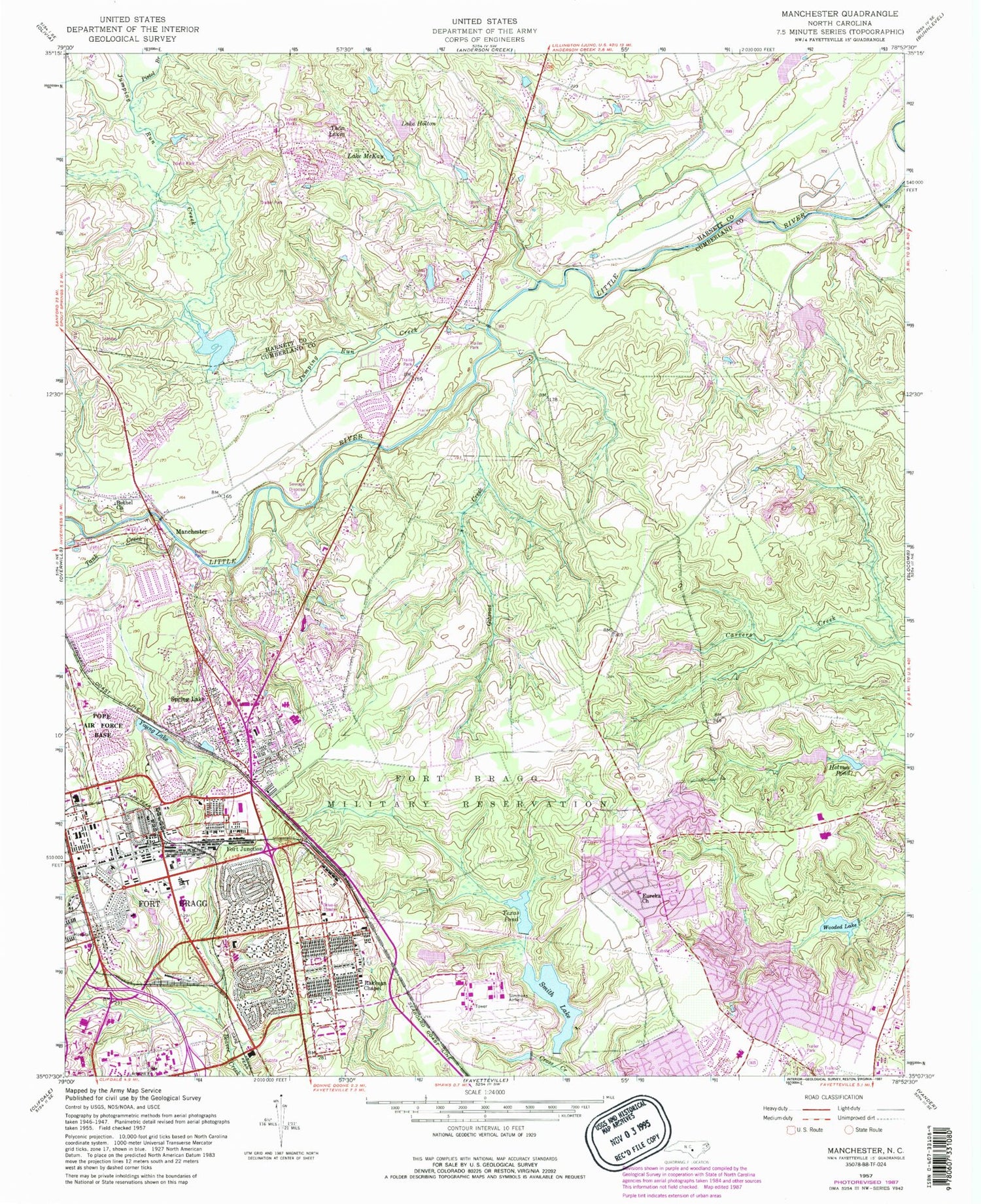
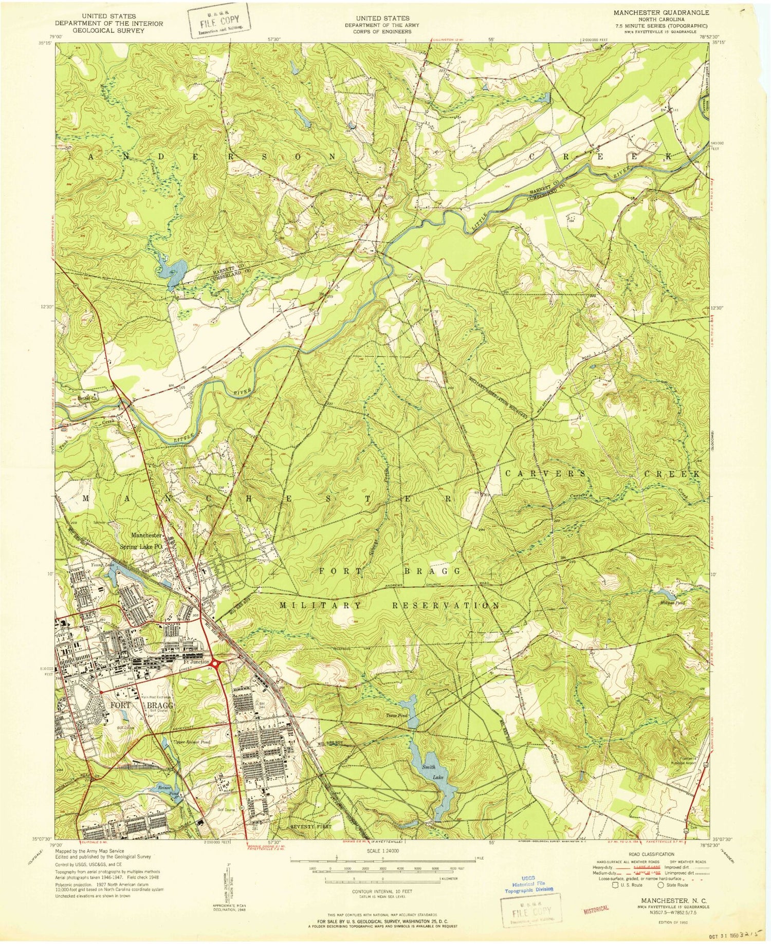
Historical USGS topographic quad map of Manchester in the state of North Carolina. Typical map scale is 1:24,000, but may vary for certain years, if available. Print size: 24" x 27"
This quadrangle is in the following counties: Cumberland, Harnett.
The map contains contour lines, roads, rivers, towns, and lakes. Printed on high-quality waterproof paper with UV fade-resistant inks, and shipped rolled.
Contains the following named places: Bethel Church, Eureka Church, Fort Junction, Gibsons Creek, Holmes Pond, Lake Holton, Jumping Run Creek, Lake McKay, Pistol Branch, Rakksan Chapel, Smith Lake, Tank Creek, Texas Pond, Wooded Lake, Young Lake, Smith Lake Dam, NC Noname One-Thousand Thirty-One Dam, Simmons Lake, Texas Pond Dam, Texas Lake, College Lake Dam, College Lake, Long Valley Farm Lake, Long Valley Farm Lake Dam, Lewis Lake, Lewis Lake Dam, Mitchells Pond, Mitchells Pond Dam, Eureka Springs, Woodbridge, Ascot II, Bastogne Gables, Normandy Heights, Anzio Acres, Casablanca, Bougainville, Corregidor, Bataan, Ardennes, College Lakes Elementary School, Howard L Hall Elementary School, Pine Forest Senior High School, WFBS-AM (Spring Lake), Manchester, Spring Lake, Twin Lakes, Town of Spring Lake, Spring Lake Fire Department, Fort Bragg Fire and Emergency Services Station 4, Fort Bragg Fire and Emergency Services Station 2, Fayetteville Fire Department Station 7, Fort Bragg Fire and Emergency Services Station 1, Simmons Army Airfield, Spring Lake Police Department, Sandhills State Veterans Cemetery, Fort Bragg Main Post Cemetary, Spring Lake Post Office, Fort Bragg Post Office, Fort Bragg Macomb Post Office


