MyTopo
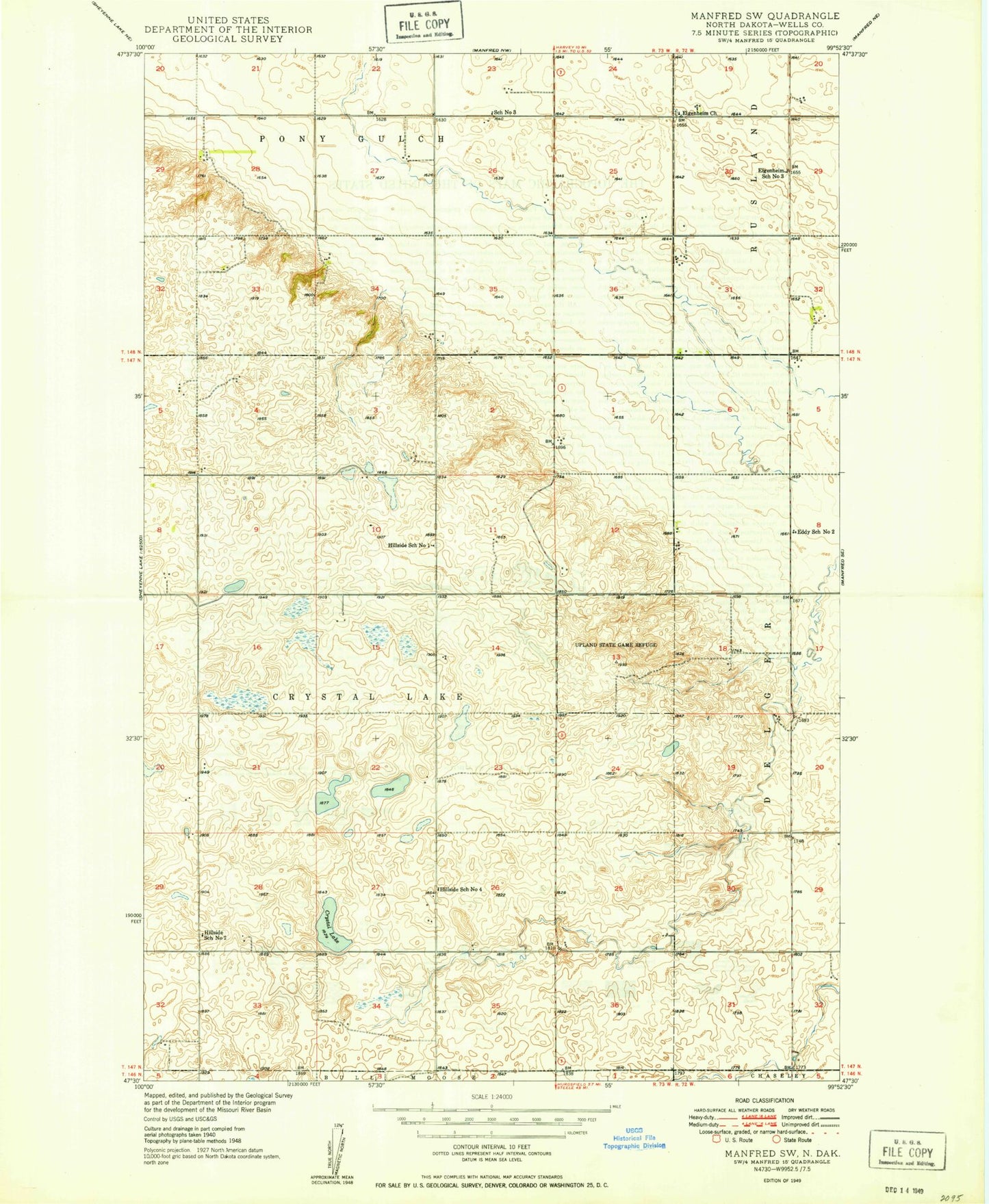
Classic USGS Manfred SW North Dakota 7.5'x7.5' Topo Map
Couldn't load pickup availability
Historical USGS topographic quad map of Manfred SW in the state of North Dakota. Map scale may vary for some years, but is generally around 1:24,000. Print size is approximately 24" x 27"
This quadrangle is in the following counties: Wells.
The map contains contour lines, roads, rivers, towns, and lakes. Printed on high-quality waterproof paper with UV fade-resistant inks, and shipped rolled.
Contains the following named places: Crystal Lake, Eddy School Number 2, Eigenheim Cemetery, Eigenheim Church, Eigenheim School Number 3, Faul-Mathison Dam, Hillside School Number 1, Hillside School Number 2, Hillside School Number 4, R Leep Strip Airport, School Number 3, Township of Crystal Lake, Upland State Game Refuge