MyTopo
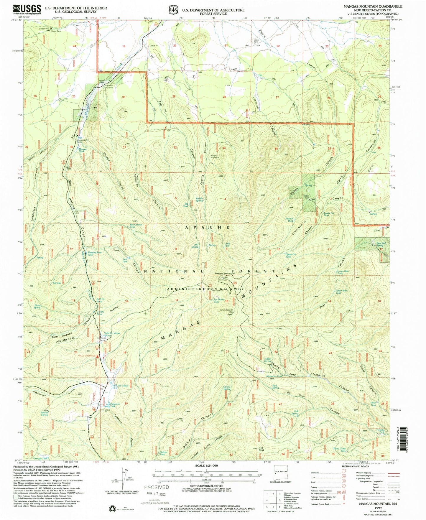
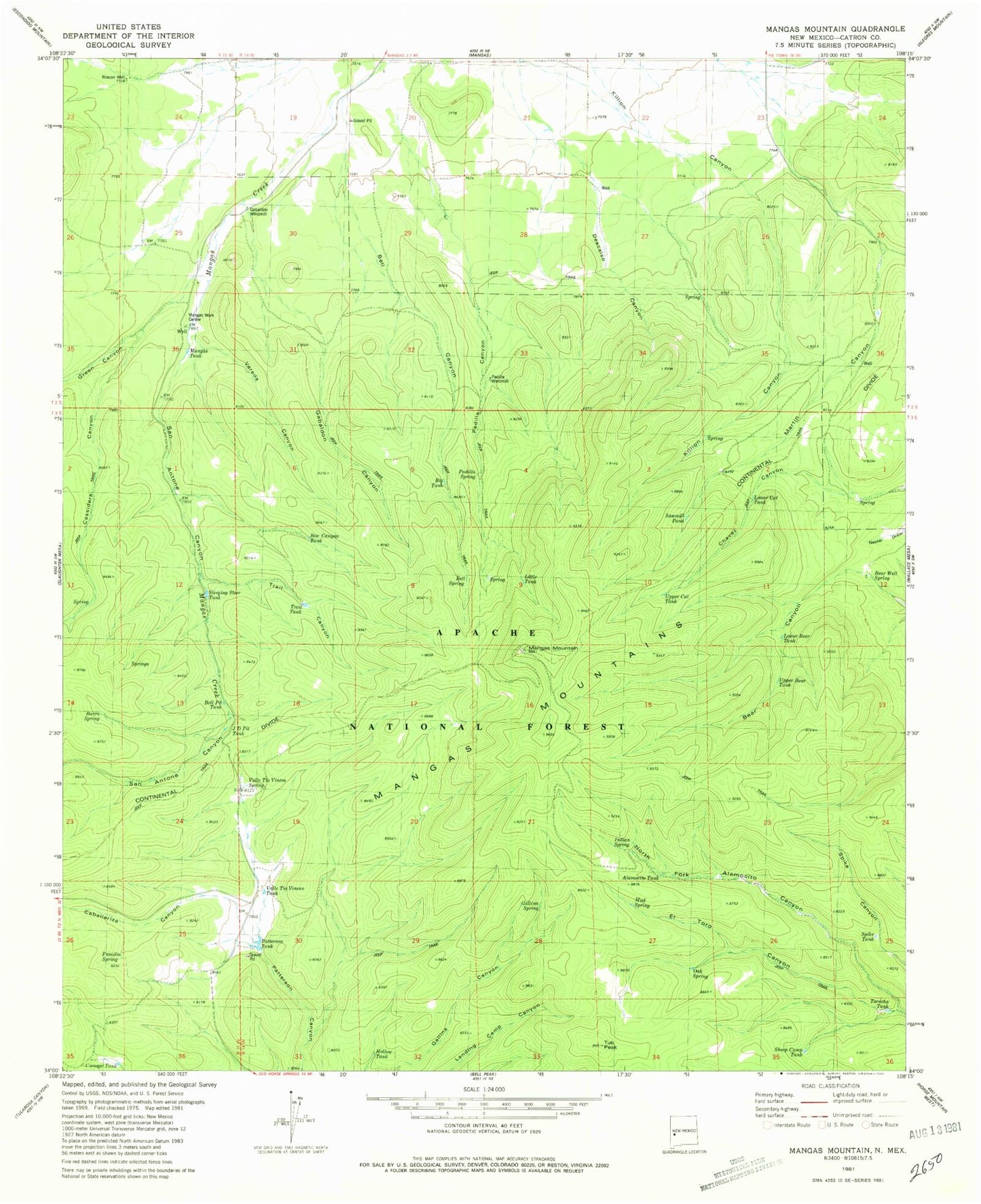
Classic USGS Mangas Mountain New Mexico 7.5'x7.5' Topo Map
Couldn't load pickup availability
Historical USGS topographic quad map of Mangas Mountain in the state of New Mexico. Typical map scale is 1:24,000, but may vary for certain years, if available. Print size: 24" x 27"
This quadrangle is in the following counties: Catron.
The map contains contour lines, roads, rivers, towns, and lakes. Printed on high-quality waterproof paper with UV fade-resistant inks, and shipped rolled.
Contains the following named places: Caballeriza, Mangas Mountain, Mangas Mountain Lookout Complex Historic Site, El Toro Canyon, Rincon Well, Mangas Tank, Caballeriza Canyon, San Antone Canyon, Gabaldon Windmill, Cassidera Canyon, Green Canyon, Bell Canyon, Vereda Canyon, Gabaldon Canyon, Padilla Windmill, Upper Bear Tank, Lower Bear Tank, Upper Cat Tank, Bear Well Spring, Lower Cat Tank, Big Tank, Little Tank, Bell Spring, Padilla Spring, Sleeping Steer Tank, Box Canyon Tank, Trail Tank, Spike Tank, Tordcha Tank, Sheep Camp Tank, Bell Pit Tank, J D Pit Tank, Burro Spring, Familia Spring, Cienaga Tank, Valle Tio Vinces Tank, Valle Tio Vinces Spring, Hollow Tank, Gallina Spring, Tub Peak, Mud Spring, Alamocito Tank, Indian Spring, Oak Spring, Padilla Canyon, Martin Canyon, Sawmill Pond, Mangas Work Center, Quemado Division, Patterson Tank


