MyTopo
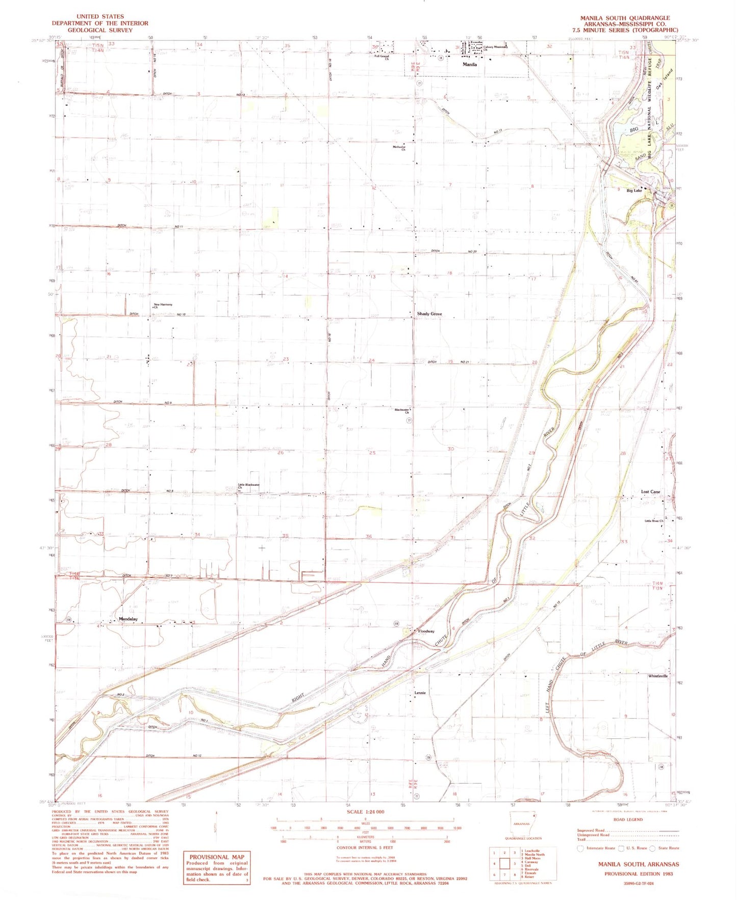
Classic USGS Manila South Arkansas 7.5'x7.5' Topo Map
Couldn't load pickup availability
Historical USGS topographic quad map of Manila South in the state of Arkansas. Map scale may vary for some years, but is generally around 1:24,000. Print size is approximately 24" x 27"
This quadrangle is in the following counties: Mississippi.
The map contains contour lines, roads, rivers, towns, and lakes. Printed on high-quality waterproof paper with UV fade-resistant inks, and shipped rolled.
Contains the following named places: Big Lake, Blackwater Baptist Church, Blackwater Church, Blackwater School, Brinkley Cemetery, Brinkley Plantation, Brinkley School, Calvary Missionary Church, Daugherty School, Ditch Number 1, Ditch Number 10, Ditch Number 11, Ditch Number 12, Ditch Number 13, Ditch Number 18, Ditch Number 2, Ditch Number 20, Ditch Number 21, Ditch Number 3, Ditch Number 34, Ditch Number 7, Ditch Number 8, Ditch Number 9, Floodway, Full Gospel Church, Lennie, Little Blackwater Church, Little River Chapel, Little River Church, Lost Cane, Lost Cane Church, Lost Cane School, Mandalay, Methodist Church, Milligan Ridge Rural Fire Department, New Harmony Baptist Church, Number 16 School, Oak Island, Saint Johns Church, Sand Slough, Shady Grove, Shady Grove School, Stumpy Chute, Sunnyland Church, Township of Big Lake, Trap Chute, United States Fish and Wildlife Big Lake National Wildlife Refuge Park Security, Walnut Grove Church, Whistleville, ZIP Code: 72442