MyTopo
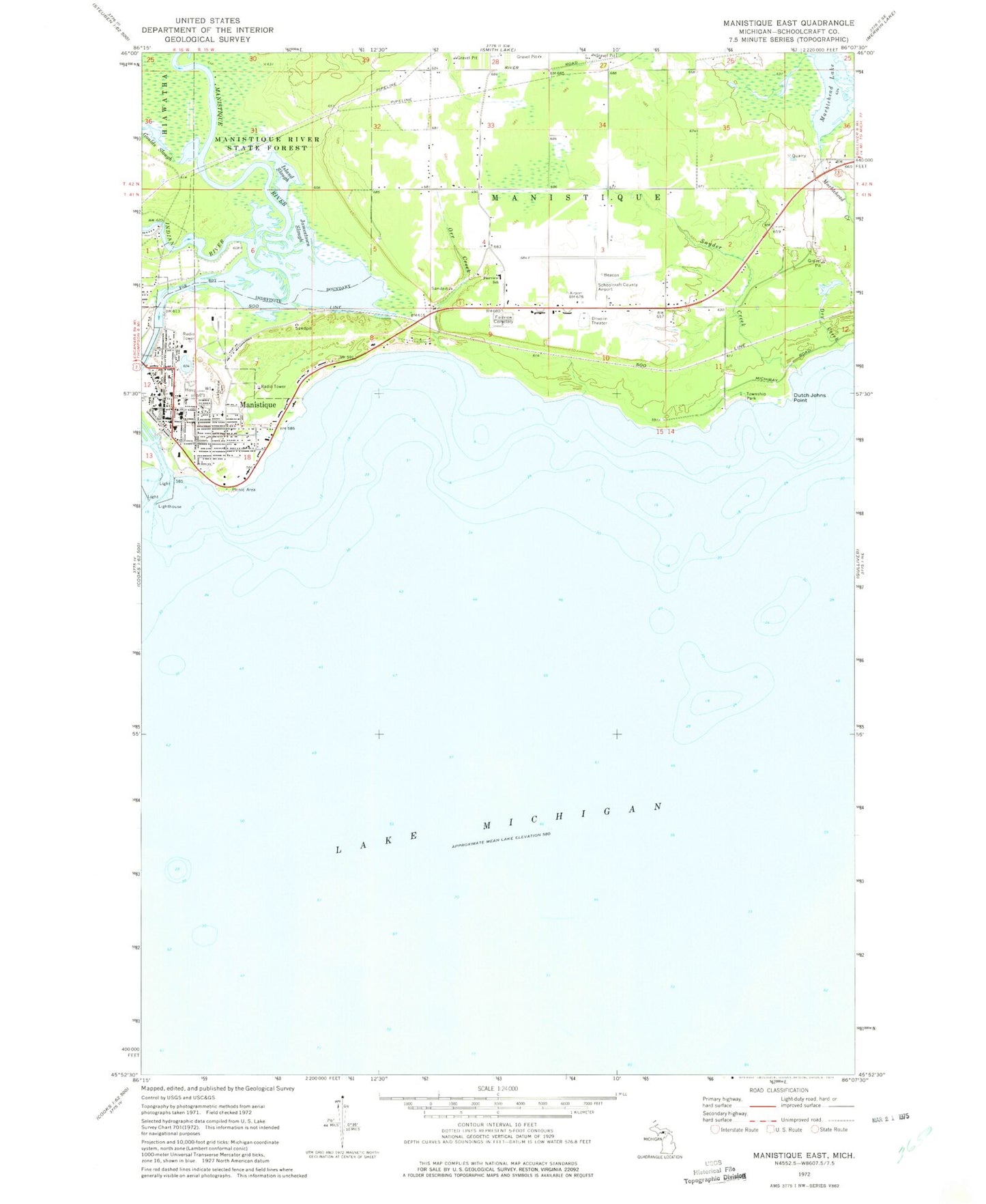
Classic USGS Manistique East Michigan 7.5'x7.5' Topo Map
Couldn't load pickup availability
Historical USGS topographic quad map of Manistique East in the state of Michigan. Map scale may vary for some years, but is generally around 1:24,000. Print size is approximately 24" x 27"
This quadrangle is in the following counties: Schoolcraft.
The map contains contour lines, roads, rivers, towns, and lakes. Printed on high-quality waterproof paper with UV fade-resistant inks, and shipped rolled.
Contains the following named places: Bethel Baptist Christian School, Bethel Baptist Church, Dry Creek, Dutch Johns Point, Emerald Elementary School, Fairview Cemetery, Fairview School, First Baptist Church, First United Methodist Church, Goulds Slough, Indian River, Island Slough, Jamestown Slough, Kingdom Hall of Jehovah's Witnesses, Lakeview Cemetery, Lakeview Park, Lime Kilns Historical Marker, Manistique, Manistique Ambulance Service, Manistique City Hall, Manistique Department of Public Safety Fire Station, Manistique Harbor Pentecostal Church, Manistique High School, Manistique Light, Manistique Municipal Marina, Manistique Post Office, Manistique Public Library, Manistique River, Manistique Township Park, Marblehead Lake, Orr Creek, Presbyterian Church, Rural Health Clinic, Saint Alban's Episcopal Church, Saint Francis de Sales Church, Saint Francis De Sales School, Schoolcraft County Airport, Schoolcraft County Courthouse, Schoolcraft County Fairgrounds, Schoolcraft County Sheriff's Office, Seventh Day Adventist Church, Siphon Bridge, Snyder Creek, United States Forest Service, United States Forest Service Manistique Ranger Station, West Breakwater Light, West Pierh Light, Zion Lutheran Church


