MyTopo
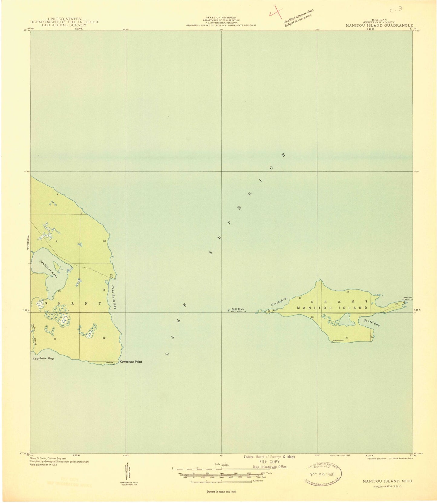
Classic USGS Manitou Island Michigan 7.5'x7.5' Topo Map
Regular price
$16.95
Regular price
Sale price
$16.95
Unit price
per
Couldn't load pickup availability
Historical USGS topographic quad map of Manitou Island in the state of Michigan. Map scale may vary for some years, but is generally around 1:24,000. Print size is approximately 24" x 27"
This quadrangle is in the following counties: Keweenaw.
The map contains contour lines, roads, rivers, towns, and lakes. Printed on high-quality waterproof paper with UV fade-resistant inks, and shipped rolled.
Contains the following named places: Fadner Point, Fishermans Bay, Gill Lake, Gull Rock, Gull Rock Light, High Rock Bay, Keweenaw Point, Keystone Bay, Manitou Island, Manitou Island Lighthouse, North Bay, Perch Lake, Schlatter Lake, South Bay, Square Bay, Union Creek