MyTopo
Classic USGS Manleyville Tennessee 7.5'x7.5' Topo Map
Couldn't load pickup availability
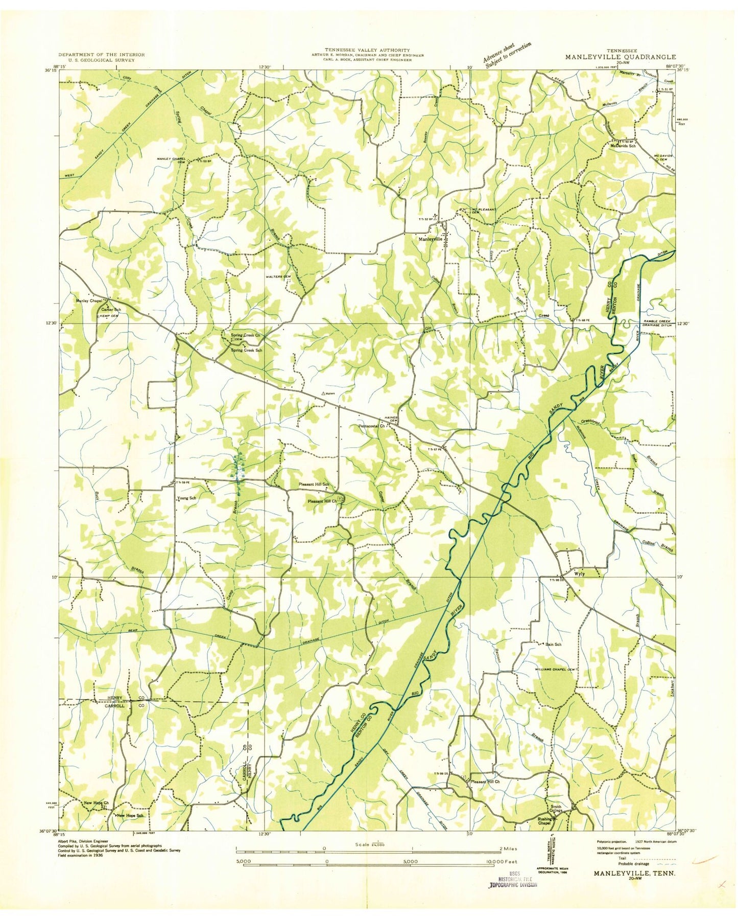
Historical USGS topographic quad map of Manleyville in the state of Tennessee. Map scale may vary for some years, but is generally around 1:24,000. Print size is approximately 24" x 27"
This quadrangle is in the following counties: Benton, Carroll, Henry.
The map contains contour lines, roads, rivers, towns, and lakes. Printed on high-quality waterproof paper with UV fade-resistant inks, and shipped rolled.
Contains the following named places: Allen Cemetery, Atkins Cemetery, Bain, Bain School, Bear Creek, Bear Creek Mill, Beaverdam Lake, Buck Branch, Camp Branch, Carter Cemetery, Carter School, Chapel Branch, Cherry Branch, Clifty Creek, Collins Branch, Comer Branch, Crossnoe Slough, Dottys Store, Dry Creek, Francisco Cemetery, French Cemetery, Gin Creek, Greenbrier Branch, Gum Slough, Haines Cemetery, Halls, Kemp Cemetery, Lockhart Branch, Lowry Cemetery, Manleys Chapel, Manleys Chapel Cemetery, Manleyville, Manleyville Cemetery, Manleyville School, Manteys Chapel, Manteys Chapel Cemetery, Marberry Branch, McDavid Branch, McDavid Grove Cemetery, McDavid Grove Church, McDavid School, Meadowlark Airport, New Hope Cemetery, New Hope Church, New Hope School, Paris Landing Airpark, Patterson Cemetery, Pentecostal Church, Pleasant Hill, Pleasant Hill Cemetery, Pleasant Hill Church, Pleasant Hill Methodist Church, Pleasant Hill School, Porter Cemetery, Raccoon Branch, Ramble Creek, Rowden Cemetery, Rushing Church, Rushing Creek, Rushing Creek Community Center, Sandy River Volunteer Fire Department, Smith College, Snake Branch, Spring Creek, Spring Creek Cemetery, Spring Creek Church, Spring Creek School, Springville, Springville Division, Swift Cemetery, Swift Slough, Tabernacle Cemetery, Tick Point Cemetery, Travis Cemetery, Walters Cemetery, Walters Store, Williams Grove Cemetery, Williams Grove Church, Woodson Branch, Young School


