MyTopo
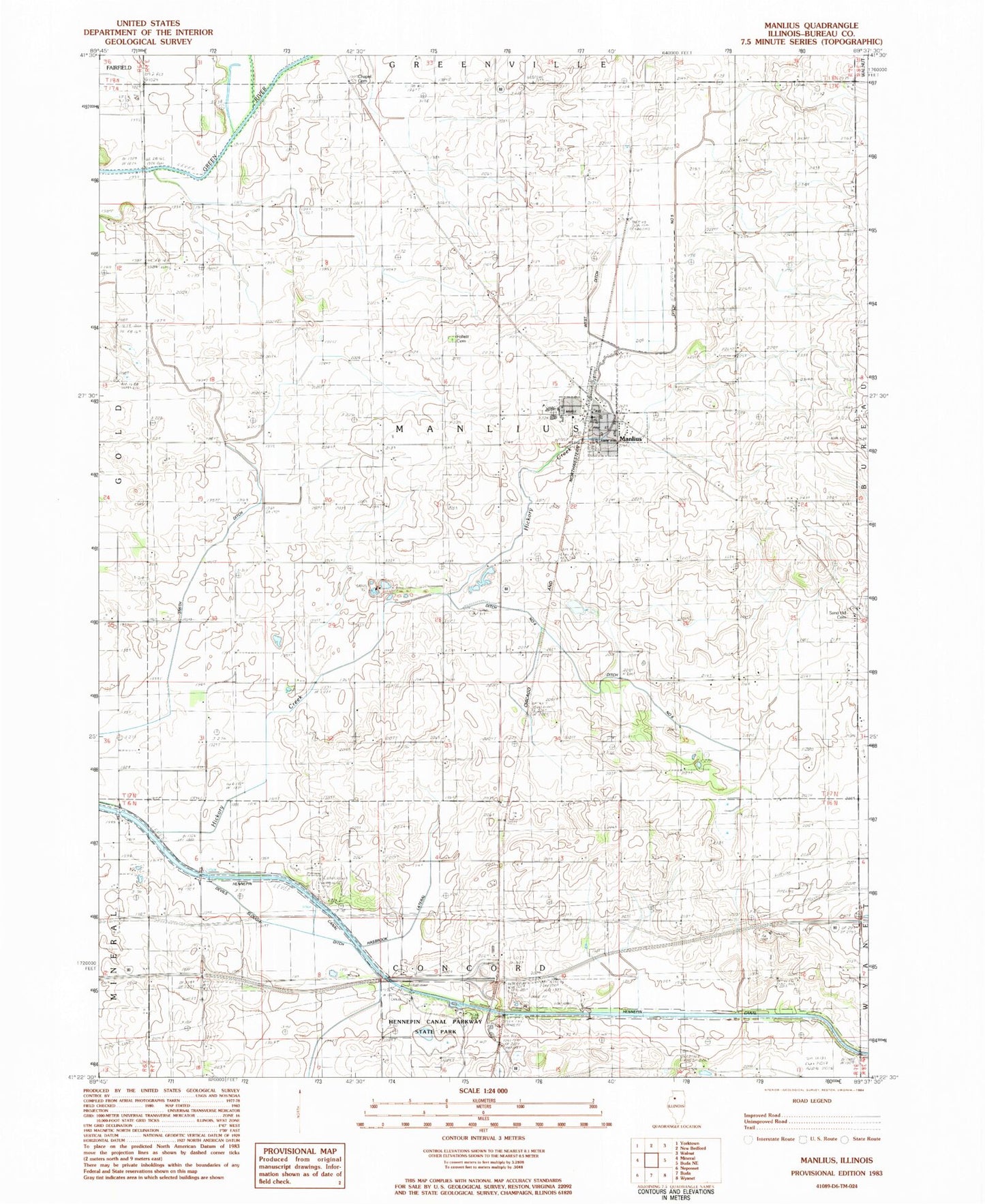
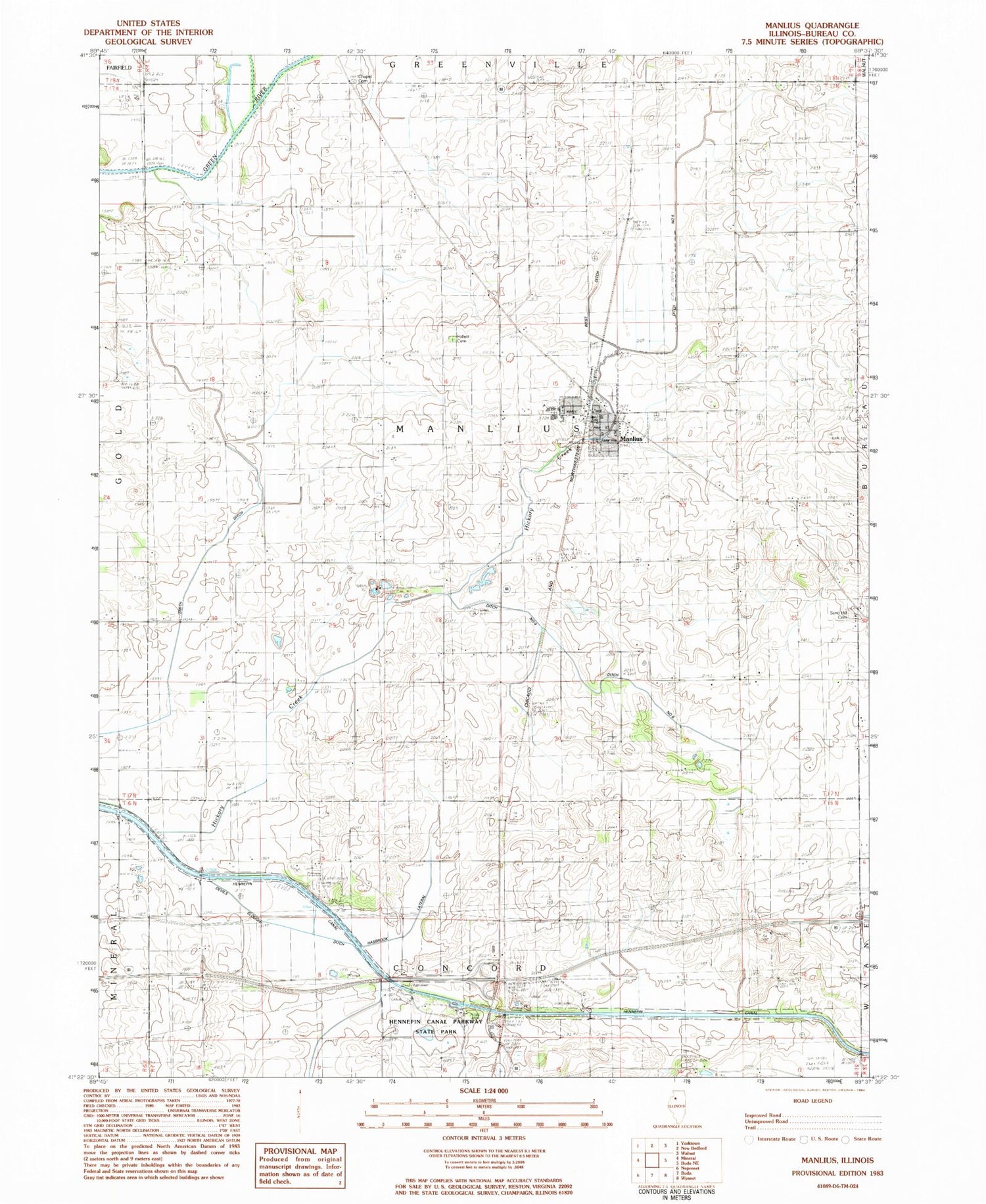
Classic USGS Manlius Illinois 7.5'x7.5' Topo Map
Couldn't load pickup availability
Historical USGS topographic quad map of Manlius in the state of Illinois. Map scale may vary for some years, but is generally around 1:24,000. Print size is approximately 24" x 27"
This quadrangle is in the following counties: Bureau.
The map contains contour lines, roads, rivers, towns, and lakes. Printed on high-quality waterproof paper with UV fade-resistant inks, and shipped rolled.
Contains the following named places: Bureau Valley Elementary School-Manlius, Bureau Valley High School, Condon School, Cook School, Cunningham School, Devils Slough Ditch, Ditch Number 4, Ditch Number 5, Ditch Number 6, Follett Cemetery, Grace United Brethren Church, Hasbrook Lateral Ditch, Hennepin Canal Parkway State Park, Hickory Creek, Hickory Grove School, Hunt School, Krebs School, Littlefield School, Manlius, Manlius Ambulance, Manlius Cemetery, Manlius Fire Protection District, Manlius Post Office, New Bedford Chapel Cemetery, Old Manlius School, Prather School, Red School, Ridge School, Sand Hill Baptist Cemetery, Sand Hill Church, Sisson School, Smith Ditch, Township of Manlius, Trinity Lutheran Church, Village of Manlius, West Ditch, ZIP Code: 61338