MyTopo
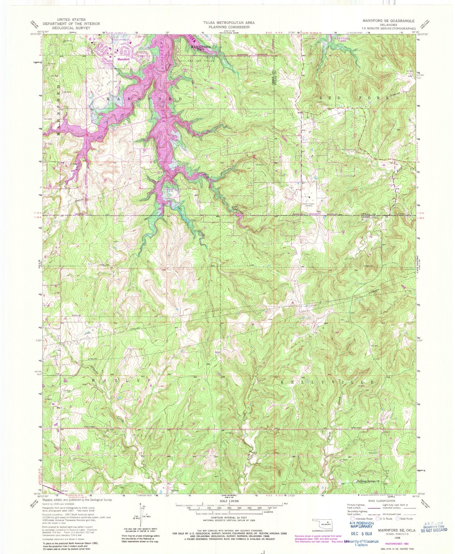
Classic USGS Mannford SE Oklahoma 7.5'x7.5' Topo Map
Couldn't load pickup availability
Historical USGS topographic quad map of Mannford SE in the state of Oklahoma. Map scale may vary for some years, but is generally around 1:24,000. Print size is approximately 24" x 27"
This quadrangle is in the following counties: Creek, Tulsa.
The map contains contour lines, roads, rivers, towns, and lakes. Printed on high-quality waterproof paper with UV fade-resistant inks, and shipped rolled.
Contains the following named places: Dripping Springs Church, Fish Creek, Keystone Volunteer Fire Department, KRMG-AM (Tulsa), Little Salt Creek, Mannford Dam, Mannford High School, Mannford Lower Elementary School, Mannford Middle School, Mannford Reservoir, Mannford Upper Elementary School, New Mannford, Township of Kellyville