MyTopo
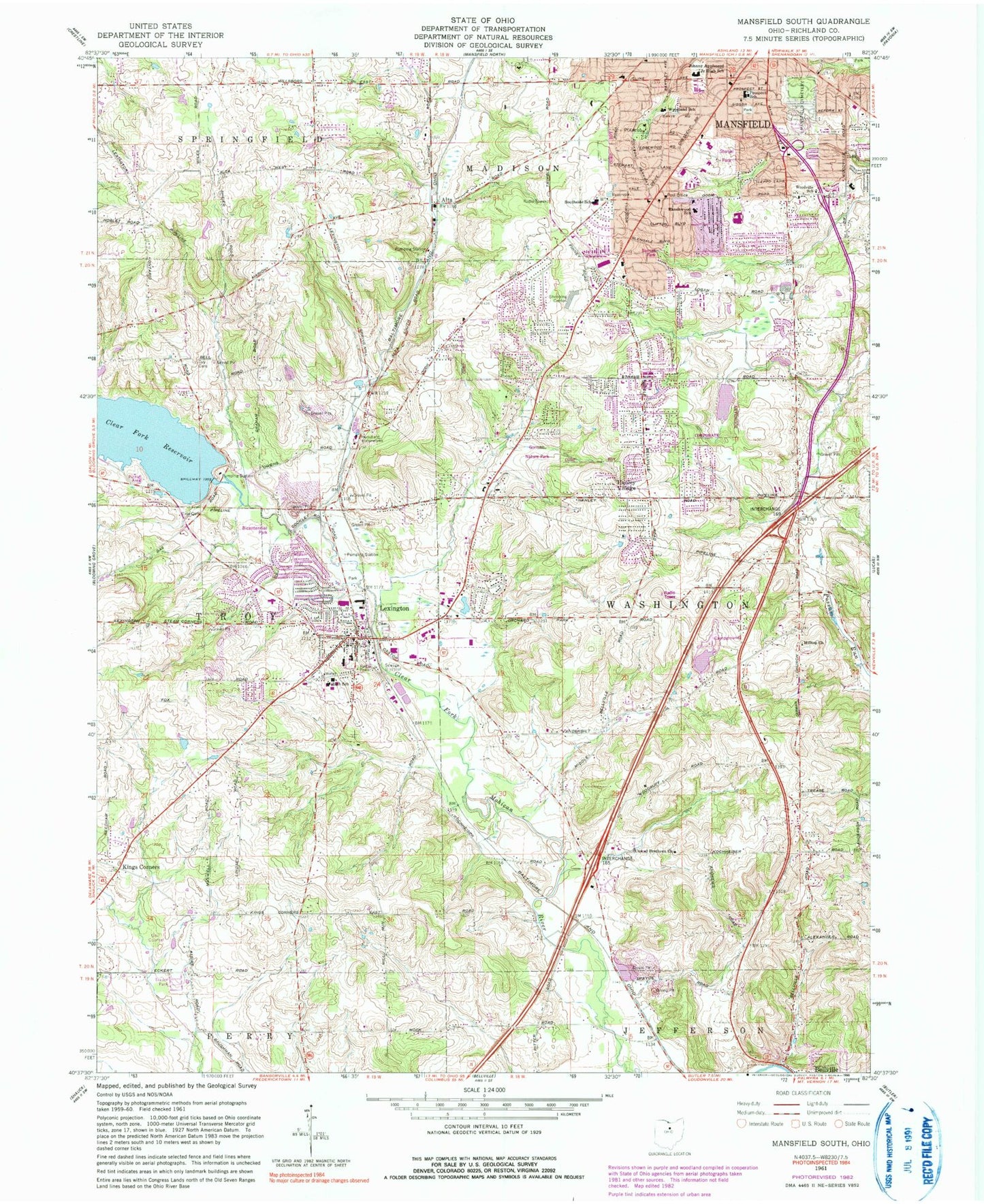
Classic USGS Mansfield South Ohio 7.5'x7.5' Topo Map
Couldn't load pickup availability
Historical USGS topographic quad map of Mansfield South in the state of Ohio. Map scale may vary for some years, but is generally around 1:24,000. Print size is approximately 24" x 27"
This quadrangle is in the following counties: Morrow, Richland.
The map contains contour lines, roads, rivers, towns, and lakes. Printed on high-quality waterproof paper with UV fade-resistant inks, and shipped rolled.
Contains the following named places: Alta, Alta Post Office, Apostolic Christian Church, Apple Hill Orchards, Appleseed Center Shopping Center, Bicentennial Park, Blueberry Patch Greenhouse, Bnai Jacob Congregation, Carter School, Center Hill School, Central Elementary School, Chapelwood Covenant Church, Cherry Valley School, Chestnut Chapel School, Church of Christ, Church of the Cross United Methodist Church, Clearfork Reservoir Dam, Clover Hill School, Cook Road Baptist Church, Critical Life Emergency Medical Services, Day Cemetery, Diamond Hills Baptist Church, Dickson Park, Fallerius Pond, Fallerius Pond Dam, Fellowship Baptist Church, First Church of the Nazarene, First Congregational Church, German Evangelical Cemetery, Gorman Nature Park, Grace Brethren Church, Hanley Village, Hilltop Church, Holy Trinity Lutheran Church, John Todd Park, Johnny Appleseed Junior High School, Ken-mar Mobile Home Park, Kings Corners, Lake Maria, Lake Maria Dam, Lexington, Lexington Cemetery, Lexington Church of Christ, Lexington High School, Lexington Junior High School, Lexington Park, Lexington Police Department, Lexington Post Office, Lexington United Presbyterian Church, Malabar Middle School, Mansfield Bible Church, Mansfield Christian School, Mansfield City Cemetery, Mansfield Fire Department Station 3, Mansfield Fire Department Station 4, Mansfield Water Treatment Plant, Oakland School, Ohio State Highway Patrol - Mansfield Patrol Post, Possum Run Golf Course, Prospect Elementary School, Prospect Park, Ranchwood Elementary School, Sandy Hill School, Scenic View Farms, School Number 1, School Number 2, School Number 8, South Boulevards, Southside School, Southwest Post Office, Southwood Baptist Church, Springfield Township Fire Department Station 2, Sterkel Park, Sunset Park, Temple Emanuel, Township of Troy, Township of Washington, Troy Cemetery, Troy Township Fire Department, Village of Bellville, Village of Lexington, Vine Hill School, Washington Township Fire Department, Western Elementary School, Woodland Elementary School, Woodville Elementary School, Woodville Grace Brethren Church, WVMC-FM (Mansfield), ZIP Codes: 44904, 44907


