MyTopo
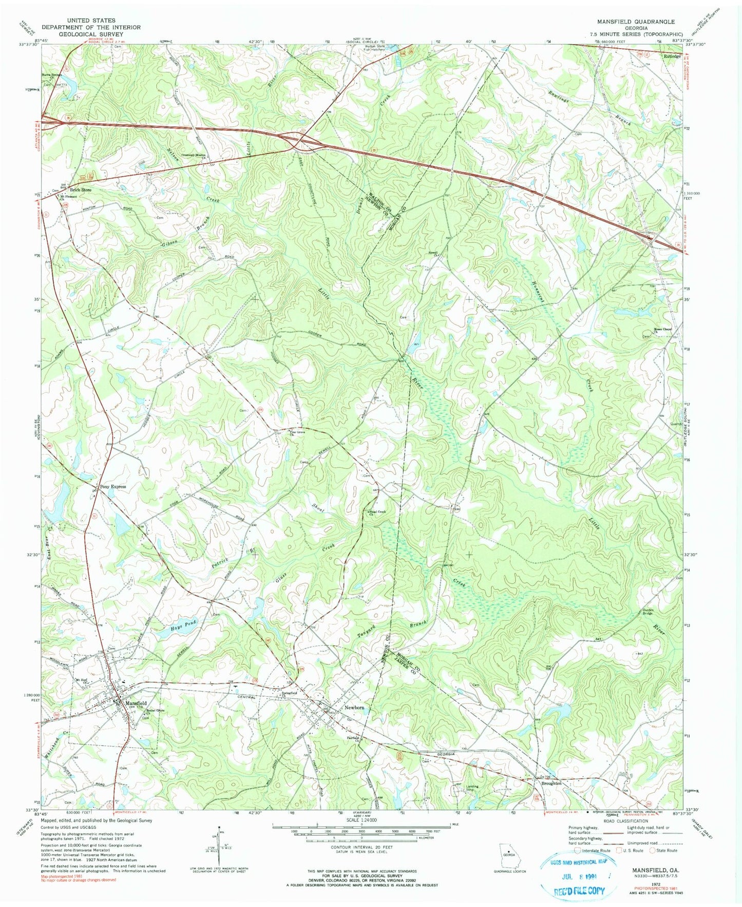
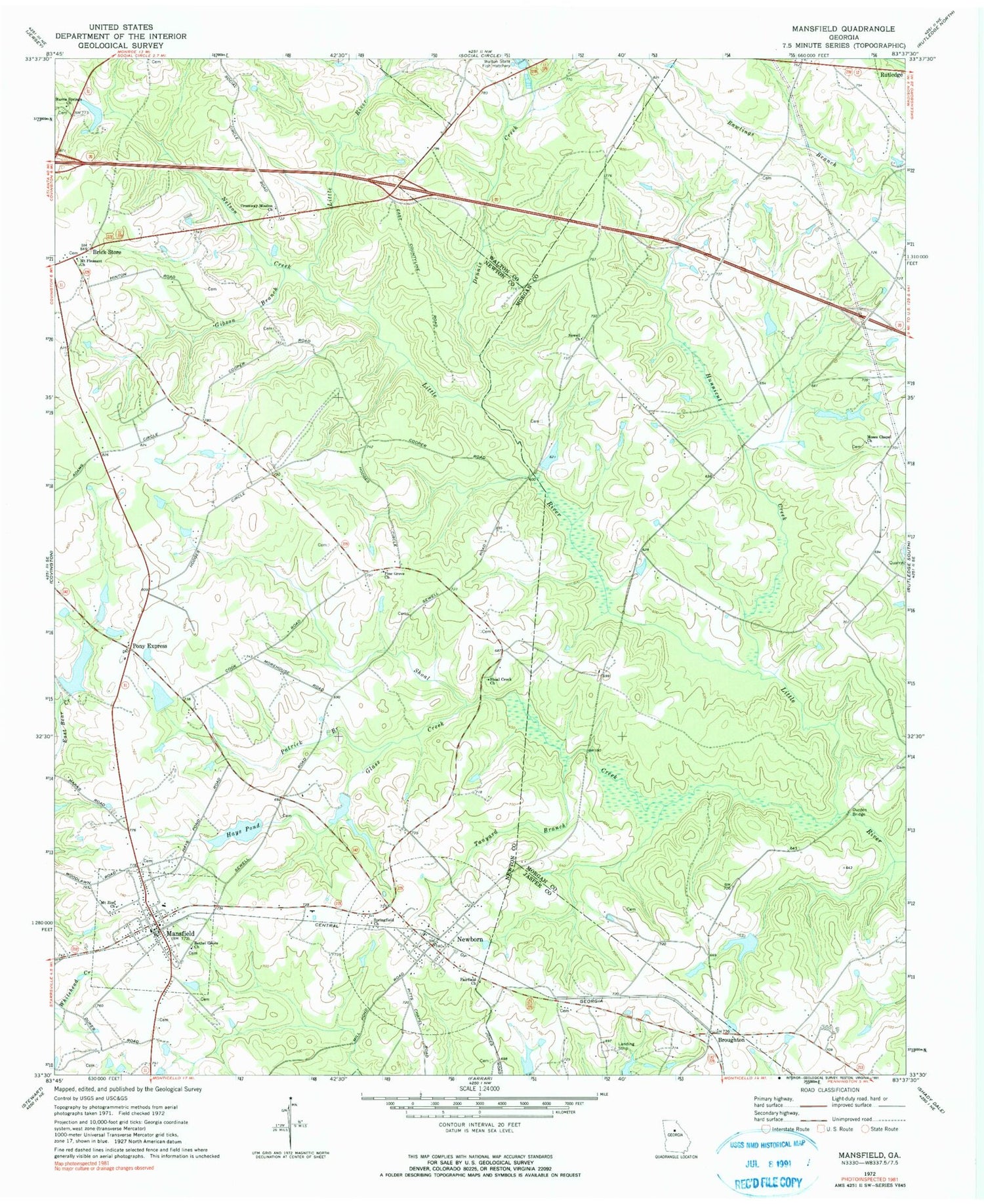
Classic USGS Mansfield Georgia 7.5'x7.5' Topo Map
Couldn't load pickup availability
Historical USGS topographic quad map of Mansfield in the state of Georgia. Map scale may vary for some years, but is generally around 1:24,000. Print size is approximately 24" x 27"
This quadrangle is in the following counties: Jasper, Morgan, Newton, Walton.
The map contains contour lines, roads, rivers, towns, and lakes. Printed on high-quality waterproof paper with UV fade-resistant inks, and shipped rolled.
Contains the following named places: Bethel Grove Church, Bowden Lake, Bowden Lake Dam, Brick Store, Broughton, City of Mansfield, Cooper Bridge, Crossway Mission Church, Davis Academy, Davis Cemetery, Deer Track, Dennis Creek, Durden Bridge, Durden Cemetery, Duvall Lake, Duvall Lake Dam, Fairfield Church, Gibson Branch, Glass Creek, Greater Moses Baptist Cemetery, Greater Moses Baptist Church, Harris Springs Cemetery, Harris Springs Church, Hawbon School, Hays Pond, Hays Pond Dam, Hunnicut Creek, Jerusalem, Kenilworth Lake, Kenilworth Lake Dam, Kennedy Dam, Kennedy Intranational Airport, Kennedy Lake, Mansfield, Mansfield Baptist Church, Mansfield Elementary School, Mansfield Post Office, Mansfield United Methodist Church, Mores Pond, Mores Pond Dam, Morgan County Fire Rescue Department Station 12, Morrow, Morrow Meadows Airport, Mount Carmel Church, Mount Carmel Church Cemetery, Mount Pleasant Cemetery, Mount Pleasant Church, Mount Zion Church, Nelson Creek, Newborn, Newborn City Cemetery, Newborn Post Office, Newborn United Methodist Church, Newton County Fire Department Station 15, Newton County Fire Service Station 6, Patrick Branch, Perry Family Cemetery, Pine Grove, Pine Grove Church, Pony Express, Quail Valley, Rutledge Academy, Sewell Cemetery, Sewell Church, Shoal Creek, Shoal Creek Church, Springfield Church, Stokes Lake, Stokes Lake Dam, Surry Chase, Tanyard Branch, Town of Newborn, Walton State Fish Hatchery, Willow Woods, ZIP Code: 30056


