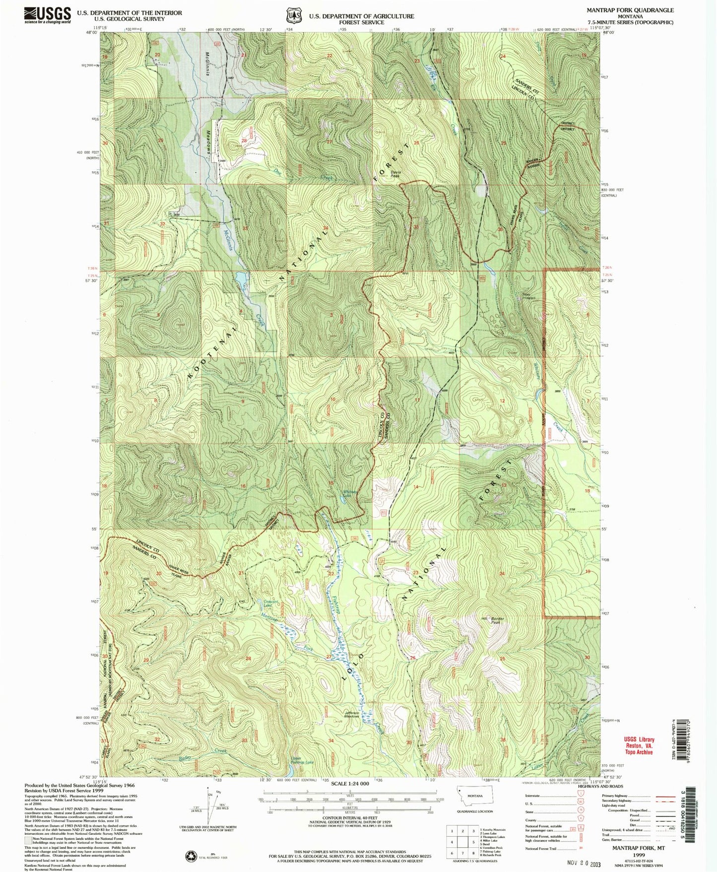
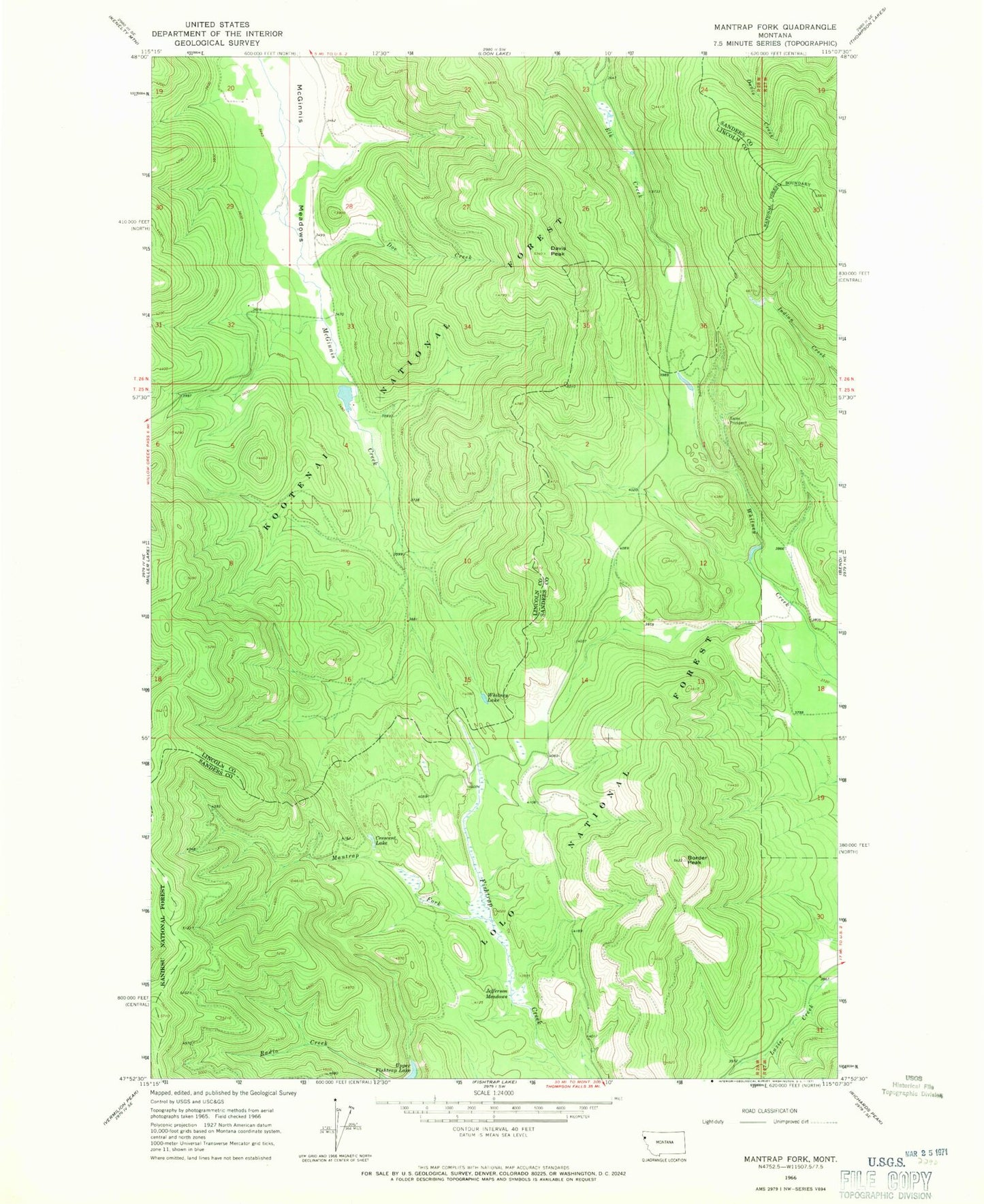
MyTopo
Classic USGS Mantrap Fork Montana 7.5'x7.5' Topo Map
Regular price
$16.95
Regular price
Sale price
$16.95
Unit price
per
Couldn't load pickup availability
Historical USGS topographic quad map of Mantrap Fork in the state of Montana. Map scale may vary for some years, but is generally around 1:24,000. Print size is approximately 24" x 27"
This quadrangle is in the following counties: Lincoln, Sanders.
The map contains contour lines, roads, rivers, towns, and lakes. Printed on high-quality waterproof paper with UV fade-resistant inks, and shipped rolled.
Contains the following named places: Border Peak, Crescent Lake, Davis Peak, Doe Creek, Jefferson Meadows, Mantrap Fork, McGilla Gorilla Number 50 Dam, McGinnis Meadows, Sales Mine, Sales Prospect, Upper Fishtrap Lake, Whitney Lake