MyTopo
Classic USGS Mantua Ohio 7.5'x7.5' Topo Map
Couldn't load pickup availability
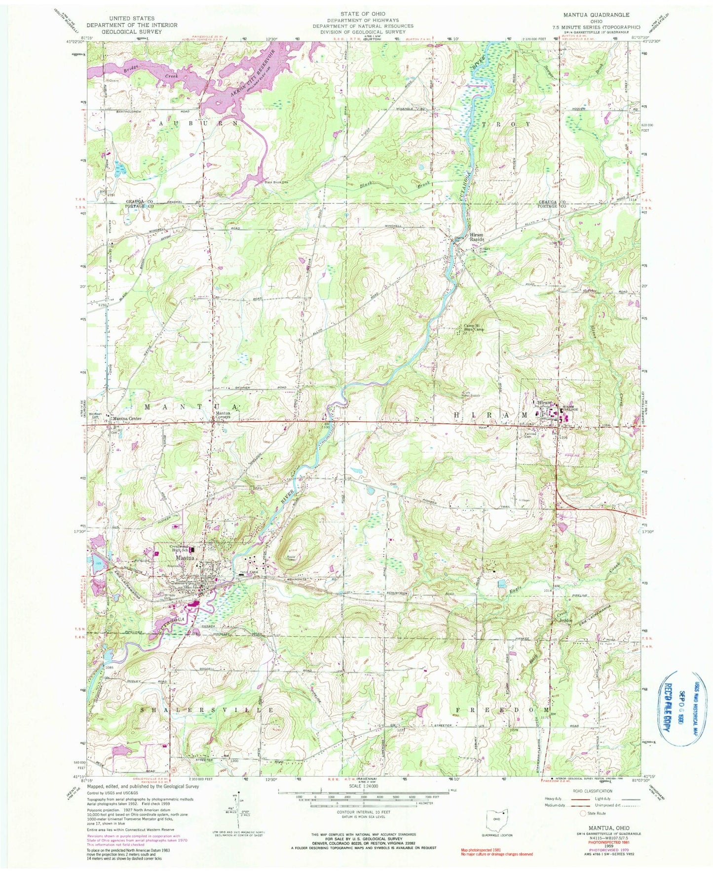
Historical USGS topographic quad map of Mantua in the state of Ohio. Map scale may vary for some years, but is generally around 1:24,000. Print size is approximately 24" x 27"
This quadrangle is in the following counties: Geauga, Portage.
The map contains contour lines, roads, rivers, towns, and lakes. Printed on high-quality waterproof paper with UV fade-resistant inks, and shipped rolled.
Contains the following named places: Bates Hall, Black Brook, Black Brook Dike, Black Brook Ditch, Black Creek, Blackbrook Valley Estates, Bowler Hall, Camp Hi Boys Camp, Carcioppolo Field, Charles A Henry Athletic Field, Charles Tummonds State Nature Preserve, Crestwood High School, Crestwood Middle School, Derthick Hill, Eastlawn Cemetery, Fairview Cemetery, Far View Airport, Frohring Art Building, Frohring Music Building, Henry Hall, Hillside Cemetery, Hinsdale Hall, Hiram, Hiram College, Hiram Elementary School, Hiram Fire Department, Hiram Post Office, Hiram Rapids, Hiram Village Police Department, Jeddoe, Johnson Farm, Kennedy Center, Lucky Penny Farm, Mantua, Mantua - Shalersville Fire Department, Mantua Center, Mantua Center Elementary School, Mantua Center Historic District, Mantua Corners, Mantua Post Office, Mantua Swamp, Mantua Village Elementary School, Mantua Village Police Department, Marsh Wetlands State Nature Preserve, Miller Hall, Mitchel Farms, Mud Mills, Panorama Farm, Pioneer Trail Cemetery, Pioneer Trail Orchard, Salt Box Airport, Strawman-Fleming Ditch, Teachout-Price Hall, Township of Hiram, Township of Mantua, Vaughn Cemetery, Village of Hiram, Village of Mantua, Westlawn Cemetery, Whistling Pines Farm, Whitcomb Hall, ZIP Codes: 44234, 44255


