MyTopo
Classic USGS Manvel Texas 7.5'x7.5' Topo Map
Couldn't load pickup availability
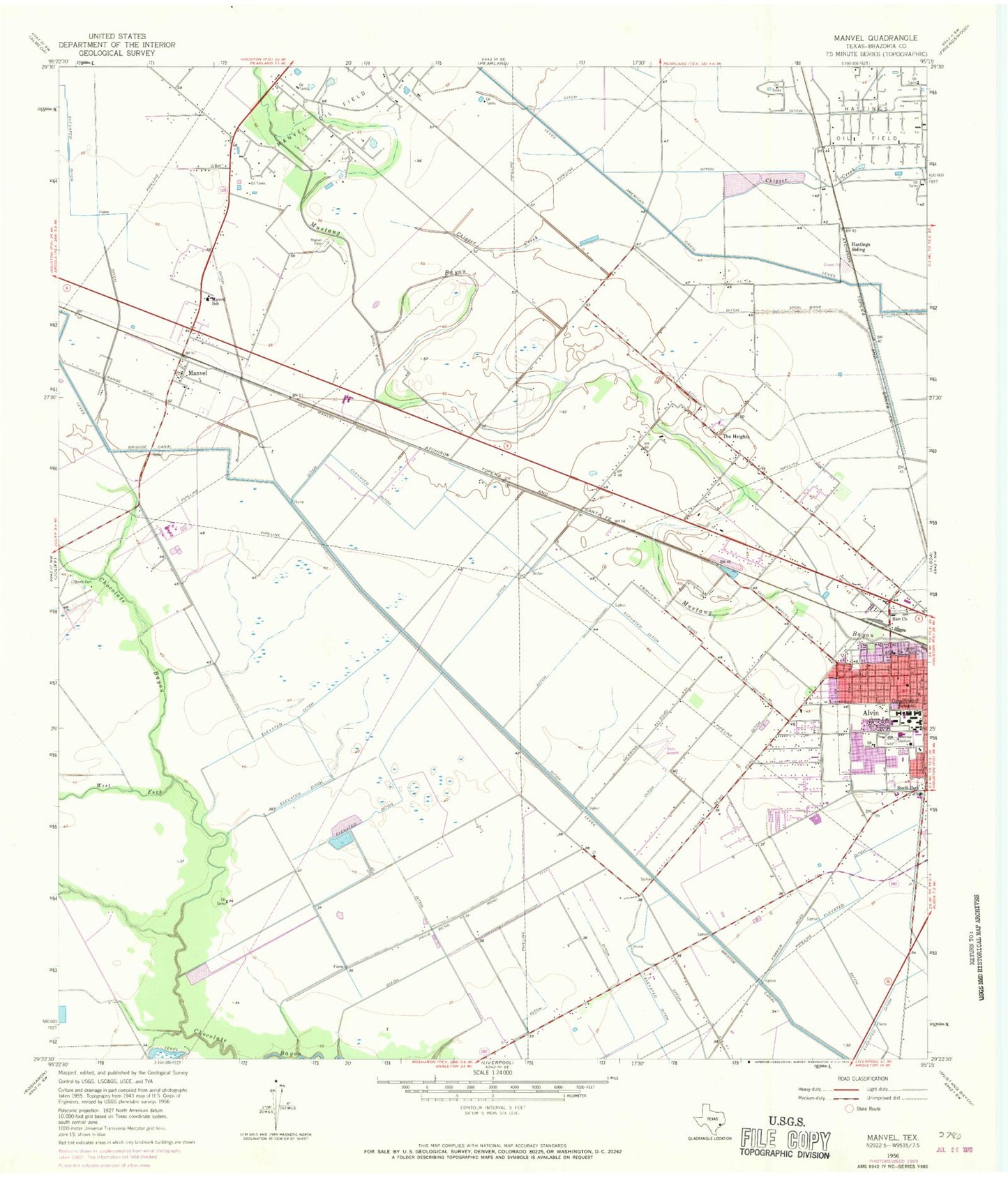
Historical USGS topographic quad map of Manvel in the state of Texas. Map scale may vary for some years, but is generally around 1:24,000. Print size is approximately 24" x 27"
This quadrangle is in the following counties: Brazoria.
The map contains contour lines, roads, rivers, towns, and lakes. Printed on high-quality waterproof paper with UV fade-resistant inks, and shipped rolled.
Contains the following named places: Alvin Airpark, Alvin Church of the Nazarene, Alvin Elementary School, Alvin High School, Alvin Independent School District Police Department, Alvin Junior High School, Alvin Memorial Stadium, Alvin Missionary Baptist Church, Alvin Primary School, Alvin Volunteer Fire Department Station 3, Apostolic Faith Church, Booth Cemetery, Brazoria County Constable's Office Precinct 2, Briscoe Canal, CIG 812 Heliport, City of Manvel, Consolidated Schools, County Road 143 Volunteer Fire Department, E C Mason Primary School, First Assembly of God, Harby Junior High School, Hastings Siding, Hayes Creek, Hillcrest, Hood Case Elementary School, Kings Row Baptist Church, Manvel, Manvel Bible Chapel Church, Manvel Cemetery, Manvel Church of Christ, Manvel City Hall, Manvel Emergency Medical Services, Manvel Junior High School, Manvel Police Department, Manvel Post Office, Manvel School, Manvel Volunteer Fire Department, Melba Passmore Elementary School, Morgan Park, Newman Park, Primera Iglesia Bautista de Manvel Church, Rice Church, South Park Church, The First Presbyterian Church of Alvin, The Heights, West Fork Chocolate Bayou, Wolfe Air Park, ZIP Code: 77578


