MyTopo
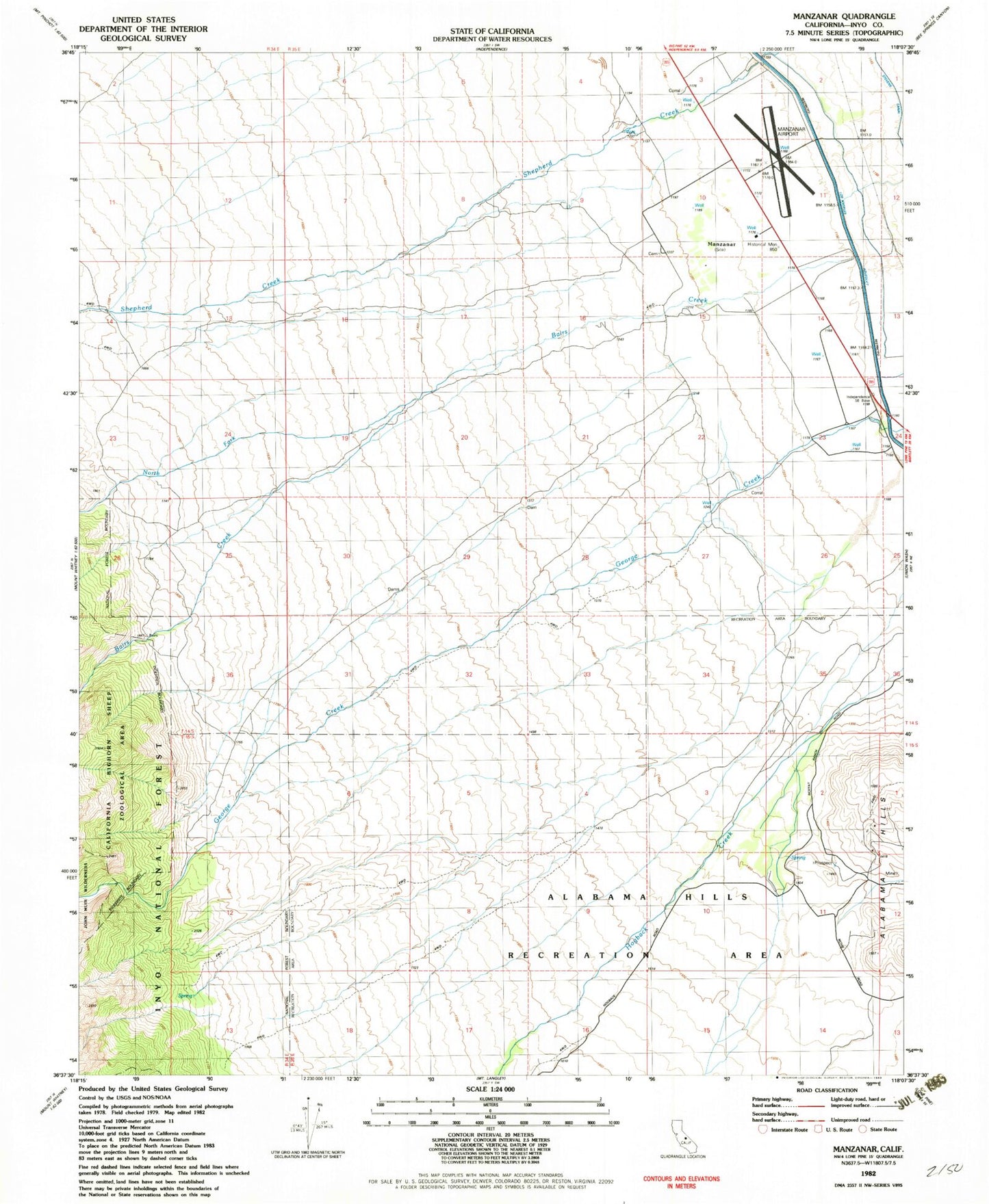
Classic USGS Manzanar California 7.5'x7.5' Topo Map
Couldn't load pickup availability
Historical USGS topographic quad map of Manzanar in the state of California. Typical map scale is 1:24,000, but may vary for certain years, if available. Print size: 24" x 27"
This quadrangle is in the following counties: Inyo.
The map contains contour lines, roads, rivers, towns, and lakes. Printed on high-quality waterproof paper with UV fade-resistant inks, and shipped rolled.
Contains the following named places: Bairs Creek, George Creek, North Fork Bairs Creek, Manzanar National Historic Site, Manzanar War Relocation Center (historical), Merritt Park (historical), North Park (historical), Bairs Creek, George Creek, North Fork Bairs Creek, Manzanar National Historic Site, Manzanar War Relocation Center (historical), Merritt Park (historical), North Park (historical)