MyTopo
Classic USGS Maple Hill SW North Carolina 7.5'x7.5' Topo Map
Regular price
$16.95
Regular price
Sale price
$16.95
Unit price
per
Couldn't load pickup availability
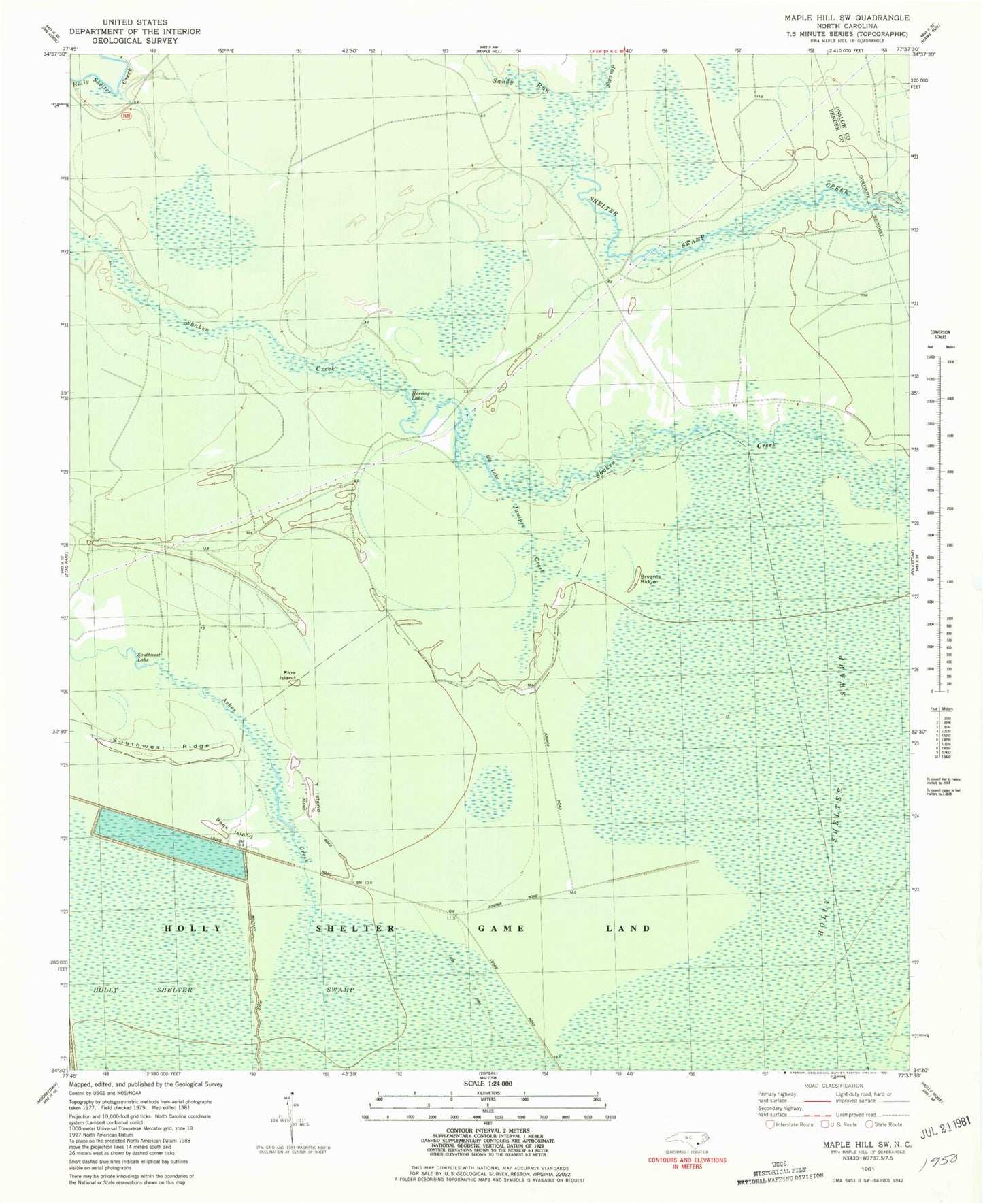
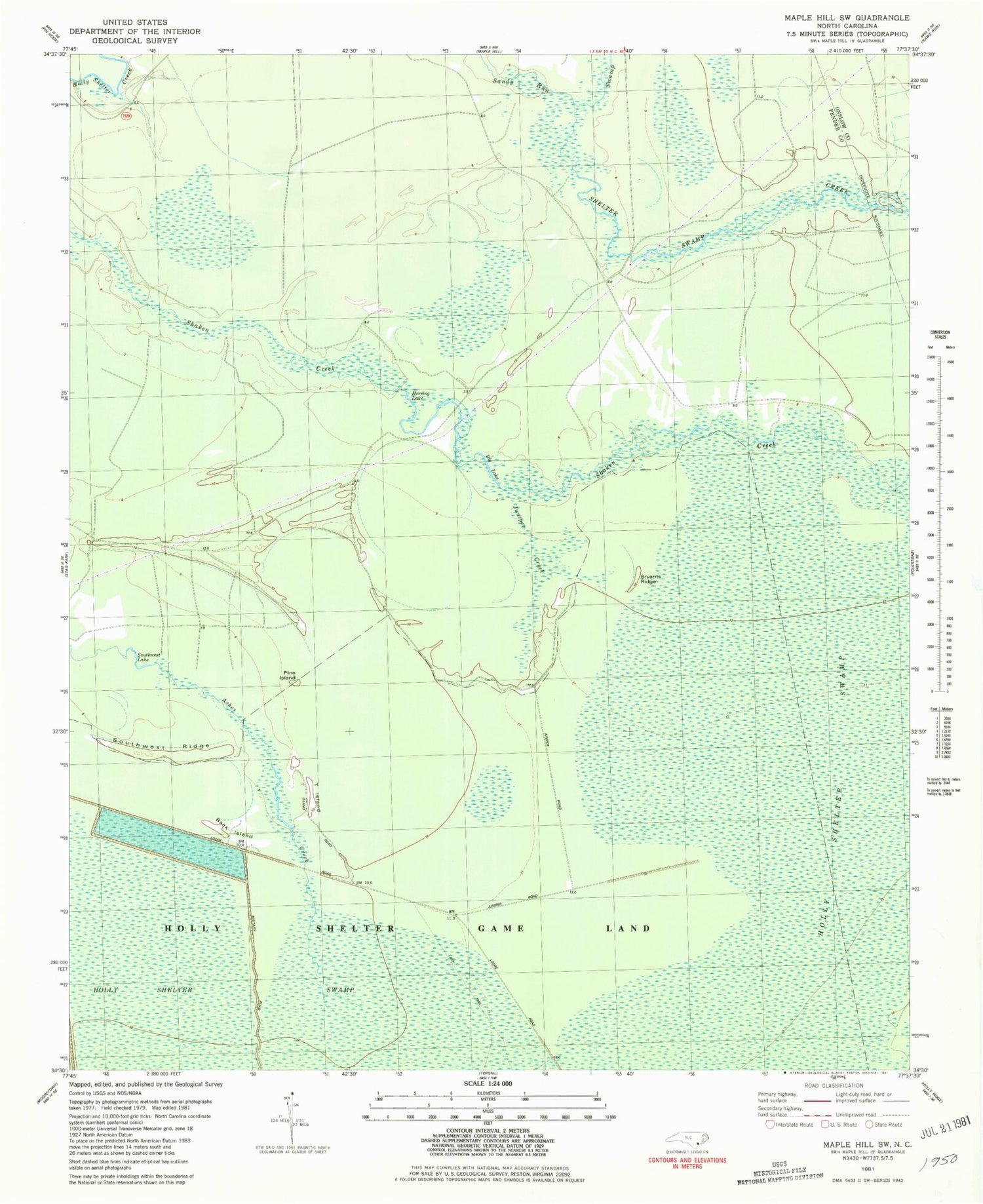
Historical USGS topographic quad map of Maple Hill SW in the state of North Carolina. Map scale may vary for some years, but is generally around 1:24,000. Print size is approximately 24" x 27"
This quadrangle is in the following counties: Onslow, Pender.
The map contains contour lines, roads, rivers, towns, and lakes. Printed on high-quality waterproof paper with UV fade-resistant inks, and shipped rolled.
Contains the following named places: Back Island, Big Lake, Bryants Ridge, Herring Lake, Juniper Creek, Juniper Swamp, Pine Island, Sandy Run Swamp, Shelter Swamp Creek, Southwest Lake, Southwest Ridge, T Island