MyTopo
Classic USGS Maple Rapids Michigan 7.5'x7.5' Topo Map
Couldn't load pickup availability
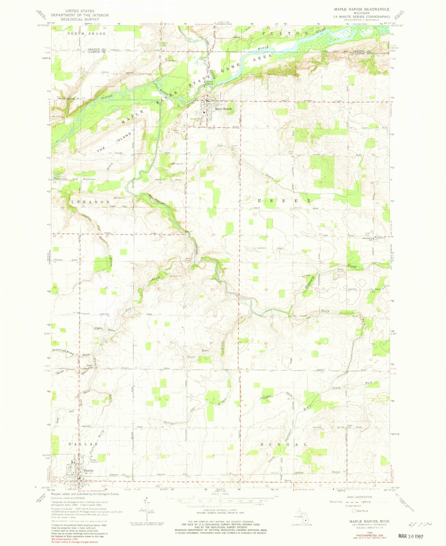
Historical USGS topographic quad map of Maple Rapids in the state of Michigan. Map scale may vary for some years, but is generally around 1:24,000. Print size is approximately 24" x 27"
This quadrangle is in the following counties: Clinton, Gratiot.
The map contains contour lines, roads, rivers, towns, and lakes. Printed on high-quality waterproof paper with UV fade-resistant inks, and shipped rolled.
Contains the following named places: Amspoker Drain, Bancroft Farms, Becker Farm, Beech Cemetery, Catlin and Waters Drain, Congregational Christian Church, Cox Drain, Dallas and Bengal Drain, Dallas Township Fire and Rescue, Double D Farm, Dutch Meadows Dairy, East Essex School, Essex Post Office, Evergreen Dairy, Fisher Drain, Fowler, Fowler Drain, Fowler Post Office, Fowler Station, Frink Cemetery, Frink School, Hayworth Creek, Hickory Hill Farm, Hope Bible Baptist Church, Jones Drain, Long and Pierce Drain, Lowe Cemetery, Lowe Church, Maple Rapids, Maple Rapids Library, Maple Rapids Police Department, Maple Rapids Post Office, Maple Rapids Village Cemetery, Maple Rapids Volunteer Fire Department, Maple River State Game Area, Most Holy Trinity Church, Most Holy Trinity School, Nobis Dairy Farms, North Swargart Drain, Payne Cemetery, Peet Creek, Piggott Drain, Piggott Farms, Pine Creek, Rich - Ro Farms, Rocky Island Farm, Saint Paul Catholic Church, Schneider Farms, Sisung Farms, South Fork Hayworth Creek, Stoll Cemetery, Sturgis Drain, T and H Dairy, The Island, Thelen Dairy, Township of Essex, Triple H Farm, Village of Fowler, Village of Maple Rapids, Wager Cemetery, Wieber Dairy, ZIP Codes: 48835, 48853


