
MyTopo
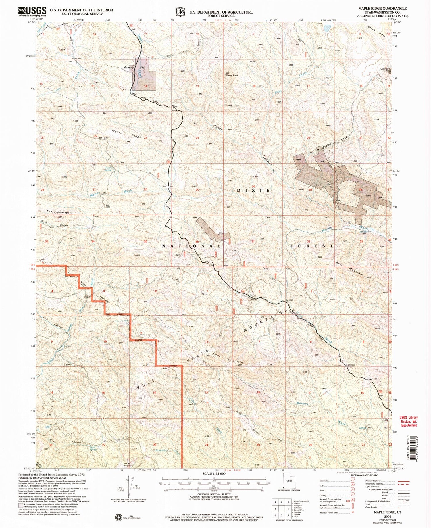
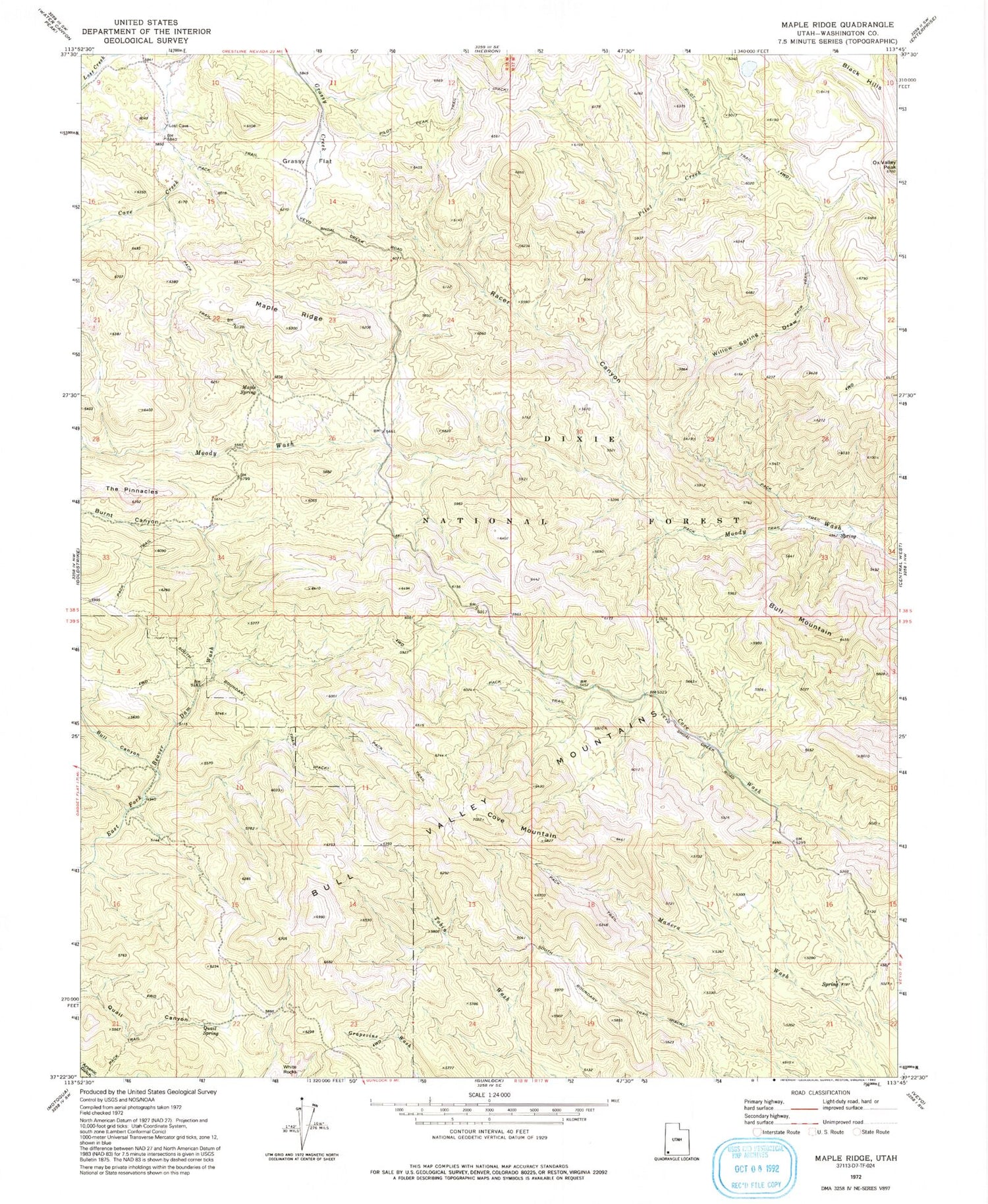
Classic USGS Maple Ridge Utah 7.5'x7.5' Topo Map
Couldn't load pickup availability
Historical USGS topographic quad map of Maple Ridge in the state of Utah. Typical map scale is 1:24,000, but may vary for certain years, if available. Print size: 24" x 27"
This quadrangle is in the following counties: Washington.
The map contains contour lines, roads, rivers, towns, and lakes. Printed on high-quality waterproof paper with UV fade-resistant inks, and shipped rolled.
Contains the following named places: Black Hills, Bull Canyon, Bull Mountain, Burnt Canyon, Cove Mountain, Grassy Flat, Maple Ridge, Maple Spring, Ox Valley Peak, Pilot Creek, Quail Spring, Racer Canyon, South Boundary Trail, The Pinnacles, White Rocks, Willow Spring Draw, Ox Valley Lake, Racer Canyon Creek, Doc Watson Spring, Windy Peak


