MyTopo
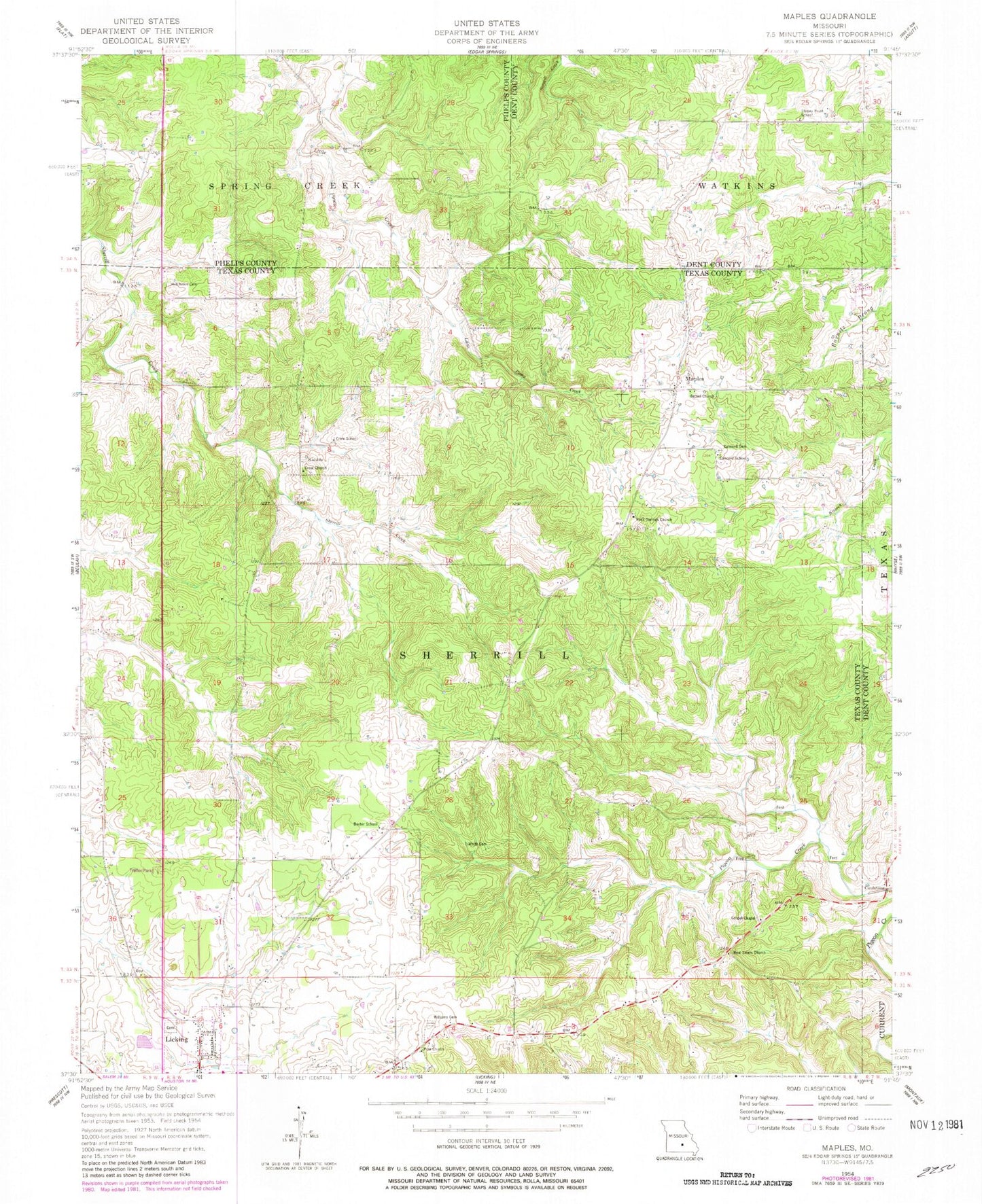
Classic USGS Maples Missouri 7.5'x7.5' Topo Map
Couldn't load pickup availability
Historical USGS topographic quad map of Maples in the state of Missouri. Map scale may vary for some years, but is generally around 1:24,000. Print size is approximately 24" x 27"
This quadrangle is in the following counties: Dent, Phelps, Texas.
The map contains contour lines, roads, rivers, towns, and lakes. Printed on high-quality waterproof paper with UV fade-resistant inks, and shipped rolled.
Contains the following named places: Baxter School, Bethel Church, Bethel School, Concord Baptist Church, Concord Cemetery, Concord School, Coulstone, Crow Church, Crow School, Gospel Chapel, Hutchison Cemetery, Kimble, Maples, New Salem Church, Old Crow Camp Ground, Pigeon Creek School, Pine Church, Reed Cemetery, Rock Spring Church, South Central Correctional Center, Stoney Point School, Township of Sherrill, White Cemetery, Williams Cemetery