MyTopo
Classic USGS Mapleton Michigan 7.5'x7.5' Topo Map
Couldn't load pickup availability
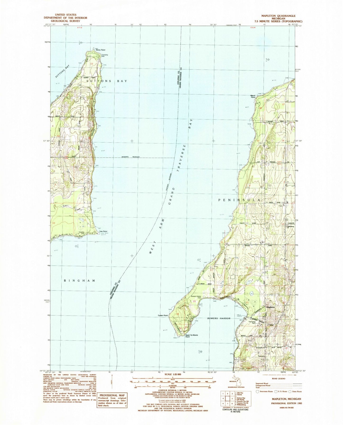
Historical USGS topographic quad map of Mapleton in the state of Michigan. Map scale may vary for some years, but is generally around 1:24,000. Print size is approximately 24" x 27"
This quadrangle is in the following counties: Grand Traverse, Leelanau.
The map contains contour lines, roads, rivers, towns, and lakes. Printed on high-quality waterproof paper with UV fade-resistant inks, and shipped rolled.
Contains the following named places: Bowers Harbor, Bowers Harbor Cemetery, Bowers Harbor Marina, Cherry Beach Orchards, Hendryx Park, Lee Creek, Lee Point, Mapleton, Mapleton Medical Clinic, Mapleton Post Office, Merril Point, Neah-Ta-Wanta Point, Neahtawanta Post Office, Ogdensburg Cemetery, Ogdensburg Church, Old Mission Peninsula, Peninsula Township Fire Department Station 1, Peninsula Township Park, Saint Josephs Church, Solem Orchard, Stony Point, Sutton Bay Township Park, Township of Peninsula, Tucker Point, West Arm Grand Traverse Bay


