MyTopo
Classic USGS Marais Saline Arkansas 7.5'x7.5' Topo Map
Couldn't load pickup availability
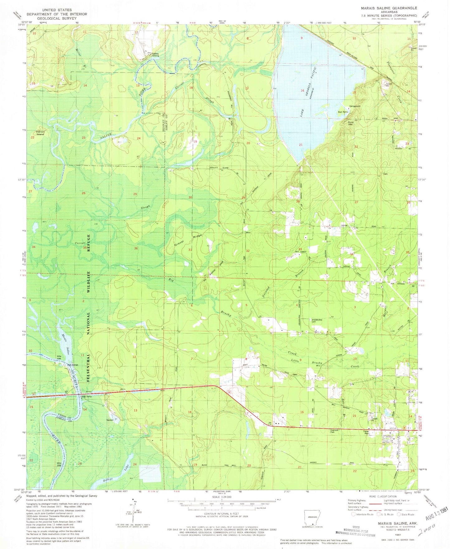
Historical USGS topographic quad map of Marais Saline in the state of Arkansas. Map scale may vary for some years, but is generally around 1:24,000. Print size is approximately 24" x 27"
This quadrangle is in the following counties: Ashley, Bradley, Union.
The map contains contour lines, roads, rivers, towns, and lakes. Printed on high-quality waterproof paper with UV fade-resistant inks, and shipped rolled.
Contains the following named places: Arkadelphia Cemetery, Bell Branch, Big Brushy Creek, Blanchton, Brushy Creek, Carroll Slough, Cooter School, Crossett Harbor Recreation Site, Felsenthal National Wildlife Refuge, Godfrey Landing, Godfrey Volunteer Fire Station, Gravel Ridge, Horton Island, Lake Georgia-Pacific, Lake Georgia-Pacific Dam, Little Brushy Creek, Locke School, Marais Saline, Marie Saline Landing, Maxwell Branch, Miller Branch, Norwood Branch, Round Turn, United States Fish and Wildlife Felsenthal National Wildlife Refuge Park Security, Wallace School, West Crossett Census Designated Place, West Crossett Fire Department